Daviess County, County seat in northwestern Missouri, US
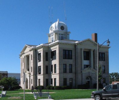
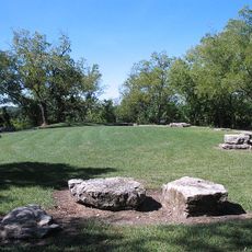
Daviess County covers flat to rolling terrain in northwestern Missouri with several waterways, including the Grand River running through the eastern section. The county seat of Gallatin serves as the central hub for administration and regional services.
This county was established in 1836 as part of Missouri's expansion into northern regions during westward settlement. The name honors Major Joseph Hamilton Daviess, a military officer connected to the nation's early territorial conflicts.
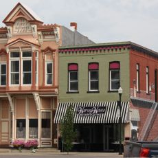
Jamesport is home to a large Amish community that shapes the local landscape through horse-drawn buggies and traditional crafts visible throughout the area. Visitors can observe how this group influences the region's shops, farms, and building styles today.
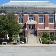
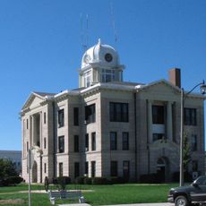
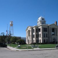
Services and administrative offices are concentrated in Gallatin, where you'll also find local museums and historical sites. A car is essential for getting around, as the area is rural and public transportation options are limited.
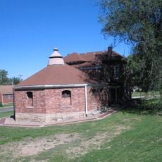
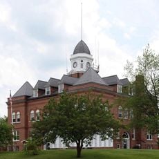
The Daviess County Rotary Jail in Gallatin is one of only three circular jails still standing in the United States. Today it operates as a museum and displays an unusual 19th-century solution for managing prisoners in a rotating structure.
The community of curious travelers
AroundUs brings together thousands of curated places, local tips, and hidden gems, enriched daily by 60,000 contributors worldwide.