Chest opened
+${chestReward.xp} XP
Explorer
NOUVEAU ×${chestReward.collectible.quantity}
tapez pour fermer
Chest locked

Open chests in the app

Around Us is built for your phone — chests unlock when you walk, explore and capture nearby places.

Enable Location

We need your location to show you interesting places around you

Discover nearby places

Find interesting locations and hidden gems around you

Precise directions

Get accurate directions and distances to places

Your location is never shared with other users. It's only used when you tap the location button.

Wisconsin River

Log in to your account

Start exploring — it's free

Trusted by 72,888 travelers worldwide

Continue with Google
Continue with Apple
or

We will send you a code to connect

By continuing, you accept our Terms and Conditions and our Privacy Policy

Check your inbox

We've sent a pincode in your inbox. Please enter the code below.

Wisconsin River
Discussion Reviews 2 Photos
33.1k Popularity

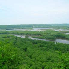
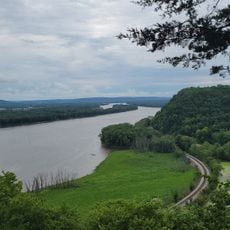
Wisconsin River, Natural waterway in Wisconsin, United States

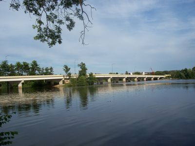
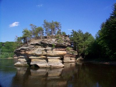
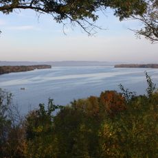
The Wisconsin River flows approximately 430 miles through the state from its northern source, eventually joining the Mississippi River in the southern part. Multiple dams along its course create reservoirs where people fish, boat, and enjoy various water activities.

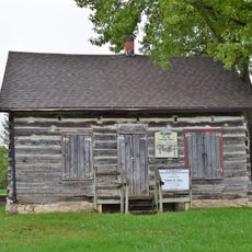
During the 1800s, timber from northern forests was floated downstream along this river to supply growing markets. This logging era shaped the economic development and settlement patterns throughout the region.

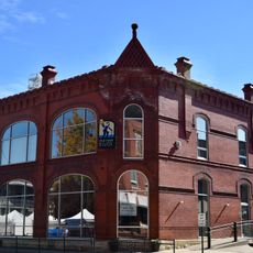
For local communities, this waterway has long served as a vital connection for sustenance and movement through the landscape. You can see how people still gather along the banks for fishing and recreation, maintaining a tie to the river's role in everyday life.

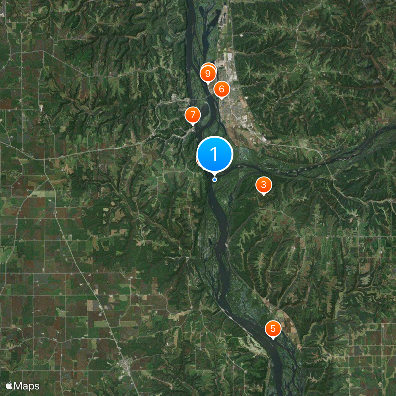
Access to the river is available at multiple locations, particularly at the lakes formed by dams where facilities for water activities exist. Water conditions vary by season, so checking local information before visiting helps you plan your time on or near the water.

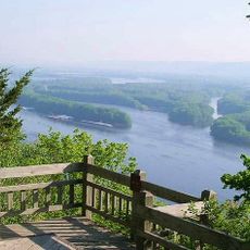
Near Portage, this river comes remarkably close to the Fox River, creating a natural link between two major river systems. This proximity connects the Mississippi River watershed to the Great Lakes system through a very short portage route.

The community of curious travelers

AroundUs brings together thousands of curated places, local tips, and hidden gems, enriched daily by 60,000 contributors worldwide.

Start exploring
Location
GPS coordinates
42.98944,-91.15389
Latest update
December 19, 2025 23:53
Around this place
Pikes Peak State Park
United States of America

Pikes Peak State Park

1.1 km
Wyalusing State Park
United States of America

Wyalusing State Park

3.8 km
Villa Louis
United States of America

Villa Louis

7.4 km
Upper Mississippi River National Wildlife and Fish Refuge
United States of America

Upper Mississippi River National Wildlife and Fish Refuge

12.6 km
Fort Crawford
United States of America

Fort Crawford

6.1 km
American House
United States of America

American House

4.4 km
Brisbois House
United States of America

Brisbois House

7.2 km
Dousman Hotel
United States of America

Dousman Hotel

7.2 km
Pile–Pontoon Railroad Bridge
United States of America

Pile–Pontoon Railroad Bridge

6.3 km
Astor Fur Warehouse
United States of America

Astor Fur Warehouse

7.3 km
Peter Stauer House
United States of America

Peter Stauer House

4 km
W.H.C. Folsom House
United States of America

W.H.C. Folsom House

7 km
Francois Vertefeuille House
United States of America

Francois Vertefeuille House

10.4 km
Clayton School
United States of America

Clayton School

9.7 km
Old Rock School
United States of America

Old Rock School

5.3 km
Goedert Meat Market
United States of America

Goedert Meat Market

4.2 km
Joseph "Diamond Jo" Reynolds Office Building and House
United States of America

Joseph "Diamond Jo" Reynolds Office Building and House

4.3 km
First Congregational Church
United States of America

First Congregational Church

15.1 km
Effigy Mounds National Monument Visitor Center
United States of America

Effigy Mounds National Monument Visitor Center

11.4 km
St. Germain dit Gauthier House
United States of America

St. Germain dit Gauthier House

7.4 km
Crawford County Courthouse
United States of America

Crawford County Courthouse

7.3 km
Prairie du Chien City Hall
United States of America

Prairie du Chien City Hall

6.9 km
McGregor Commercial Historic District
United States of America

McGregor Commercial Historic District

4.2 km
I.O.O.F. Hall
United States of America

I.O.O.F. Hall

15.1 km
Strange Powers House
United States of America

Strange Powers House

7.4 km
Commercial Hotel
United States of America

Commercial Hotel

6.9 km
Christian Bloedel Wagon Works
United States of America

Christian Bloedel Wagon Works

4.1 km
Rolette House
United States of America

Rolette House

7.2 km
Show the full map
Reviews
Share your experience

No review yet

Discussions
Start a discussion...

No discussion yet

« Wisconsin River - Natural waterway in Wisconsin, United States » is provided by Around Us (aroundus.com). Images and texts are derived from Wikimedia project under a Creative Commons license. You are allowed to copy, distribute, and modify copies of this page, under the conditions set by the license, as long as this note is clearly visible.

Discover hidden gems everywhere you go!

From secret cafés to breathtaking viewpoints, skip the crowded tourist spots and find places that match your style. Our app makes it easy with voice search, smart filtering, route optimization, and insider tips from travelers worldwide. Download now for the complete mobile experience.

Around Us App Screenshot

A unique approach to discovering new places

Le Figaro

All the places worth exploring

France Info

A tailor-made excursion in just a few clicks

20 Minutes

Around Us
Travel Guide & Maps
Download

Send to your phone

QR Code
1

Open the camera app on your mobile.

2

Point at the QR code with your camera. A notification will appear.

3

Tap the notification to open the link.