Chest opened
+${chestReward.xp} XP
Explorer
NOUVEAU ×${chestReward.collectible.quantity}
tapez pour fermer
Chest locked

Open chests in the app

Around Us is built for your phone — chests unlock when you walk, explore and capture nearby places.

Enable Location

We need your location to show you interesting places around you

Discover nearby places

Find interesting locations and hidden gems around you

Precise directions

Get accurate directions and distances to places

Your location is never shared with other users. It's only used when you tap the location button.

East Harlem

Log in to your account

Start exploring — it's free

Trusted by 72,890 travelers worldwide

Continue with Google
Continue with Apple
or

We will send you a code to connect

By continuing, you accept our Terms and Conditions and our Privacy Policy

Check your inbox

We've sent a pincode in your inbox. Please enter the code below.

Discussion Reviews 2 Photos
179k Popularity

East Harlem, Residential neighborhood in Upper Manhattan, United States

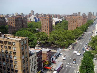
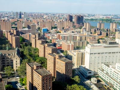
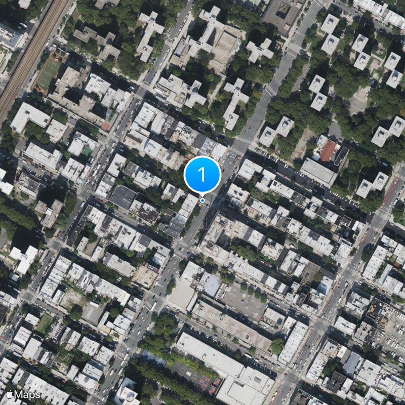
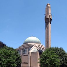
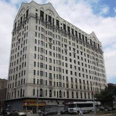
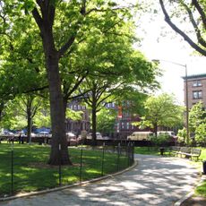
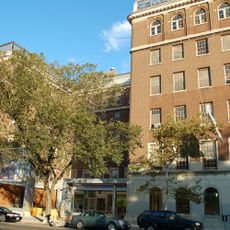
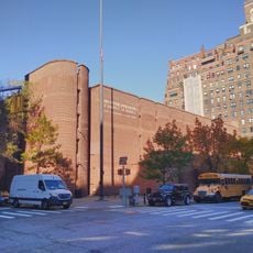
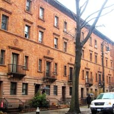
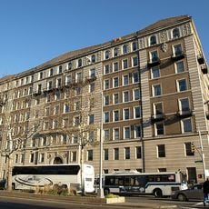
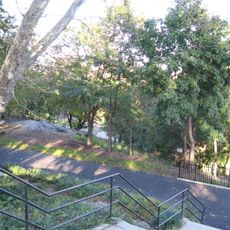
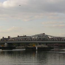
East Harlem sits in northern Manhattan between 96th Street and the Harlem River, running from Fifth Avenue to the East River. Low residential buildings alternate with brick structures, while shops line wide streets and parks offer green spaces between blocks.

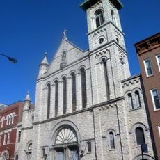
In the 1930s, Italian families made up much of the population, but after World War II, immigrants from Puerto Rico moved into the area in large numbers. This shift shaped the neighborhood over decades and gave it the name Spanish Harlem.

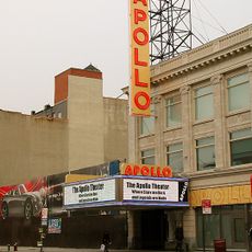
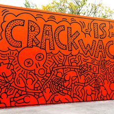
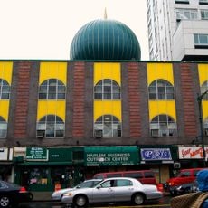
The neighborhood draws on Latin American traditions visible in small shops selling handmade goods from the Caribbean, Mexico, and Central America. On weekends, streets fill with families meeting in parks, speaking Spanish, and listening to music that drifts from open windows.

Several subway lines run through the area, offering quick connections to other parts of the city, while local buses travel between main streets. On 116th Street, larger stores and a shopping center stay open daily, making errands easier.

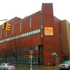
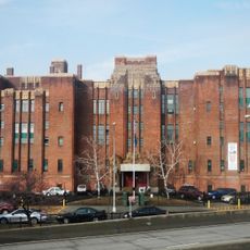
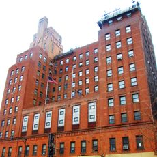
This area holds the second largest concentration of public housing in the United States after Brownsville in Brooklyn. These housing complexes shape large parts of the streetscape and show an example of 20th-century housing policy.

The community of curious travelers

AroundUs brings together thousands of curated places, local tips, and hidden gems, enriched daily by 60,000 contributors worldwide.

Start exploring
Location
GPS coordinates
40.79472,-73.94250
Latest update
March 5, 2026 21:06
Around this place
Apollo Theater
United States of America

Apollo Theater

1.8 km
Crack Is Wack
United States of America

Crack Is Wack

1.4 km
Museum of the City of New York
United States of America

Museum of the City of New York

829 m
Abyssinian Baptist Church
United States of America

Abyssinian Baptist Church

2.4 km
Schomburg Center for Research in Black Culture
United States of America

Schomburg Center for Research in Black Culture

2.2 km
Islamic Cultural Center of New York
United States of America

Islamic Cultural Center of New York

1.2 km
Hotel Theresa
United States of America

Hotel Theresa

1.7 km
Minton's Playhouse
United States of America

Minton's Playhouse

1.4 km
Marcus Garvey Park
United States of America

Marcus Garvey Park

1.1 km
El Museo del Barrio
United States of America

El Museo del Barrio

766 m
Hunter College Elementary School
United States of America

Hunter College Elementary School

1.4 km
Mosque No. 7
United States of America

Mosque No. 7

1 km
St. Nicholas Historic District
United States of America

St. Nicholas Historic District

2.6 km
Studio Museum in Harlem
United States of America

Studio Museum in Harlem

1.6 km
Graham Court
United States of America

Graham Court

1.3 km
St. Nicholas Park
United States of America

St. Nicholas Park

2.6 km
Atlah Worldwide Church
United States of America

Atlah Worldwide Church

1.3 km
Wards Island Bridge
United States of America

Wards Island Bridge

1 km
Willis Avenue Bridge
United States of America

Willis Avenue Bridge

1.5 km
Conservatory Garden
United States of America

Conservatory Garden

832 m
Adam Clayton Powell Jr. State Office Building
United States of America

Adam Clayton Powell Jr. State Office Building

1.7 km
Madison Avenue Bridge
United States of America

Madison Avenue Bridge

2.3 km
Third Avenue Bridge
United States of America

Third Avenue Bridge

1.7 km
Church of Our Lady of Mt. Carmel
United States of America

Church of Our Lady of Mt. Carmel

716 m
United States of America

Mount Morris Park Historic District

1.2 km
369th Regiment Armory
United States of America

369th Regiment Armory

2.6 km
Squadron A Armory
United States of America

Squadron A Armory

1.4 km
Harlem YMCA
United States of America

Harlem YMCA

2.2 km
Show the full map
Reviews
Share your experience

No review yet

Discussions
Start a discussion...

No discussion yet

« East Harlem - Residential neighborhood in Upper Manhattan, United States » is provided by Around Us (aroundus.com). Images and texts are derived from Wikimedia project under a Creative Commons license. You are allowed to copy, distribute, and modify copies of this page, under the conditions set by the license, as long as this note is clearly visible.

Discover hidden gems everywhere you go!

From secret cafés to breathtaking viewpoints, skip the crowded tourist spots and find places that match your style. Our app makes it easy with voice search, smart filtering, route optimization, and insider tips from travelers worldwide. Download now for the complete mobile experience.

Around Us App Screenshot

A unique approach to discovering new places

Le Figaro

All the places worth exploring

France Info

A tailor-made excursion in just a few clicks

20 Minutes

Around Us
Travel Guide & Maps
Download

Send to your phone

QR Code
1

Open the camera app on your mobile.

2

Point at the QR code with your camera. A notification will appear.

3

Tap the notification to open the link.