·

Enable Location

We need your location to show you interesting places around you

Discover nearby places

Find interesting locations and hidden gems around you

Precise directions

Get accurate directions and distances to places

Your location is never shared with other users. It's only used when you tap the location button.

Radnor Township

Log in to your account

Start exploring — it's free

Trusted by 62,747 travelers worldwide

Continue with Google
Continue with Apple
or

We will send you a code to connect

By continuing, you accept our Terms and Conditions and our Privacy Policy

Check your inbox

We've sent a pincode in your inbox. Please enter the code below.

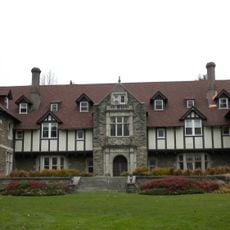
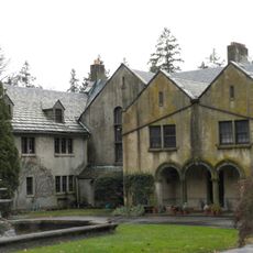
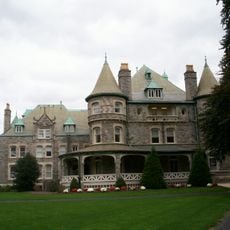
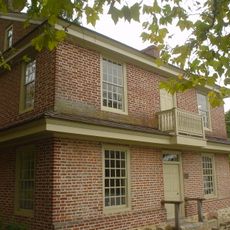
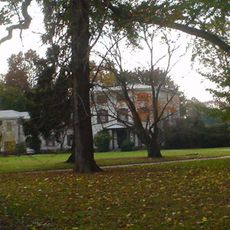
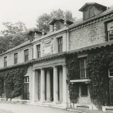
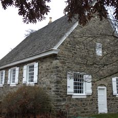
Radnor Township, Administrative division in Delaware County, Pennsylvania, US

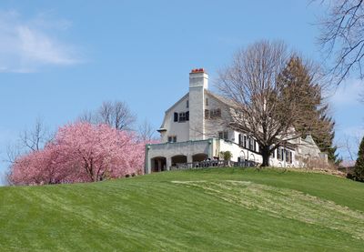
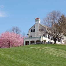
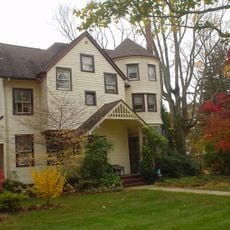
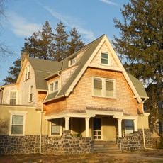
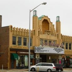
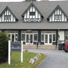
Radnor Township is an administrative division in Delaware County that spreads across residential neighborhoods and commercial areas, encompassing several communities. Wayne serves as the business hub, hosting shops, services, and public facilities that anchor the region.

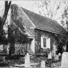
The area was founded in 1682 as part of the Welsh tract, when William Penn set aside 40,000 acres for Welsh settlers. This early establishment shaped the development and cultural identity of the entire region.

The Welsh origin shows through many street names and neighborhoods called after places in Wales, keeping alive the mark of the first settlers who came here.

Schools in the district serve students from elementary through high school age groups. Visitors will find good infrastructure, clear streets, and easy access to facilities in and around Wayne.

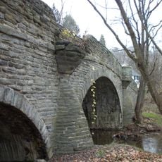
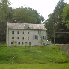
The Philadelphia and Lancaster Turnpike, built in 1794, was the first toll road in the United States and ran through this area. This road played a key role in the early development of America's transportation system.

The community of curious travelers

AroundUs brings together thousands of curated places, local tips, and hidden gems, enriched daily by 60,000 contributors worldwide.

Start exploring
Location
Inception
1682
Founders
William Penn
Shares border with
Haverford
GPS coordinates
40.03640,-75.37250
Latest update
December 20, 2025 14:17
Around this place
Chanticleer Garden
United States of America

Chanticleer Garden

1.7 km
Chanticleer Garden
United States of America

Chanticleer Garden

1.4 km
Church of the Good Shepherd
United States of America

Church of the Good Shepherd

4.3 km
St. David's Episcopal Church
United States of America

St. David's Episcopal Church

2.9 km
St. Thomas of Villanova Church
United States of America

St. Thomas of Villanova Church

3 km
United States of America

Stoneleigh: A Natural Garden

2.8 km
Woodcrest
United States of America

Woodcrest

2 km
Arboretum Villanova
United States of America

Arboretum Villanova

2.5 km
Allgates
United States of America

Allgates

5.8 km
Joseph Sinnott Mansion
United States of America

Joseph Sinnott Mansion

3.7 km
Square Tavern
United States of America

Square Tavern

5.4 km
Glenays
United States of America

Glenays

4.5 km
Camp-Woods
United States of America

Camp-Woods

1.9 km
Radnor Friends Meetinghouse
United States of America

Radnor Friends Meetinghouse

973 m
United States of America

Newtown Square Friends Meeting House

5.7 km
North Wayne Historic District
United States of America

North Wayne Historic District

1.9 km
Bridge in Radnor Township No. 1
United States of America

Bridge in Radnor Township No. 1

3.7 km
South Wayne Historic District
United States of America

South Wayne Historic District

961 m
Old Eagle School
United States of America

Old Eagle School

3.1 km
Downtown Wayne Historic District
United States of America

Downtown Wayne Historic District

1.4 km
Bridge in Radnor Township No. 2
United States of America

Bridge in Radnor Township No. 2

3.7 km
Appleford/Parsons-Banks Arboretum
United States of America

Appleford/Parsons-Banks Arboretum

4.4 km
United States of America

Bradstreet Observatory

1.6 km
Cramond
United States of America

Cramond

3.1 km
United States of America

American College Arboretum

4.4 km
Saturday Club
United States of America

Saturday Club

1.6 km
United States of America

Cobble Court

6.1 km
Crosley–Garrett Mill Workers' Housing, Store, and Mill Site
United States of America

Crosley–Garrett Mill Workers' Housing, Store, and Mill Site

3.3 km
Show the full map
« Radnor Township - Administrative division in Delaware County, Pennsylvania, US » is provided by Around Us (aroundus.com). Images and texts are derived from Wikimedia project under a Creative Commons license. You are allowed to copy, distribute, and modify copies of this page, under the conditions set by the license, as long as this note is clearly visible.

Discover hidden gems everywhere you go!

From secret cafés to breathtaking viewpoints, skip the crowded tourist spots and find places that match your style. Our app makes it easy with voice search, smart filtering, route optimization, and insider tips from travelers worldwide. Download now for the complete mobile experience.

Around Us App Screenshot

A unique approach to discovering new places

Le Figaro

All the places worth exploring

France Info

A tailor-made excursion in just a few clicks

20 Minutes

Around Us
Travel Guide & Maps
Download

Send to your phone

QR Code
1

Open the camera app on your mobile.

2

Point at the QR code with your camera. A notification will appear.

3

Tap the notification to open the link.