Enable Location

We need your location to show you interesting places around you

Discover nearby places

Find interesting locations and hidden gems around you

Precise directions

Get accurate directions and distances to places

Your location is never shared with other users. It's only used when you tap the location button.

Occoquan

Log in to your account

Start exploring — it's free

Trusted by 65,186 travelers worldwide

Continue with Google
Continue with Apple
or

We will send you a code to connect

By continuing, you accept our Terms and Conditions and our Privacy Policy

Check your inbox

We've sent a pincode in your inbox. Please enter the code below.

Discussion Reviews 1 Photos
18.1k Popularity

Occoquan, town in Virginia, United States

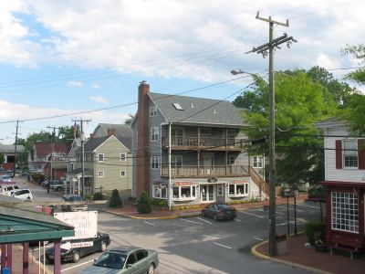
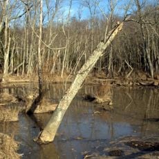
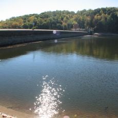
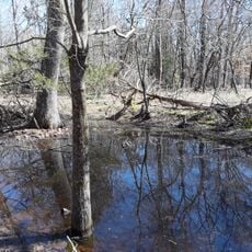
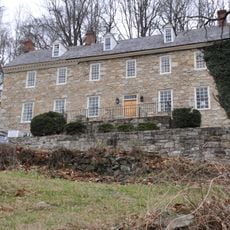
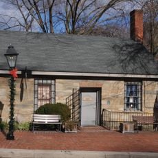
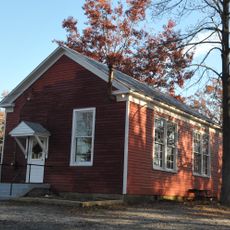
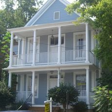
Occoquan is a small town in Prince William County, Virginia, sitting along the Occoquan River at the point where it meets tidal water. Its compact historic center is made up of 19th-century brick and wood buildings that now house galleries, restaurants, and small shops along a few walkable streets.

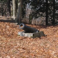
Long before the town was formally founded in 1804, the river served the Doeg people as a trade route and later drew European settlers who built mills and warehouses along its banks. By the 18th century the site had grown into a working port, making it one of the more active commercial points in the region.

The name Occoquan comes from a Doeg Algonquian word meaning roughly "at the end of the water". Today the streets hold a mix of galleries and small shops where local artists display handmade goods, keeping a craft tradition that has shaped the town for generations.

The town sits about 20 miles (32 km) south of Washington, DC, and is most easily reached by car, with parking available near the shops and along the main streets. The historic center is small enough to cover entirely on foot, so comfortable shoes are all you need.

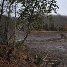
A mill built by Quaker Nathaniel Ellicott in the 18th century is believed to have been one of the first automated grist mills in the country, running with minimal human labor. It operated for over a century before a fire destroyed it, leaving almost no trace behind in today's streetscape.

The community of curious travelers

AroundUs brings together thousands of curated places, local tips, and hidden gems, enriched daily by 60,000 contributors worldwide.

Start exploring
Inception
1765
Elevation above the sea
2 m
GPS coordinates
38.68280,-77.26080
Latest update
March 3, 2026 08:23
Around this place
Lorton Reformatory
United States of America

Lorton Reformatory

1.8 km
Gunston Hall
United States of America

Gunston Hall

9 km
Leesylvania State Park
United States of America

Leesylvania State Park

10.3 km
Mason Neck State Park
United States of America

Mason Neck State Park

6.9 km
Bel Air
United States of America

Bel Air

10 km
Burke Lake
United States of America

Burke Lake

8.6 km
Burke Lake Park
United States of America

Burke Lake Park

8.6 km
Fountainhead Regional Park
United States of America

Fountainhead Regional Park

7.2 km
Occoquan Bay National Wildlife Refuge
United States of America

Occoquan Bay National Wildlife Refuge

4.8 km
Workhouse Arts Center
United States of America

Workhouse Arts Center

1.8 km
Occoquan Reservoir
United States of America

Occoquan Reservoir

1.9 km
Accotink Creek
United States of America

Accotink Creek

7 km
Elizabeth Hartwell Mason Neck National Wildlife Refuge
United States of America

Elizabeth Hartwell Mason Neck National Wildlife Refuge

10.4 km
Featherstone National Wildlife Refuge
United States of America

Featherstone National Wildlife Refuge

9.8 km
Pohick Bay Regional Park
United States of America

Pohick Bay Regional Park

6.1 km
Lexington
United States of America

Lexington

6.9 km
Durga Temple of Virginia
United States of America

Durga Temple of Virginia

5.2 km
Accotink Bay Wildlife Refuge
United States of America

Accotink Bay Wildlife Refuge

9.4 km
Rockledge
United States of America

Rockledge

300 m
Occoquan Regional Park
United States of America

Occoquan Regional Park

775 m
Freestone Point Confederate Battery
United States of America

Freestone Point Confederate Battery

10.1 km
National Museum of the United States Army
United States of America

National Museum of the United States Army

9 km
Occoquan Historic District
United States of America

Occoquan Historic District

140 m
Sydenstricker School
United States of America

Sydenstricker School

8.3 km
Taft Archeological Site No. 029-5411
United States of America

Taft Archeological Site No. 029-5411

6.9 km
Odd Fellows Hall
United States of America

Odd Fellows Hall

118 m
Lorton Community Library
United States of America

Lorton Community Library

4.5 km
Kingstowne Community Library
United States of America

Kingstowne Community Library

10.5 km
Show the full map
Reviews
Share your experience

No review yet

Discussions
Start a discussion...

No discussion yet

« Occoquan - town in Virginia, United States » is provided by Around Us (aroundus.com). Images and texts are derived from Wikimedia project under a Creative Commons license. You are allowed to copy, distribute, and modify copies of this page, under the conditions set by the license, as long as this note is clearly visible.

Discover hidden gems everywhere you go!

From secret cafés to breathtaking viewpoints, skip the crowded tourist spots and find places that match your style. Our app makes it easy with voice search, smart filtering, route optimization, and insider tips from travelers worldwide. Download now for the complete mobile experience.

Around Us App Screenshot

A unique approach to discovering new places

Le Figaro

All the places worth exploring

France Info

A tailor-made excursion in just a few clicks

20 Minutes

Around Us
Travel Guide & Maps
Download

Send to your phone

QR Code
1

Open the camera app on your mobile.

2

Point at the QR code with your camera. A notification will appear.

3

Tap the notification to open the link.