Enable Location

We need your location to show you interesting places around you

Discover nearby places

Find interesting locations and hidden gems around you

Precise directions

Get accurate directions and distances to places

Your location is never shared with other users. It's only used when you tap the location button.

Hoosick Falls Historic District

Log in to your account

Start exploring — it's free

Trusted by 62,418 travelers worldwide

Continue with Google
Continue with Apple
or

We will send you a code to connect

By continuing, you accept our Terms and Conditions and our Privacy Policy

Check your inbox

We've sent a pincode in your inbox. Please enter the code below.

Hoosick Falls Historic District, historic district in the United States

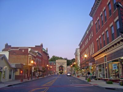
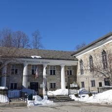
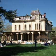
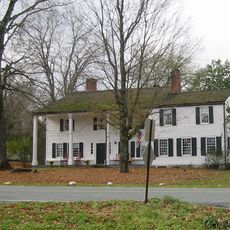
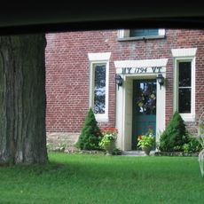
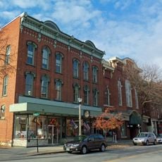
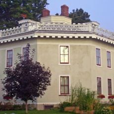
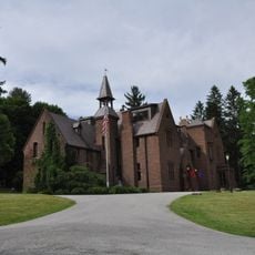
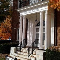
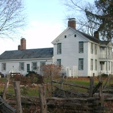
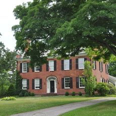
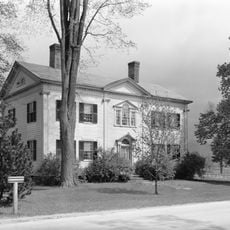
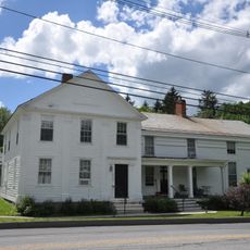
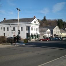
Hoosick Falls Historic District is an eight-acre area in the village center covering mostly Church, Classic, and John streets. The brick and wood buildings from the late 1800s and early 1900s display Italianate and Second Empire styles, with multi-story structures that once served as shops, offices, and small factories.

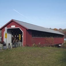
Settlers from Connecticut founded the village in the 1740s, building a mill and bridge. After official incorporation in 1827, textile mills followed by the Walter A. Wood machinery company drove rapid industrial growth that peaked in the late 1800s, then declined after 1924.

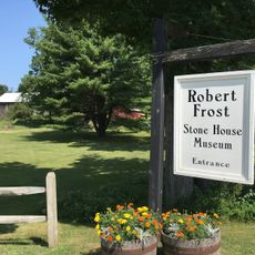
The district was home to artists like painter Grandma Moses, whose work captured everyday rural life and gained international recognition. The murals on buildings and the creative legacy show how art has been woven into the community's identity.

The district spreads south of the Hoosick River in an upside-down L shape, with the post office area on Church Street being a good starting point. The streets are easily walkable, and the original buildings help you navigate through different periods of the town's growth.

The village is known for Grandma Moses, a late-life painter whose folk art was discovered in a local pharmacy, yet few realize that a Teflon factory later released chemicals into the water. The community's vigilant response to clean up the water and build new wells shows how local activism protected public health.

The community of curious travelers

AroundUs brings together thousands of curated places, local tips, and hidden gems, enriched daily by 60,000 contributors worldwide.

Start exploring
Location
Address
Central Avenue and Main Street
GPS coordinates
42.90139,-73.35083
Latest update
February 9, 2026 07:41
Around this place
Bennington Battle Monument
United States of America

Bennington Battle Monument

11.1 km
Buskirk Bridge
United States of America

Buskirk Bridge

9.2 km
Bennington Battlefield State Historic Site
United States of America

Bennington Battlefield State Historic Site

5.8 km
Catamount Tavern
United States of America

Catamount Tavern

11.3 km
Bennington Historical Museum
United States of America

Bennington Historical Museum

11.7 km
Park-McCullough Historic House
United States of America

Park-McCullough Historic House

9 km
Silk Covered Bridge
United States of America

Silk Covered Bridge

10.2 km
Burt Henry Covered Bridge
United States of America

Burt Henry Covered Bridge

7.9 km
Paper Mill Village Bridge
United States of America

Paper Mill Village Bridge

9.6 km
Henry House
United States of America

Henry House

7.8 km
David Mathews House
United States of America

David Mathews House

7.6 km
Downtown Bennington Historic District
United States of America

Downtown Bennington Historic District

12.8 km
Estabrook Octagon House
United States of America

Estabrook Octagon House

585 m
Dickinson Hill Fire Tower
United States of America

Dickinson Hill Fire Tower

13 km
Tibbits House
United States of America

Tibbits House

4.9 km
One World Conservation Center
United States of America

One World Conservation Center

13.2 km
McCullough Free Library
United States of America

McCullough Free Library

9.2 km
White Creek Historic District
United States of America

White Creek Historic District

9.3 km
Breese-Reynolds House
United States of America

Breese-Reynolds House

5.3 km
Frederick Squire House
United States of America

Frederick Squire House

12.9 km
Munro-Hawkins House
United States of America

Munro-Hawkins House

13.1 km
Holden-Leonard Workers Housing Historic District
United States of America

Holden-Leonard Workers Housing Historic District

12.3 km
Pratt-McDaniels-LaFlamme House
United States of America

Pratt-McDaniels-LaFlamme House

12.9 km
School Street Duplexes
United States of America

School Street Duplexes

12.9 km
Dutchman's Tavern
United States of America

Dutchman's Tavern

12.6 km
Robert Frost Stone House Museum at Bennington College
United States of America

Robert Frost Stone House Museum at Bennington College

12.1 km
North Bennington Historic District
United States of America

North Bennington Historic District

9.4 km
The Orchards
United States of America

The Orchards

11.2 km
Show the full map
« Hoosick Falls Historic District - historic district in the United States » is provided by Around Us (aroundus.com). Images and texts are derived from Wikimedia project under a Creative Commons license. You are allowed to copy, distribute, and modify copies of this page, under the conditions set by the license, as long as this note is clearly visible.

Discover hidden gems everywhere you go!

From secret cafés to breathtaking viewpoints, skip the crowded tourist spots and find places that match your style. Our app makes it easy with voice search, smart filtering, route optimization, and insider tips from travelers worldwide. Download now for the complete mobile experience.

Around Us App Screenshot

A unique approach to discovering new places

Le Figaro

All the places worth exploring

France Info

A tailor-made excursion in just a few clicks

20 Minutes

Around Us
Travel Guide & Maps
Download

Send to your phone

QR Code
1

Open the camera app on your mobile.

2

Point at the QR code with your camera. A notification will appear.

3

Tap the notification to open the link.