Chest opened
+${chestReward.xp} XP
Explorer
NOUVEAU ×${chestReward.collectible.quantity}
tapez pour fermer
Chest locked

Open chests in the app

Around Us is built for your phone — chests unlock when you walk, explore and capture nearby places.

Enable Location

We need your location to show you interesting places around you

Discover nearby places

Find interesting locations and hidden gems around you

Precise directions

Get accurate directions and distances to places

Your location is never shared with other users. It's only used when you tap the location button.

Harkers Island

Log in to your account

Start exploring — it's free

Trusted by 72,989 travelers worldwide

Continue with Google
Continue with Apple
or

We will send you a code to connect

By continuing, you accept our Terms and Conditions and our Privacy Policy

Check your inbox

We've sent a pincode in your inbox. Please enter the code below.

Discussion Reviews 1 Photos
17.2k Popularity

Harkers Island, Coastal community in Carteret County, North Carolina.

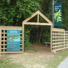
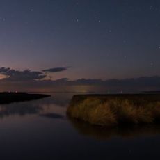
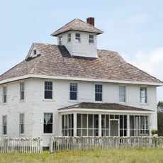
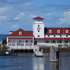
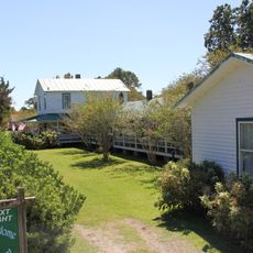
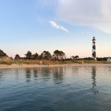
Harkers Island is a coastal settlement in Carteret County that extends across land and water, home to around 1,100 residents. The island is defined by waterways and marshes that shape how people live and work here.

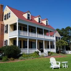
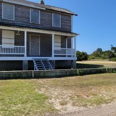
Ebenezer Harker acquired the island in 1730 and established a plantation and boat yard that shaped early settlement patterns. This foundation led to the community taking his name and developing its maritime character.

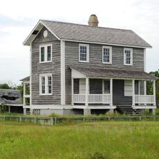
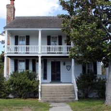
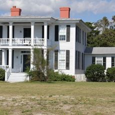
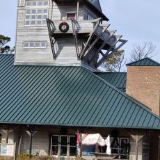
Fishing, boat building, and seafood processing remain central to daily life here, with local families passing down their maritime skills through generations. These practices define the character and identity of the community.

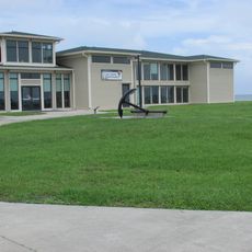
The island is best reached by car, with road access via a bridge connecting it to the mainland. Services here are managed by a local cooperative that handles power and water for residents, so plan accordingly if you need utilities.

Residents here speak a distinct English dialect shaped by centuries of isolation and maritime heritage unique to this coastal region. This local speech pattern remains a living reminder of the island's separate history.

The community of curious travelers

AroundUs brings together thousands of curated places, local tips, and hidden gems, enriched daily by 60,000 contributors worldwide.

Start exploring
Location
Elevation above the sea
3 m
GPS coordinates
34.69444,-76.55528
Latest update
December 7, 2025 19:25
Around this place
Fort Macon State Park
United States of America

Fort Macon State Park

12.2 km
Cape Lookout Lighthouse
United States of America

Cape Lookout Lighthouse

8.5 km
Cape Lookout National Seashore
United States of America

Cape Lookout National Seashore

24.7 km
SMS Geier

SMS Geier

56.7 km
North Carolina Maritime Museum
United States of America

North Carolina Maritime Museum

10.5 km
United States of America

Neusiok Trail

26.2 km
Theodore Roosevelt State Natural Area
United States of America

Theodore Roosevelt State Natural Area

25.4 km
Cape Lookout Village Historic District
United States of America

Cape Lookout Village Historic District

9.8 km
Cedar Island National Wildlife Refuge
United States of America

Cedar Island National Wildlife Refuge

38 km
China Grove
United States of America

China Grove

46.1 km
Cape Lookout Coast Guard Station
United States of America

Cape Lookout Coast Guard Station

10.3 km
Ocracoke Historic District
United States of America

Ocracoke Historic District

61 km
Beaufort Historic District
United States of America

Beaufort Historic District

10.6 km
Morehead City Historic District
United States of America

Morehead City Historic District

14.9 km
Jacob Henry House
United States of America

Jacob Henry House

10.6 km
Gibbs House
United States of America

Gibbs House

9.8 km
Morehead City Municipal Building
United States of America

Morehead City Municipal Building

14.7 km
Carteret County Home
United States of America

Carteret County Home

9.4 km
Core Sound Waterfowl Museum
United States of America

Core Sound Waterfowl Museum

2.6 km
Cape Lookout Visitor's Center
United States of America

Cape Lookout Visitor's Center

2.8 km
Keepers' Quarters Museum
United States of America

Keepers' Quarters Museum

8.4 km
Beaufort Historic Site
United States of America

Beaufort Historic Site

10.4 km
Havelock Tourist & Event Center
United States of America

Havelock Tourist & Event Center

40.4 km
Harkers Island Visitor Center
United States of America

Harkers Island Visitor Center

2.8 km
History Museum of Carteret County
United States of America

History Museum of Carteret County

15.1 km
Cape Lookout Lighthouse
United States of America

Cape Lookout Lighthouse

8.5 km
Fort Macon
United States of America

Fort Macon

11.4 km
Light Station Visitor Center
United States of America

Light Station Visitor Center

8.4 km
Show the full map
Reviews
Share your experience

No review yet

Discussions
Start a discussion...

No discussion yet

« Harkers Island - Coastal community in Carteret County, North Carolina » is provided by Around Us (aroundus.com). Images and texts are derived from Wikimedia project under a Creative Commons license. You are allowed to copy, distribute, and modify copies of this page, under the conditions set by the license, as long as this note is clearly visible.

Discover hidden gems everywhere you go!

From secret cafés to breathtaking viewpoints, skip the crowded tourist spots and find places that match your style. Our app makes it easy with voice search, smart filtering, route optimization, and insider tips from travelers worldwide. Download now for the complete mobile experience.

Around Us App Screenshot

A unique approach to discovering new places

Le Figaro

All the places worth exploring

France Info

A tailor-made excursion in just a few clicks

20 Minutes

Around Us
Travel Guide & Maps
Download

Send to your phone

QR Code
1

Open the camera app on your mobile.

2

Point at the QR code with your camera. A notification will appear.

3

Tap the notification to open the link.