
Royalston, town in Massachusetts
Location: Worcester County
Elevation above the sea: 309 m
Website: http://www.royalston-ma.gov/
Website: http://royalston-ma.gov
GPS coordinates: 42.67750,-72.18833
Latest update: March 23, 2025 06:00
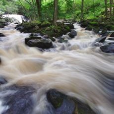
Doane's Falls
3.4 km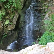
Royalston Falls
6.3 km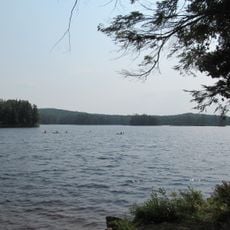
Tully Lake
4.3 km
Tully Mountain
6 km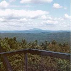
Mount Grace
13.7 km
Rhododendron State Park
11.9 km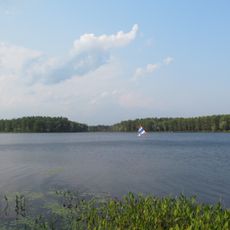
Lake Dennison Recreation Area
10.7 km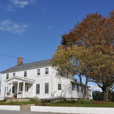
Templeton Developmental Center
10.4 km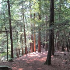
Jacobs Hill
1.2 km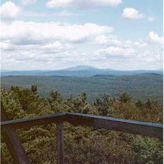
Mount Grace State Forest
13.1 km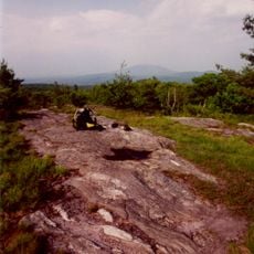
Little Monadnock Mountain
12.5 km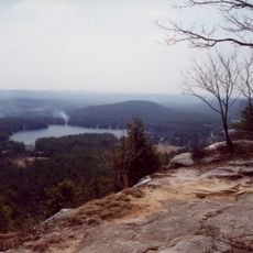
Tully Trail
3.5 km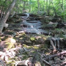
Spirit Falls
1.7 km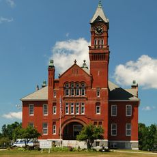
Murdock School
11 km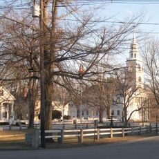
Third Fitzwilliam Meetinghouse
11.9 km
Mount Grace Land Conservation Trust
6.6 km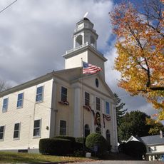
Old Town Hall
9.8 km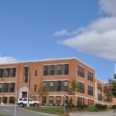
Old Athol High School
9.6 km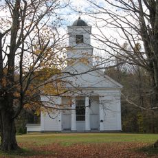
Old Centre Historic District
12.3 km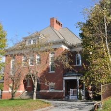
Baldwinville Village Historic District
12.2 km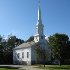
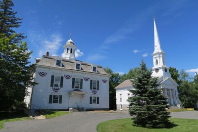
Royalston Common Historic District
0 m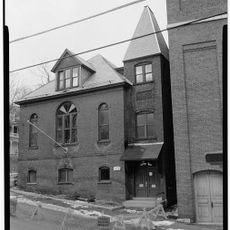
Grand Army of the Republic Hall
13.8 km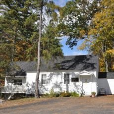
Richmond School House No. 6
11.2 km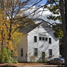
Richmond Town Hall
11.6 km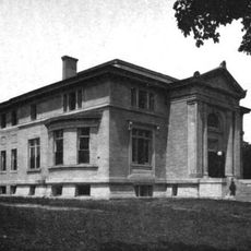
Winchendon Village Historic District
11.3 km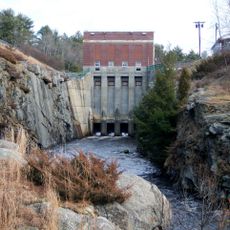
Birch Hill Dam
7.5 km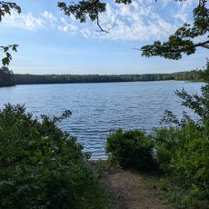
Lake Dennison Picnic & Swim Area
9.2 km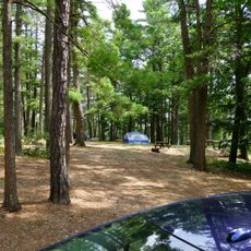
North Camping Area Beach
8.8 kmReviews
Visited this place? Tap the stars to rate it and share your experience / photos with the community! Try now! You can cancel it anytime.
Discover hidden gems everywhere you go!
From secret cafés to breathtaking viewpoints, skip the crowded tourist spots and find places that match your style. Our app makes it easy with voice search, smart filtering, route optimization, and insider tips from travelers worldwide. Download now for the complete mobile experience.

A unique approach to discovering new places❞
— Le Figaro
All the places worth exploring❞
— France Info
A tailor-made excursion in just a few clicks❞
— 20 Minutes