Chest opened
+${chestReward.xp} XP
Explorer
NOUVEAU ×${chestReward.collectible.quantity}
tapez pour fermer

See the monuments around you in AR Open chests in the app

Around Us is built for your phone — point your camera at the streets and discover the monuments and places around you in augmented reality. Around Us is built for your phone — chests unlock when you walk, explore and capture nearby places.

Enable Location

We need your location to show you interesting places around you

Discover nearby places

Find interesting locations and hidden gems around you

Precise directions

Get accurate directions and distances to places

Your location is never shared with other users. It's only used when you tap the location button.

West End

Log in to your account

Start exploring — it's free

Trusted by 86,349 travelers worldwide

Continue with Google
Continue with Apple
or

We will send you a code to connect

By continuing, you accept our Terms and Conditions and our Privacy Policy

Check your inbox

We've sent a pincode in your inbox. Please enter the code below.

Discussion Reviews 1 Photos
1.3k Popularity

West End, Residential district in Boston, US

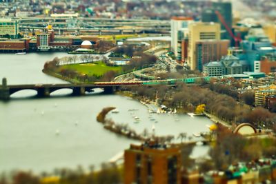
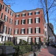
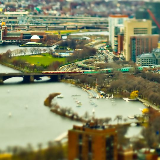
West End is a residential neighborhood in Boston situated between Cambridge Street and the Charles River. It combines apartment buildings with the Massachusetts General Hospital and commercial spaces that form the core of this urban area.

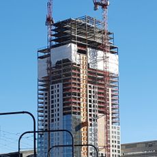
The neighborhood developed as a densely packed residential area for immigrant families, but urban renewal in the 1950s completely transformed its structure. This major development replaced older buildings with modern construction and fundamentally changed how the area was organized.

Immigrant families from Ireland, Italy, and Eastern Europe once made this neighborhood home and created vibrant communities here. Their traditions shaped the local character through family-run shops, gathering places, and street life that defined the area for generations.

The area connects to four subway lines, making it easy to reach other parts of Boston. The streets are walkable and well-organized, so visitors can move around on foot without difficulty.

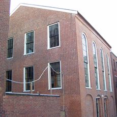
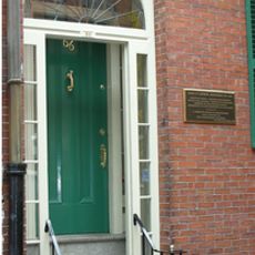
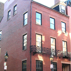
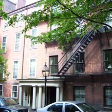
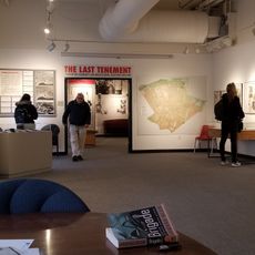
The tenement building at 42 Lomasney Way survived from before the urban renewal period and remains as a rare physical reminder. This structure stands as a connection to how people lived in the neighborhood decades earlier.

The community of curious travelers

AroundUs brings together thousands of curated places, local tips, and hidden gems, enriched daily by 60,000 contributors worldwide.
Start exploring
Location
Location
Shares border with
Charlestown
GPS coordinates
42.36318,-71.07000
Latest update
September 12, 2026 06:38
Around this place
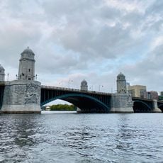
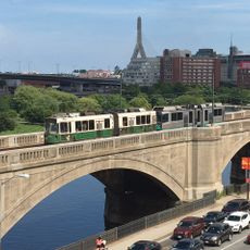
Longfellow Bridge
United States of America

Longfellow Bridge

0.3 mi
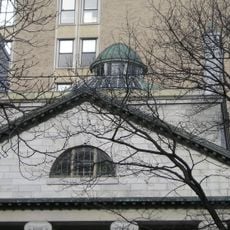
Ether Dome
United States of America

Ether Dome

0.1 mi
Charles Street Jail
United States of America

Charles Street Jail

460 ft
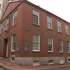
African Meeting House
United States of America

African Meeting House

0.3 mi
Avalon North Station
United States of America

Avalon North Station

0.4 mi
The Club of Odd Volumes
United States of America

The Club of Odd Volumes

0.4 mi
Harrison Gray Otis House II
United States of America

Harrison Gray Otis House II

0.4 mi
Lechmere Viaduct
United States of America

Lechmere Viaduct

0.3 mi
Thomas P. O'Neill Jr. Federal Building
United States of America

Thomas P. O'Neill Jr. Federal Building

0.4 mi
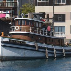
Luna
United States of America

Luna

0.4 mi
Abiel Smith School
United States of America

Abiel Smith School

0.3 mi
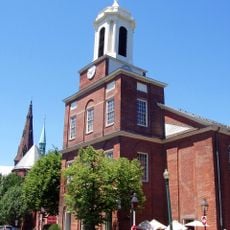
Charles Street Meeting House
United States of America

Charles Street Meeting House

0.4 mi
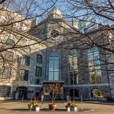
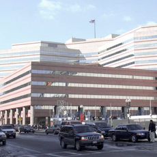
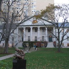
Massachusetts General Hospital, Bulfinch Building
United States of America

Massachusetts General Hospital, Bulfinch Building

310 ft
First Harrison Gray Otis House
United States of America

First Harrison Gray Otis House

0.3 mi
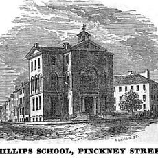
Phillips School
United States of America

Phillips School

0.3 mi
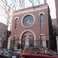
Vilna Shul
United States of America

Vilna Shul

0.3 mi
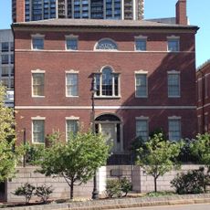
Lewis and Harriet Hayden House
United States of America

Lewis and Harriet Hayden House

0.2 mi
Nichols House Museum
United States of America

Nichols House Museum

0.4 mi
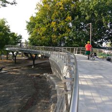
Frances Appleton Bridge
United States of America

Frances Appleton Bridge

0.2 mi
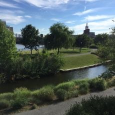
North Point Park
United States of America

North Point Park

0.4 mi
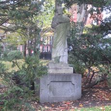
Statue of Aristides
United States of America

Statue of Aristides

0.4 mi
John Coburn House
United States of America

John Coburn House

0.3 mi
John J. Smith House
United States of America

John J. Smith House

0.3 mi
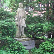
Statue of Christopher Columbus
United States of America

Statue of Christopher Columbus

0.3 mi
Charles Sumner House
United States of America

Charles Sumner House

0.3 mi
West End Museum
United States of America

West End Museum

0.3 mi
Charles Eliot Memorial
United States of America

Charles Eliot Memorial

0.3 mi
Peter Faneuil School
United States of America

Peter Faneuil School

0.3 mi
Show the full map
Reviews
Share your experience

No review yet

Discussions
Start a discussion...

No discussion yet

« West End - Residential district in Boston, US » is provided by Around Us (aroundus.com). Images and texts are derived from Wikimedia project under a Creative Commons license. You are allowed to copy, distribute, and modify copies of this page, under the conditions set by the license, as long as this note is clearly visible.

Discover hidden gems everywhere you go!

From secret cafés to breathtaking viewpoints, skip the crowded tourist spots and find places that match your style. Our app makes it easy with voice search, smart filtering, route optimization, and insider tips from travelers worldwide. Download now for the complete mobile experience.
Around Us App Screenshot

A unique approach to discovering new places

Le Figaro

All the places worth exploring

France Info

A tailor-made excursion in just a few clicks

20 Minutes

Around Us
Travel Guide & Maps
Download

Send to your phone

QR Code
1

Open the camera app on your mobile.

2

Point at the QR code with your camera. A notification will appear.

3

Tap the notification to open the link.