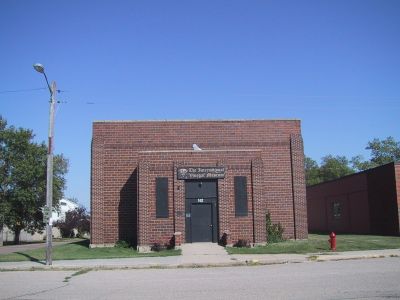
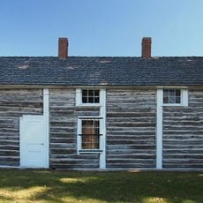
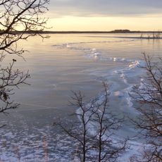
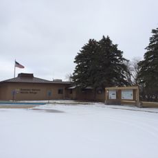
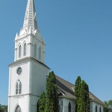
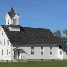
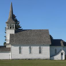
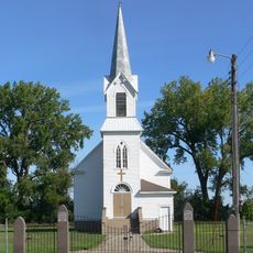
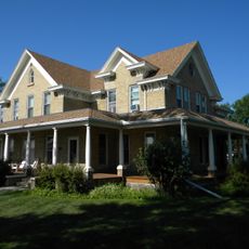
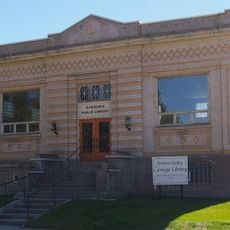
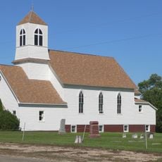
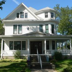
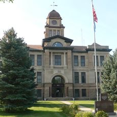
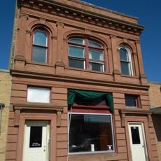
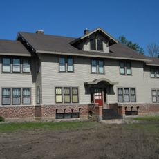
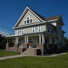
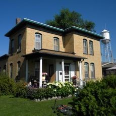
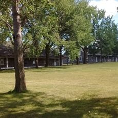
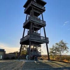
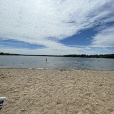
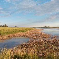
Roslyn, town in Day County, South Dakota, United States
Location: Day County
Elevation above the sea: 568 m
GPS coordinates: 45.49639,-97.49083
Latest update: March 2, 2025 23:35
International Vinegar Museum
53 m
Fort Sisseton
18.2 km
Sand Lake National Wildlife Refuge
66.8 km
Sam Brown Memorial State Wayside
51.9 km
Waubay National Wildlife Refuge
14.2 km
Tewaukon National Wildlife Refuge
57.1 km
Augustana Swedish Lutheran Church
41.4 km
Lebanon Lutheran Church
36.4 km
Zoar Norwegian Lutheran Church
20.3 km
Walla Lutheran Church
62.3 km
Lars J. Fiksdal House
18.5 km
Browns Valley Carnegie Library
52.6 km
Palestine Evangelical Lutheran Church
50.5 km
Roberts County Courthouse
39.4 km
Andrew and Mary Stavig House
38.8 km
Marshall County Courthouse
38.8 km
First National Bank
18.3 km
Waddel Mansion
18.4 km
John and Kittie Williams House
17.8 km
First Presbyterian Church of Langford
29.1 km
William Havens House
19 km
Anton and Mary Agnes Karpen House
18 km
Sisseton Carnegie Library
39.3 km
Sica Hollow State Park
34.2 km
Fort Sisseton Historic State Park
18.2 km
Nicollet Tower & Interpretive Center
33.2 km
West Pickerel Lake Recreation Area
16.2 km
Sand Lake National Wildlife Refuge
66.1 kmVisited this place? Tap the stars to rate it and share your experience / photos with the community! Try now! You can cancel it anytime.
Discover hidden gems everywhere you go!
From secret cafés to breathtaking viewpoints, skip the crowded tourist spots and find places that match your style. Our app makes it easy with voice search, smart filtering, route optimization, and insider tips from travelers worldwide. Download now for the complete mobile experience.
A unique approach to discovering new places❞
— Le Figaro
All the places worth exploring❞
— France Info
A tailor-made excursion in just a few clicks❞
— 20 Minutes