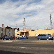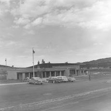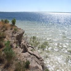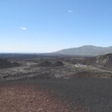
Chest opened
+${chestReward.xp} XP
Explorer
NOUVEAU ×${chestReward.collectible.quantity}
tapez pour fermer

See the monuments around you in AR Open chests in the app

Around Us is built for your phone — point your camera at the streets and discover the monuments and places around you in augmented reality. Around Us is built for your phone — chests unlock when you walk, explore and capture nearby places.

•

Enable Location

We need your location to show you interesting places around you

Discover nearby places

Find interesting locations and hidden gems around you

Precise directions

Get accurate directions and distances to places

Your location is never shared with other users. It's only used when you tap the location button.

Big Southern Butte

Log in to your account

Start exploring — it's free

Trusted by 89,868 travelers worldwide

Continue with Google
Continue with Apple
or

We will send you a code to connect

By continuing, you accept our Terms and Conditions and our Privacy Policy

Check your inbox

We've sent a pincode in your inbox. Please enter the code below.

Discussion Reviews 2 Photos
7.1k Popularity

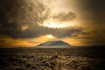
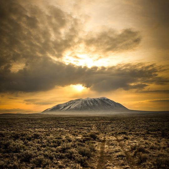
Big Southern Butte, National Natural Landmark mountain in Snake River Plain, Idaho.

Audio guide · About one minute
Preparing your audio guide… The audio guide could not be loaded, please retry.Sign in to listen to the audio guide

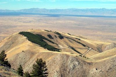
Big Southern Butte is a volcanic mountain that rises prominently from the Snake River Plain in southern Idaho. The formation displays a distinctive conical shape and is surrounded by sagebrush and forest patches typical of the high desert.

The mountain formed roughly 300,000 years ago from volcanic activity and represents one of Earth's largest rhyolitic domes. This geological feature records a significant chapter in the region's volcanic past.

The mountain served as a fire lookout station until 2004, when the Bureau of Land Management shifted focus to maintaining electronic installations.

Reaching the summit requires a substantial hike with significant elevation gain over several miles. Visitors should wear sturdy footwear and be prepared for exposed terrain and variable weather conditions.

The mountain supports a surprising forest community with pines, aspens, and shrubs surrounded by desert landscape. This biological island exists because higher elevation creates cooler conditions and greater moisture.

The community of curious travelers

AroundUs brings together thousands of curated places, local tips, and hidden gems, enriched daily by 60,000 contributors worldwide.

Start exploring
Location
GPS coordinates
43.40130,-113.02389
Latest update
September 17, 2026 07:10
Around this place
Craters of the Moon National Monument and Preserve
United States of America

Craters of the Moon National Monument and Preserve

25.7 mi
Fort Hall
United States of America

Fort Hall

32.9 mi
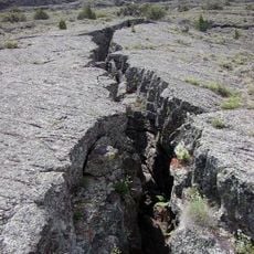
Hell's Half Acre Lava Field
United States of America

Hell's Half Acre Lava Field

29.6 mi
Arco Baptist Community Church
United States of America

Arco Baptist Community Church

21.4 mi
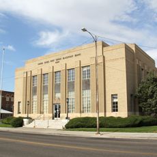
United States Post Office–Blackfoot Main
United States of America

United States Post Office–Blackfoot Main

37.1 mi
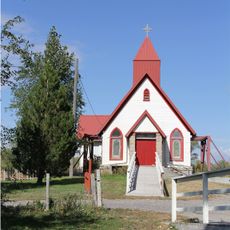
Ross Fork Episcopal Church
United States of America

Ross Fork Episcopal Church

37.2 mi
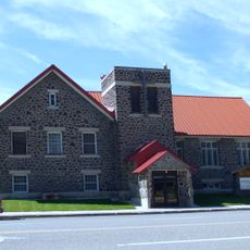
Blackfoot I.O.O.F. Hall
United States of America

Blackfoot I.O.O.F. Hall

37.2 mi
Craters of the Moon National Monument Mission 66 Historic District
United States of America

Craters of the Moon National Monument Mission 66 Historic District

27.3 mi
American Falls Reservoir
United States of America

American Falls Reservoir

35.6 mi
United States of America

Lava Point

33.3 mi
Craters of the Moon
United States of America

Craters of the Moon

24 mi
United States of America

Bronco Beach

36.4 mi
Robert Limbert Visitor Center
United States of America

Robert Limbert Visitor Center

27.3 mi
United States of America

Lava Trees

25.3 mi
United States of America

Bronco Beach

36.4 mi
United States of America

Snowdrift Crater

26.9 mi
United States of America

Bear Trap Cave

33.3 mi
United States of America

Bridge of the Moon

23 mi
United States of America

Bridge of Tears

20.6 mi
United States of America

Arco Rodeo Grounds

21.2 mi
United States of America

Natural Arch

23.9 mi
United States of America

Lava Point

33.3 mi
United States of America

Scenic Overlook Craters of the Moon

26.9 mi
United States of America

Scenic viewpoint

27 mi
United States of America

Big Sink Overlook

26.1 mi
United States of America

Inferno Cone Viewpoint

26.7 mi
United States of America

Scenic viewpoint

28.4 mi
United States of America

Scenic viewpoint

29 mi
Show the full map
Reviews
Share your experience

No review yet

Discussions
Start a discussion...

No discussion yet

« Big Southern Butte - National Natural Landmark mountain in Snake River Plain, Idaho » is provided by Around Us (aroundus.com). Images and texts are derived from Wikimedia project under a Creative Commons license. You are allowed to copy, distribute, and modify copies of this page, under the conditions set by the license, as long as this note is clearly visible.

Discover hidden gems everywhere you go!

From secret cafés to breathtaking viewpoints, skip the crowded tourist spots and find places that match your style. Our app makes it easy with voice search, smart filtering, route optimization, and insider tips from travelers worldwide. Download now for the complete mobile experience.

Around Us App Screenshot
❝

A unique approach to discovering new places❞

— Le Figaro

❝

All the places worth exploring❞

— France Info

❝

A tailor-made excursion in just a few clicks❞

— 20 Minutes

Around Us
Travel Guide & Maps
Download

Send to your phone

QR Code
1

Open the camera app on your mobile.

2

Point at the QR code with your camera. A notification will appear.

3

Tap the notification to open the link.