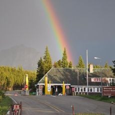
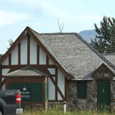
Chief Mountain Border Station and Quarters, gebouw in Alberta, Canada
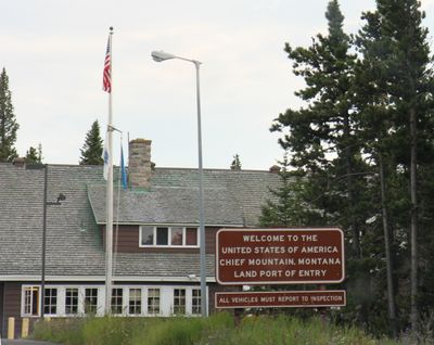
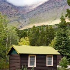
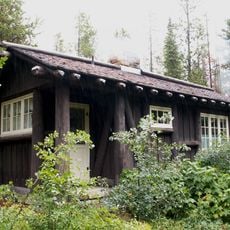
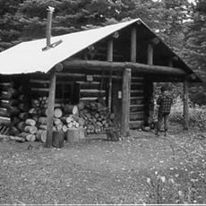
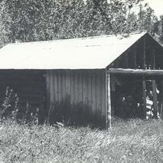
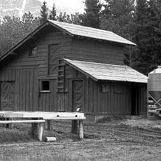
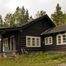
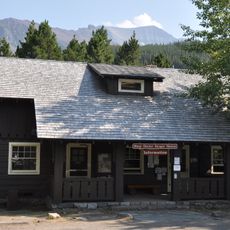
Chief Mountain Border Station and Quarters is a small building in National Park Service rustic style located at the US-Canada border in Glacier County. Built in 1939, it contains a lobby for travelers, administrative offices, overnight quarters for officers, utility rooms, and a separate garage with inspection pits for vehicle checks.
Built in 1939 to handle tourists from nearby national parks, the station was designed by National Park Service architect Paul A. Brown. It was added to the National Register of Historic Places in 2008, marking its recognition as an important example of early border infrastructure that has remained largely unchanged over the decades.
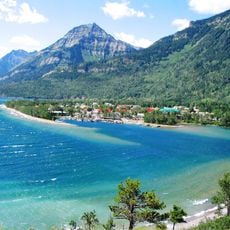
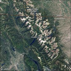
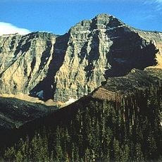
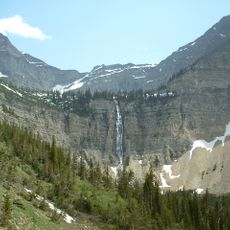
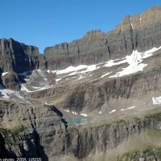
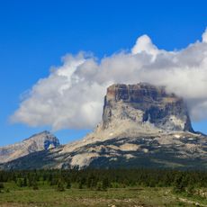
The station takes its name from Chief Mountain, a prominent peak nearby that has long served as a landmark for travelers in this region. The setting reflects how the border checkpoint connects human history with the wild landscape, creating a place where people pause to appreciate both the natural surroundings and the story of cross-border travel.
The border crossing operates seasonally, typically from mid or late May through late September or October. Visitors can pass through during daylight hours and sometimes in the evening, depending on weather conditions and the specific time of year.
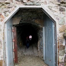
The station includes underground inspection pits in the attached garage area, a practical solution from an era when vehicle inspections required workers to look underneath cars without modern lifts. This detail reveals how early border management relied on hands-on inspection methods before electronic security became standard.
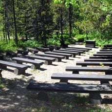
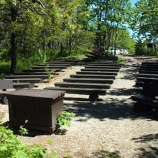
The community of curious travelers
AroundUs brings together thousands of curated places, local tips, and hidden gems, enriched daily by 60,000 contributors worldwide.