Enable Location

We need your location to show you interesting places around you

Discover nearby places

Find interesting locations and hidden gems around you

Precise directions

Get accurate directions and distances to places

Your location is never shared with other users. It's only used when you tap the location button.

Dixville Notch State Park

Log in to your account

Start exploring — it's free

Trusted by 61,326 travelers worldwide

Continue with Google
Continue with Apple
or

We will send you a code to connect

By continuing, you accept our Terms and Conditions and our Privacy Policy

Check your inbox

We've sent a pincode in your inbox. Please enter the code below.

Dixville Notch State Park

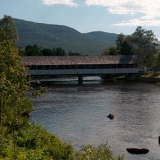
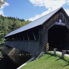
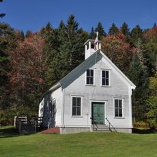
Dixville Notch State Park, State park in Coös County, United States.

Description

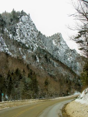
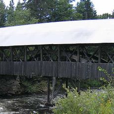
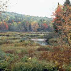
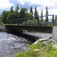
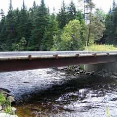
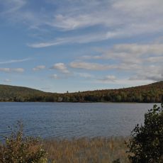
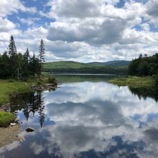
Dixville Notch State Park is a natural area in northern New Hampshire featuring a dramatic rocky gorge carved between two mountain peaks. The park contains hiking trails and a popular waterfall accessible from the main road.

History

The name comes from George Parsons, who built an inn in the area during the 1800s. This location became known as a destination and was eventually protected as a state park.

Culture

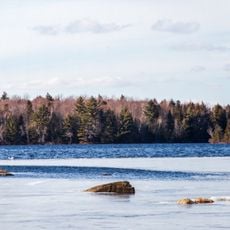
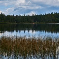
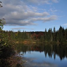
The park represents a meeting point between the Connecticut River and Androscoggin River watersheds, shaping the regional geography of New Hampshire.

Practical

The park is open year-round, though conditions vary greatly between seasons. Spring and fall offer the most comfortable weather for exploring trails and viewing the landscape.

Did you know?

The park maintains year-round accessibility despite seasonal temperature variations from 9.6°F in winter to 69.9°F in summer.

Location
GPS coordinates
44.86250,-71.29170
Latest update
December 12, 2025 14:40

AroundUs brings together thousands of curated places, local tips, and hidden gems, enriched daily by 60,000 contributors worldwide. Discover all places nearby (Coös County).

Around this place
Great North Woods Region
United States of America

Great North Woods Region

19.2 km
Janice Peaslee Bridge
United States of America

Janice Peaslee Bridge

31.7 km
Forest Lodge
United States of America

Forest Lodge

29 km
Pittsburg–Clarksville Covered Bridge
United States of America

Pittsburg–Clarksville Covered Bridge

23.2 km
Coleman State Park
United States of America

Coleman State Park

9.5 km
Umbagog National Wildlife Refuge
United States of America

Umbagog National Wildlife Refuge

18.2 km
Umbagog Lake State Park
United States of America

Umbagog Lake State Park

25.8 km
Mollidgewock State Park
United States of America

Mollidgewock State Park

18 km
Stark Covered Bridge
United States of America

Stark Covered Bridge

30.6 km
United States of America

Beaver Brook Falls Wayside

14.9 km
United States of America

Mount Kelsey

7 km
United States of America

Milan Hill State Park

32.7 km
Columbia Bridge
United States of America

Columbia Bridge

20.5 km
Bennett-Bean Covered Bridge
United States of America

Bennett-Bean Covered Bridge

20.9 km
Androscoggin Wayside Park
United States of America

Androscoggin Wayside Park

16.1 km
Indian Stream Schoolhouse
United States of America

Indian Stream Schoolhouse

23.7 km
Alice M. Ward Library
United States of America

Alice M. Ward Library

24.5 km
Wallace Farm
United States of America

Wallace Farm

18.7 km
Bloomfield-Nulhegan River Route 102 Bridge
United States of America

Bloomfield-Nulhegan River Route 102 Bridge

30.6 km
Benjamin Aldrich Homestead
United States of America

Benjamin Aldrich Homestead

16.3 km
Martin Homestead
United States of America

Martin Homestead

26.1 km
Site du patrimoine de l'église de Saint-Venant-de-Paquette
Canada

Site du patrimoine de l'église de Saint-Venant-de-Paquette

32.2 km
Église de Saint-Venant-de-Paquette
Canada

Église de Saint-Venant-de-Paquette

32.3 km
Forest Access Road bridge over the Connecticut River
United States of America

Forest Access Road bridge over the Connecticut River

23.4 km
Magalloway Road Bridge over the Connecticut River
United States of America

Magalloway Road Bridge over the Connecticut River

29.2 km
MEC Connecticut River Bridge
United States of America

MEC Connecticut River Bridge

24.2 km
Pontook Reservoir
United States of America

Pontook Reservoir

25.8 km
Second Connecticut Lake
United States of America

Second Connecticut Lake

33.9 km
Show the full map
« Dixville Notch State Park - State park in Coös County, United States » is provided by Around Us (aroundus.com). Images and texts are derived from Wikimedia project under a Creative Commons license. You are allowed to copy, distribute, and modify copies of this page, under the conditions set by the license, as long as this note is clearly visible.

Discover hidden gems everywhere you go!

From secret cafés to breathtaking viewpoints, skip the crowded tourist spots and find places that match your style. Our app makes it easy with voice search, smart filtering, route optimization, and insider tips from travelers worldwide. Download now for the complete mobile experience.

Around Us App Screenshot

A unique approach to discovering new places

Le Figaro

All the places worth exploring

France Info

A tailor-made excursion in just a few clicks

20 Minutes

Around Us
Travel Guide & Maps
Download

Send to your phone

QR Code
1

Open the camera app on your mobile.

2

Point at the QR code with your camera. A notification will appear.

3

Tap the notification to open the link.