Chest opened
+${chestReward.xp} XP
Explorer
NOUVEAU ×${chestReward.collectible.quantity}
tapez pour fermer

See the monuments around you in AR Open chests in the app

Around Us is built for your phone — point your camera at the streets and discover the monuments and places around you in augmented reality. Around Us is built for your phone — chests unlock when you walk, explore and capture nearby places.

Enable Location

We need your location to show you interesting places around you

Discover nearby places

Find interesting locations and hidden gems around you

Precise directions

Get accurate directions and distances to places

Your location is never shared with other users. It's only used when you tap the location button.

Umbagog National Wildlife Refuge

Log in to your account

Start exploring — it's free

Trusted by 85,577 travelers worldwide

Continue with Google
Continue with Apple
or

We will send you a code to connect

By continuing, you accept our Terms and Conditions and our Privacy Policy

Check your inbox

We've sent a pincode in your inbox. Please enter the code below.

Umbagog National Wildlife Refuge
Discussion Reviews 1 Photos
1.7k Popularity

Umbagog National Wildlife Refuge, National Wildlife Refuge at Umbagog Lake, New Hampshire and Maine.

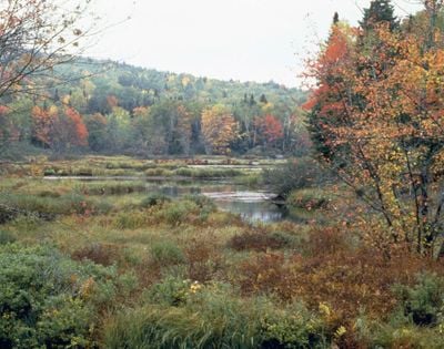
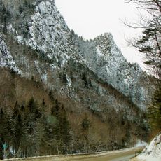
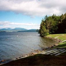
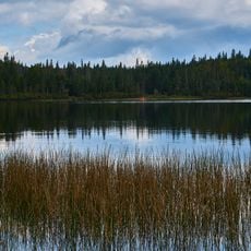
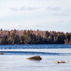
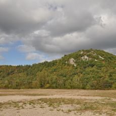
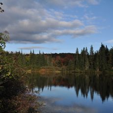
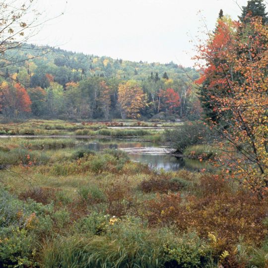
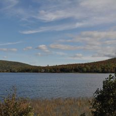
Umbagog National Wildlife Refuge is a protected area straddling the New Hampshire-Maine border that encompasses a lake, wetlands, and forested uplands. The landscape features open water, reed marshes, and dense forest that together create diverse habitats for wildlife.

The refuge was established to protect this ecologically valuable border region that has long served as a migration route for birds and other animals. After years without nesters, eagles returned in the 1980s and began settling at the lake again.

The refuge operates educational programs that teach visitors about local wildlife conservation and environmental protection methods.

Access is primarily by boat, allowing you to explore the lake and waterways while watching wildlife from a safe distance. Designated routes and observation points help visitors plan when and where to look for animals.

The area forms a transition zone between northern evergreen forests and eastern deciduous woods, making it especially attractive to bird species. This geographic position allows over 200 bird types to nest here or pass through.

The community of curious travelers

AroundUs brings together thousands of curated places, local tips, and hidden gems, enriched daily by 60,000 contributors worldwide.
Start exploring
Location
Inception
1992
GPS coordinates
44.79170,-71.08330
Latest update
August 30, 2026 21:19
Around this place
Great North Woods Region
United States of America

Great North Woods Region

12.8 mi
Old Speck Mountain
United States of America

Old Speck Mountain

16.5 mi
Grafton Notch State Park
United States of America

Grafton Notch State Park

15.2 mi
Jericho Mountain State Park
United States of America

Jericho Mountain State Park

22.1 mi
Angel Falls
United States of America

Angel Falls

18.4 mi
United States of America

Baldpate Mountain

15.7 mi
Dixville Notch State Park
United States of America

Dixville Notch State Park

11.3 mi
Rangeley Lake State Park
United States of America

Rangeley Lake State Park

21.8 mi
Goose Eye Mountain
United States of America

Goose Eye Mountain

20.4 mi
Forest Lodge
United States of America

Forest Lodge

6.8 mi
Coleman State Park
United States of America

Coleman State Park

16 mi
Umbagog Lake State Park
United States of America

Umbagog Lake State Park

6.3 mi
Mount Jasper Lithic Source
United States of America

Mount Jasper Lithic Source

21.9 mi
Mollidgewock State Park
United States of America

Mollidgewock State Park

4.7 mi
Stark Covered Bridge
United States of America

Stark Covered Bridge

20.7 mi
Merrill-Poor House
United States of America

Merrill-Poor House

20.1 mi
Beaver Brook Falls Wayside
United States of America

Beaver Brook Falls Wayside

20.7 mi
United States of America

Mount Kelsey

11.3 mi
Milan Hill State Park
United States of America

Milan Hill State Park

16.7 mi
Andover Public Library
United States of America

Andover Public Library

19.7 mi
Bennett-Bean Covered Bridge
United States of America

Bennett-Bean Covered Bridge

9.1 mi
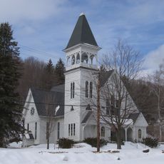
Congregational Church
United States of America

Congregational Church

22.1 mi
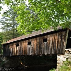
Lovejoy Bridge
United States of America

Lovejoy Bridge

22 mi
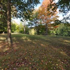
Androscoggin Wayside Park
United States of America

Androscoggin Wayside Park

5.9 mi
Benjamin Aldrich Homestead
United States of America

Benjamin Aldrich Homestead

21.5 mi
Forest Access Road bridge over the Connecticut River
United States of America

Forest Access Road bridge over the Connecticut River

22.2 mi
Screw Auger Falls
United States of America

Screw Auger Falls

17.6 mi
Pontook Reservoir
United States of America

Pontook Reservoir

13.7 mi
Show the full map
Reviews
Share your experience

No review yet

Discussions
Start a discussion...

No discussion yet

« Umbagog National Wildlife Refuge - National Wildlife Refuge at Umbagog Lake, New Hampshire and Maine » is provided by Around Us (aroundus.com). Images and texts are derived from Wikimedia project under a Creative Commons license. You are allowed to copy, distribute, and modify copies of this page, under the conditions set by the license, as long as this note is clearly visible.

Discover hidden gems everywhere you go!

From secret cafés to breathtaking viewpoints, skip the crowded tourist spots and find places that match your style. Our app makes it easy with voice search, smart filtering, route optimization, and insider tips from travelers worldwide. Download now for the complete mobile experience.
Around Us App Screenshot

A unique approach to discovering new places

Le Figaro

All the places worth exploring

France Info

A tailor-made excursion in just a few clicks

20 Minutes

Around Us
Travel Guide & Maps
Download

Send to your phone

QR Code
1

Open the camera app on your mobile.

2

Point at the QR code with your camera. A notification will appear.

3

Tap the notification to open the link.