
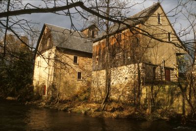
Ehrhart's Mill Historic District
Ehrhart's Mill Historic District, historic district in Pennsylvania, United States
Location: Lower Saucon Township
GPS coordinates: 40.56194,-75.34944
Latest update: April 2, 2025 01:53
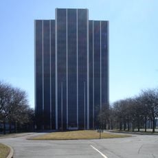
Martin Tower
8.6 km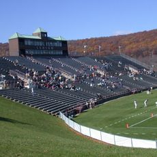
Goodman Stadium
3 km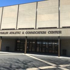
Stabler Arena
2.6 km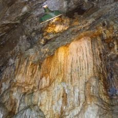
Lost River Caverns
2.6 km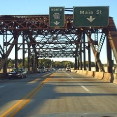
Hill to Hill Bridge
6.7 km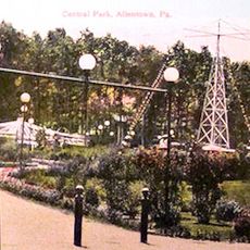
Central Park
9 km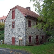
Bethlehem Waterworks
7 km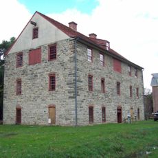
Historic Moravian Bethlehem Historic District
6.9 km
Burnside Plantation
8.4 km
Pembroke Village
7.7 km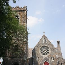
Cathedral Church of the Nativity
6.2 km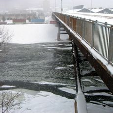
Philip J. Fahy Memorial Bridge
6.4 km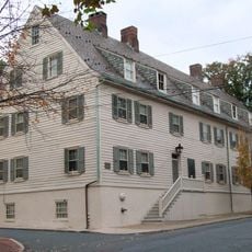
Gemeinhaus-Lewis David de Schweinitz Residence
6.9 km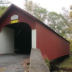
Knecht's Mill Covered Bridge
6.6 km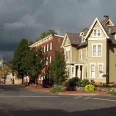
Central Bethlehem Historic District
6.9 km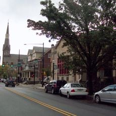
South Bethlehem Downtown Historic District
6 km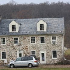
Jacob Funk House and Barn
6.9 km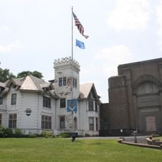
Fountain Hill Historic District
6.3 km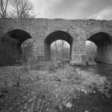
Centennial Bridge
5.2 km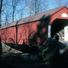
Haupt's Mill Covered Bridge
8.4 km
Elmwood Park Historic District
7.1 km
Springtown Historic District
5.2 km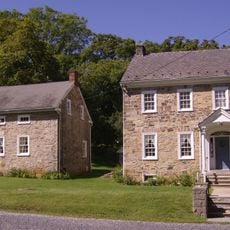
Michael and Margaret Heller House
1.9 km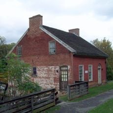
Gristmiller's House
7.2 km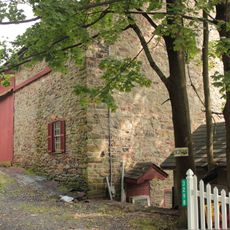
John Eakin Farm
5.8 km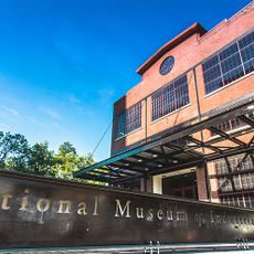
National Museum of Industrial History
5.9 km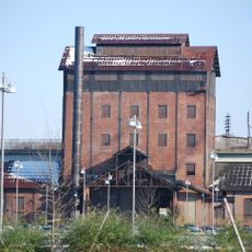
Minsi Trail Bridge
6.2 km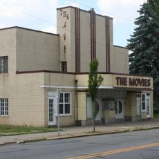
Movies
2.7 kmVisited this place? Tap the stars to rate it and share your experience / photos with the community! Try now! You can cancel it anytime.
Discover hidden gems everywhere you go!
From secret cafés to breathtaking viewpoints, skip the crowded tourist spots and find places that match your style. Our app makes it easy with voice search, smart filtering, route optimization, and insider tips from travelers worldwide. Download now for the complete mobile experience.

A unique approach to discovering new places❞
— Le Figaro
All the places worth exploring❞
— France Info
A tailor-made excursion in just a few clicks❞
— 20 Minutes