Strobl, Municipality in Salzburg-Umgebung District, Austria
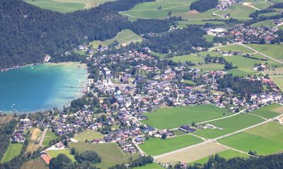
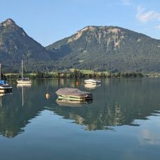
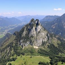
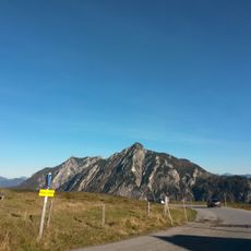
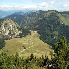
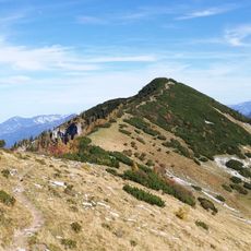
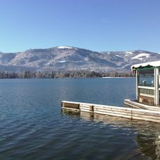
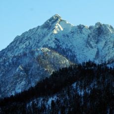
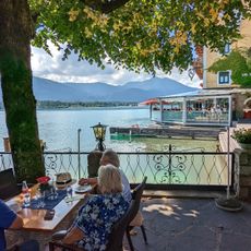
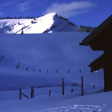
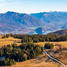
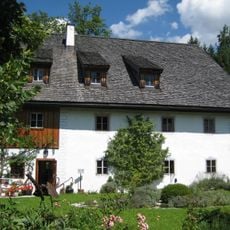
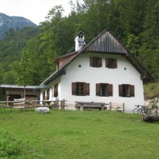
Strobl is a municipality on the eastern shore of Lake Wolfgang in the Salzkammergut region, situated at about 540 meters elevation. The area spreads across flat and rolling sections with forest, meadows, and direct lake access.
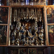
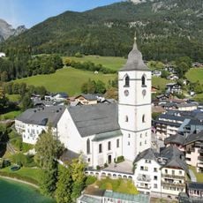
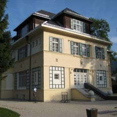
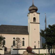
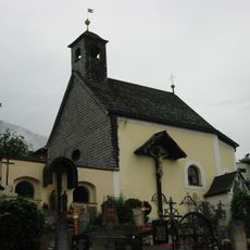
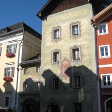
The name comes from Friedrich Stroblo, a 14th-century pond owner, with earliest written records from the 16th century. The Baroque church was built in the 18th century during a period of local development under Salzburg's archbishops.
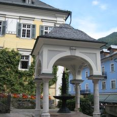
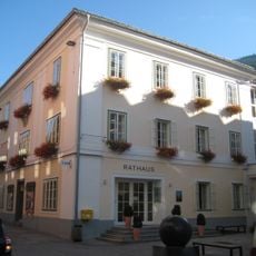
The local parish church showcases late Baroque design and serves as a focal point of village life. The 18th-century architecture shapes how the town center looks and feels today.
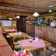
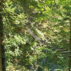
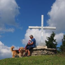
The place offers water sports directly on the lake and hiking trails into the surrounding mountains with varying difficulty levels. It's best explored on foot or by bike to discover the village and lakeside at your own pace.
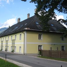
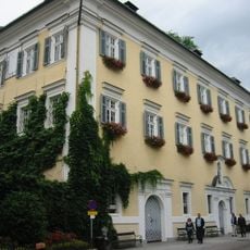
The University of Vienna operates an adult education institute here that regularly hosts international conferences and training programs. The center draws scholars and professionals from many countries who come for continuing education in this alpine village.
Location: Salzburg-Umgebung District
Elevation above the sea: 542 m
Shares border with: St. Wolfgang im Salzkammergut, Bad Goisern am Hallstättersee, Bad Ischl, Rußbach am Paß Gschütt, St. Gilgen
Email: gemeinde@gemeinde-strobl.at
Website: https://strobl.salzburg.at
GPS coordinates: 47.71914,13.48283
Latest update: December 7, 2025 10:07
St Wolfgang altarpiece
3.4 km
Parish church Saint Wolfgang
3.4 km
Bleckwand
4.1 km
Sparber
3 km
Rinnkogel
5.8 km
Chorinsky-Klause
8.8 km
Deutschvilla
307 m
Hoher Zinken
11.6 km
Osterhorn
10.3 km
Pfarrkirche St. Sigismund
12 m
Breitenberg
7.2 km
Postalmhütte
7 km
Sankt Wolfgang im Salzkammergut - cemetery
2.7 km
Friedhofskapelle
2.7 km
Ledererschlössl, Lederervilla, Angerhof
380 m
Pilgerbrunnen, Sankt Wolfgang im Salzkammergut
3.4 km
Rettenkogel
4.6 km
Seeterrasse "Zum weissen Hirschen"
3.3 km
Rathaus, Wagner oder Egelshuberhaus
3.4 km
Wieslerhorn
7 km
Postalmklamm
6.8 km
Pillsteinhöhe
11 km
Illingerberg
11.1 km
Schmiedehammer, ehem. Forsthaus
1.5 km
Schloss und ehem. Pfarrhof
3.4 km
Müll unter der Danzerleithen
3.1 km
Sog. Brunntalstube, Holzknechtstube
8.8 km
Blindhaus/Stephan-Schwarz-Haus
3.4 kmVisited this place? Tap the stars to rate it and share your experience / photos with the community! Try now! You can cancel it anytime.
Discover hidden gems everywhere you go!
From secret cafés to breathtaking viewpoints, skip the crowded tourist spots and find places that match your style. Our app makes it easy with voice search, smart filtering, route optimization, and insider tips from travelers worldwide. Download now for the complete mobile experience.
A unique approach to discovering new places❞
— Le Figaro
All the places worth exploring❞
— France Info
A tailor-made excursion in just a few clicks❞
— 20 Minutes