Andújar

Log in to your account

AroundUs is a community-driven map of interesting places, built by curious explorers like you. It grows with every review, story, and photo you share.
Connect to save your favorite spots, contribute locations, and create personalized routes.
Continue with Google
Continue with Apple
Continue with X
Continue with Facebook
Continue with email
By continuing, you accept our Terms and Conditions and our Privacy Policy
Create an account
Add to collection
Map
Suggest a change
Share

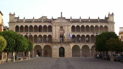
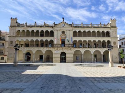
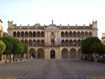
Andújar, Municipality in Jaén Province, Spain

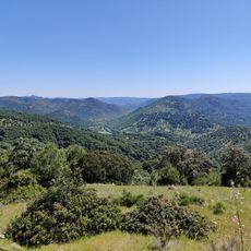
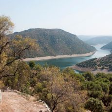
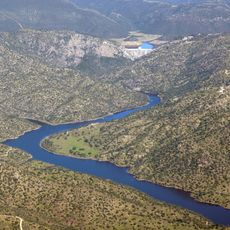
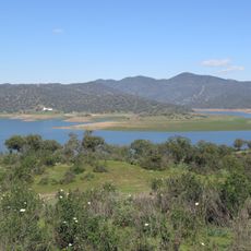
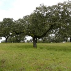
Andújar sits along the right bank of the Guadalquivir River in Jaén Province, shaped by contrasting landscapes on either side. The Sierra de Andújar Natural Park rises to the north with its rocky terrain, while farmland spreads across the southern plains.

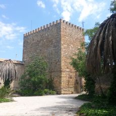
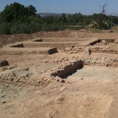
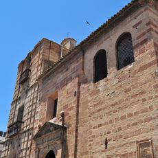
Human settlement in this area stretches back to the Paleolithic period, evidenced by ancient stone tools and artifacts found in the region. The Iberian Oretani people later established Isturgi here, a major settlement that endured through successive periods of Roman and later rule.

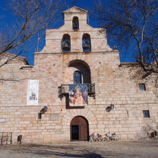
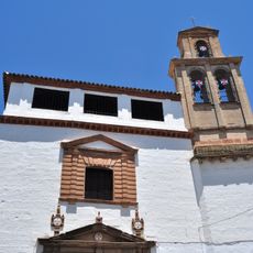
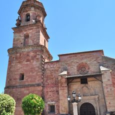
The veneration of the Virgen de la Cabeza has shaped the town's spiritual identity for centuries, drawing pilgrims from across the region. This devotion remains woven into the daily rhythms and celebrations of the local community.

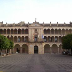
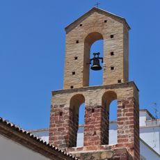
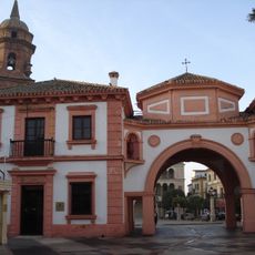
The local information office is located at Torre del Reloj on Plaza de Santa María, where staff can answer questions about the area. Visitors can stop by to get recommendations for exploring both the town center and the surrounding countryside.

The area earned renown for crafting alcarrazas, simple clay water vessels that kept drinking water naturally cool during hot months. These handmade pots represent an ancient craft tradition that served practical needs in the warm Spanish climate.

Location: Jaén Province

Capital city: Andújar

Elevation above the sea: 212 m

Part of: distrito notarial de Andújar, Campiña de Jaén

Shares border with: Baños de la Encina, Villanueva de la Reina, Lahiguera, Arjona, Arjonilla, Marmolejo, Montoro, Cardeña, Fuencaliente, Solana del Pino, Mestanza

Website: http://andujar.es

GPS coordinates: 38.03924,-4.05056

Latest update: December 14, 2025 17:39

Photos
Reviews

Visited this place? Tap the stars to rate it and share your experience / photos with the community! Try now! You can cancel it anytime.

« Andújar - Municipality in Jaén Province, Spain » is provided by Around Us (aroundus.com). Images and texts are derived from Wikimedia project under a Creative Commons license. You are allowed to copy, distribute, and modify copies of this page, under the conditions set by the license, as long as this note is clearly visible.

Discover hidden gems everywhere you go!

From secret cafés to breathtaking viewpoints, skip the crowded tourist spots and find places that match your style. Our app makes it easy with voice search, smart filtering, route optimization, and insider tips from travelers worldwide. Download now for the complete mobile experience.

Around Us App Screenshot

A unique approach to discovering new places

Le Figaro

All the places worth exploring

France Info

A tailor-made excursion in just a few clicks

20 Minutes