Tarifa

Log in to your account

AroundUs is a community-driven map of interesting places, built by curious explorers like you. It grows with every review, story, and photo you share.
Connect to save your favorite spots, contribute locations, and create personalized routes.
By continuing, you accept our Terms and Conditions and our Privacy Policy
Add to collection
Map
Suggest a change
Share

Tarifa, Coastal municipality at the southern tip of Spain.

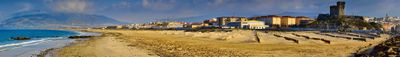
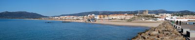
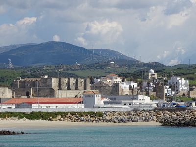
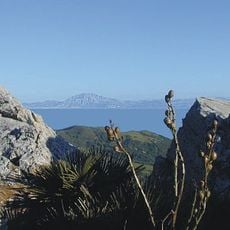
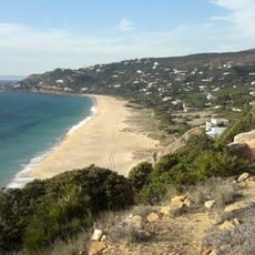
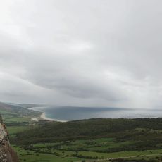
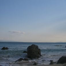
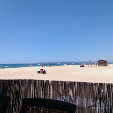
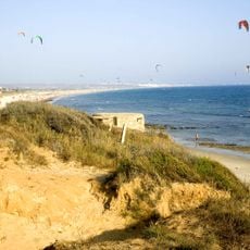
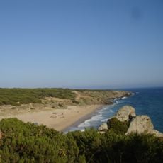
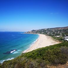
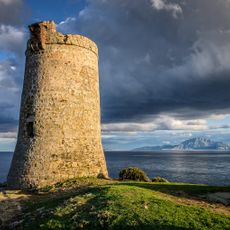
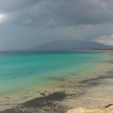
Tarifa is a municipality at the southern tip of the Iberian Peninsula, where the Mediterranean and Atlantic meet. The shoreline runs for roughly 38 kilometers (24 miles) and is lined with several long sandy beaches where strong winds create choppy waters.

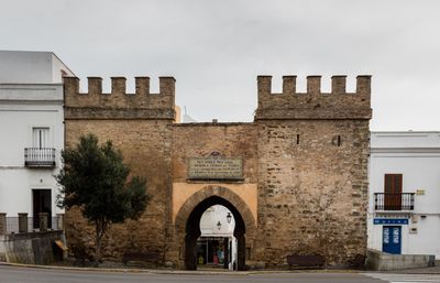
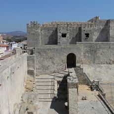
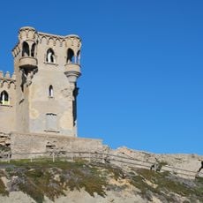
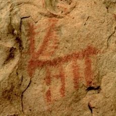
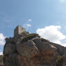
The settlement emerged after the Muslim conquest in the eighth century through Tarif ibn Malik, a Berber commander. The location at the strait brought various rulers over the centuries, until the region came under Castilian control in the late 15th century.

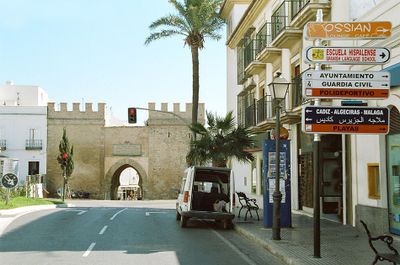
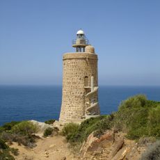
The town takes its name from a Moorish commander and still shows traces of North African heritage in winding alleys and flat-roofed white houses. Fishermen work at the harbor using techniques passed down for centuries, while surfers and kitesurfers harness the steady year-round winds.

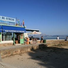
Ferries link the harbor with Tangier in Morocco and run several times daily with space for cars and foot passengers. The crossing takes about an hour and requires valid travel documents for entry into Africa.

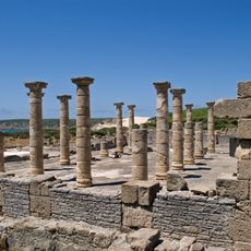
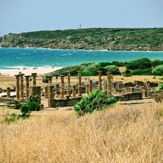
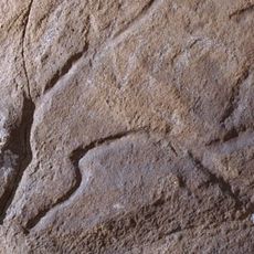
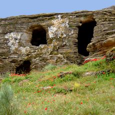
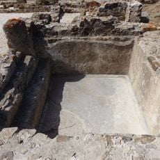
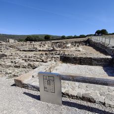
Remains of a Roman town called Baelo Claudia lie a few kilometers east and show intact columns, temples, and fish processing plants from the second century before Christ. Archaeologists have also uncovered a well-preserved forum and basilica there, offering insight into Roman daily life along this remote coast.

Location: Cádiz Province

Capital city: Tarifa

Elevation above the sea: 7 m

Part of: distrito notarial de Algeciras, Mancomunitat de municipis de la Comarca del Campo de Gibraltar espanyol, Campo de Gibraltar

Shares border with: Algeciras, Los Barrios, Medina Sidonia, Vejer de la Frontera, Barbate

Website: http://aytotarifa.com

GPS coordinates: 36.01531,-5.60567

Latest update: December 4, 2025 23:40

Photos
Reviews

Visited this place? Tap the stars to rate it and share your experience / photos with the community! Try now! You can cancel it anytime.

« Tarifa - Coastal municipality at the southern tip of Spain » is provided by Around Us (aroundus.com). Images and texts are derived from Wikimedia project under a Creative Commons license. You are allowed to copy, distribute, and modify copies of this page, under the conditions set by the license, as long as this note is clearly visible.

Discover hidden gems everywhere you go!

From secret cafés to breathtaking viewpoints, skip the crowded tourist spots and find places that match your style. Our app makes it easy with voice search, smart filtering, route optimization, and insider tips from travelers worldwide. Download now for the complete mobile experience.

Around Us App Screenshot

A unique approach to discovering new places

Le Figaro

All the places worth exploring

France Info

A tailor-made excursion in just a few clicks

20 Minutes