Enable Location

We need your location to show you interesting places around you

Discover nearby places

Find interesting locations and hidden gems around you

Precise directions

Get accurate directions and distances to places

Your location is never shared with other users. It's only used when you tap the location button.

Embalse de Salime

Log in to your account

Start exploring — it's free

Trusted by 62,177 travelers worldwide

Continue with Google
Continue with Apple
or

We will send you a code to connect

By continuing, you accept our Terms and Conditions and our Privacy Policy

Check your inbox

We've sent a pincode in your inbox. Please enter the code below.

Embalse de Salime

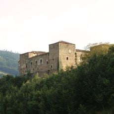
Embalse de Salime, reservoir and hydroelectric dam

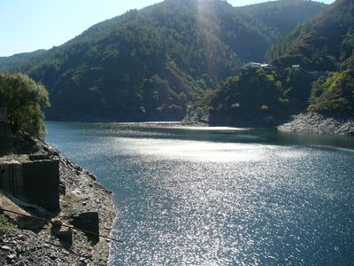
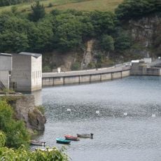
The Embalse de Salime is a large water reservoir in western Asturias that was completed in 1955 and covers approximately 685 hectares. The concrete dam stands about 128 meters high and roughly 250 meters wide at its crest, holding back the Navia River to generate electricity through four turbines.

Planning began in the 1940s and construction took place between 1946 and 1955, using over 630,000 cubic meters of concrete. The project marked a turning point in Spain's industrial history and was, at its completion, the largest dam in Spain and the second largest in Europe.

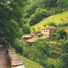
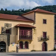
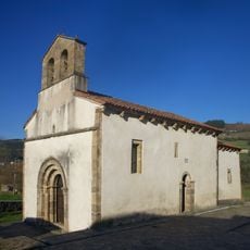
The name comes from the old village of Salime, which now lies underwater and once served as the area's main settlement. When water levels drop, remnants of houses emerge, offering a tangible connection to a community that was displaced to make way for the reservoir.

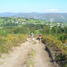
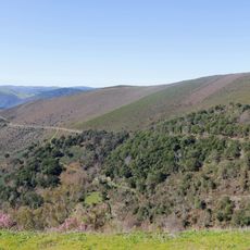
The site is accessible from Grandas de Salime via the AS-14 highway and offers various activities such as fishing, boating, and picnicking around the water. Water levels change seasonally depending on rainfall and power demands, which affects the best time to visit.

An impressive feature of the construction was a cable car that stretched over 37 kilometers, transporting materials across steep terrain to help complete the project on time. This innovative solution was crucial to managing the logistical challenges of building in difficult mountainous conditions.

The community of curious travelers

AroundUs brings together thousands of curated places, local tips, and hidden gems, enriched daily by 60,000 contributors worldwide.

Start exploring
Location
Location
Inception
1954
GPS coordinates
43.23611,-6.84778
Latest update
February 7, 2026 11:01
« Embalse de Salime - reservoir and hydroelectric dam » is provided by Around Us (aroundus.com). Images and texts are derived from Wikimedia project under a Creative Commons license. You are allowed to copy, distribute, and modify copies of this page, under the conditions set by the license, as long as this note is clearly visible.

Discover hidden gems everywhere you go!

From secret cafés to breathtaking viewpoints, skip the crowded tourist spots and find places that match your style. Our app makes it easy with voice search, smart filtering, route optimization, and insider tips from travelers worldwide. Download now for the complete mobile experience.

Around Us App Screenshot

A unique approach to discovering new places

Le Figaro

All the places worth exploring

France Info

A tailor-made excursion in just a few clicks

20 Minutes

Around Us
Travel Guide & Maps
Download

Send to your phone

QR Code
1

Open the camera app on your mobile.

2

Point at the QR code with your camera. A notification will appear.

3

Tap the notification to open the link.