
Los Silos, municipality of Spain
Location: Tenerife
Elevation above the sea: 105 m
Part of: Mancomunitat del Norte de Tenerife
Shares border with: Buenavista del Norte, Santiago del Teide, El Tanque, Garachico
Website: http://lossilos.es
GPS coordinates: 28.36582,-16.81671
Latest update: March 4, 2025 18:19
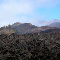
Reserva Natural Especial del Chinyero
7.4 km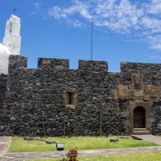
Castillo de San Miguel
5 km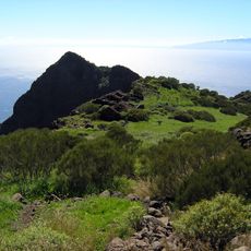
Parque Rural de Teno
7.4 km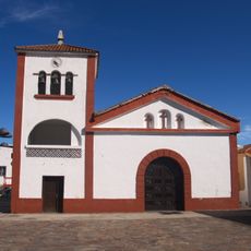
San José de Los Llanos
5.1 km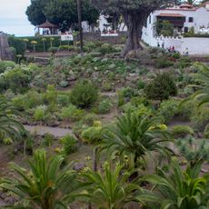
Parque del Drago
9.3 km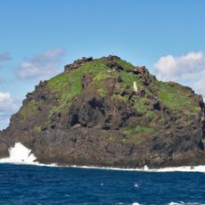
Roque de Garachico
5.5 km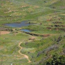
Erjos
4.3 km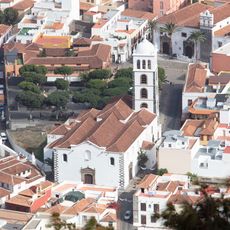
Church of Santa Ana (Garachico)
5.1 km
El Caletón
5 km
Tierra del Trigo (Tenerife)
1.9 km
Port of Garachico
6.2 km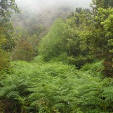
Monte del Agua
2.8 km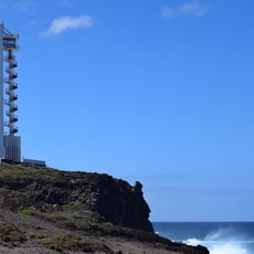
Buenavista Lighthouse
3.4 km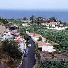
El Guincho
7.4 km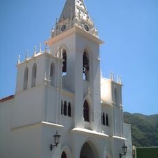
Iglesia de Nuestra Señora de La Luz
69 m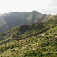
Los Carrizales
6.4 km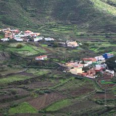
Valle de Arriba
6.6 km
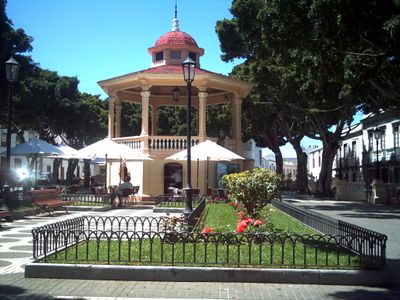
Conjunto histórico de Los Silos
0 m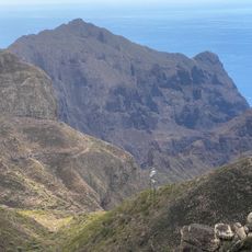
Parque Rural de Teno
5.5 km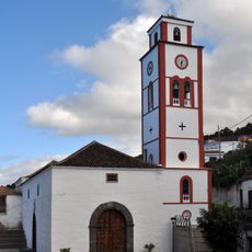
Iglesia de San Antonio de Padua, El Tanque
4.4 km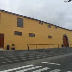
Ex-convento de San Sebastián, Los Silos
88 m
Cave Guanche culture
9.2 km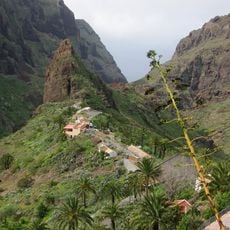
El Caserío de Masca
7.1 km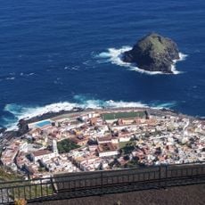
Villa y puerto de Garachico
5.2 km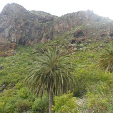
Site of Scientific Interest of Interián
1.5 km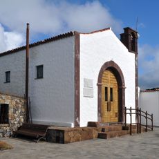
Iglesia De Teno Alto
6.4 km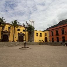
Convento de San Francisco
5.2 km
Earth Gate, Garachico
5.1 kmReviews
Visited this place? Tap the stars to rate it and share your experience / photos with the community! Try now! You can cancel it anytime.
Discover hidden gems everywhere you go!
From secret cafés to breathtaking viewpoints, skip the crowded tourist spots and find places that match your style. Our app makes it easy with voice search, smart filtering, route optimization, and insider tips from travelers worldwide. Download now for the complete mobile experience.

A unique approach to discovering new places❞
— Le Figaro
All the places worth exploring❞
— France Info
A tailor-made excursion in just a few clicks❞
— 20 Minutes