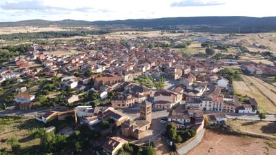
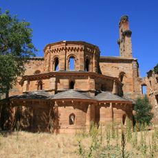
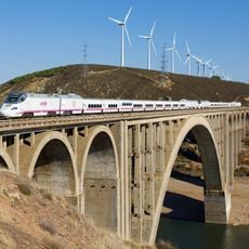
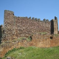
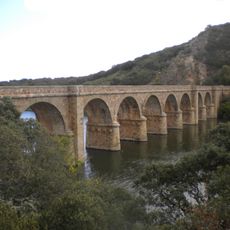
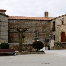
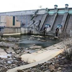
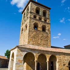
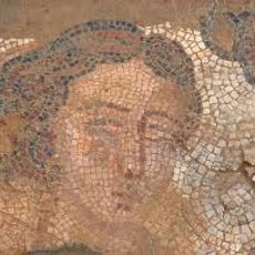
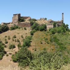
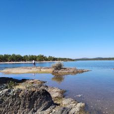
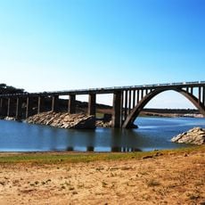
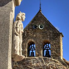
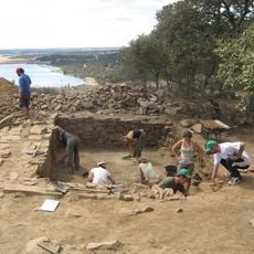
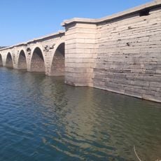
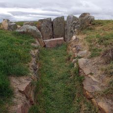
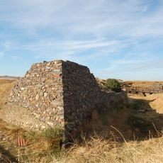
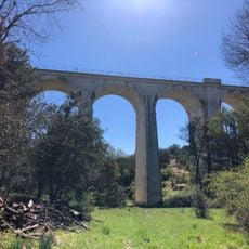
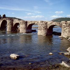
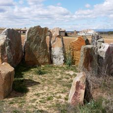
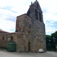
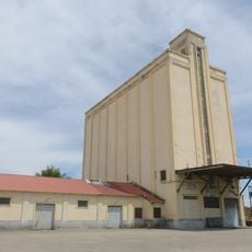
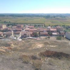
Tábara, municipality of Zamora Province, Spain
Location: Zamora Province
Capital city: Tábara
Elevation above the sea: 749 m
Part of: Mancomunidad «Tierra de Tábara»
Shares border with: Faramontanos de Tábara, Moreruela de Tábara, Pozuelo de Tábara, Ferreruela, Riofrío de Aliste, Ferreras de Arriba, Ferreras de Abajo, Villanueva de las Peras, Pueblica de Valverde, Friera de Valverde
Website: http://aytotabara.com
GPS coordinates: 41.82611,-5.95889
Latest update: April 16, 2025 13:58
Moreruela Abbey
15.2 km
Viaduct of Martín Gil
20.4 km
Castrotorafe
17.8 km
Castle of Castrotorafe
17.6 km
Quintos Bridge
14.7 km
Church of Santa Marta de Tera
18.8 km
Nuestra Señora del Agavanzal Dam
22.8 km
Iglesia de Santa María
93 m
Villa tardorromana de Camarzana de Tera
19.7 km
Castle of Alba, Losacino
20.8 km
Playa de los Molinos
32 km
Villa romana de Orpheus
19.7 km
Bridge of La Estrella of 1933
18.4 km
Iglesia de Santiago Apóstol
17.3 km
El Castillon
13.9 km
Bridge of La Estrella of 1869
17.3 km
Dolmen de San Adrián
25.6 km
Fuerte de San Carlos (Carbajales de Alba)
19.9 km
Viaducto del Vertillo
11.2 km
Pesquera Bridge
14.5 km
Dolmen de las Peñezuelas
25.2 km
Iglesia de San Bartolomé
15.8 km
Playa Fluvial
21.4 km
Silo of La Tabla
21.2 km
Castle of Granucillo
25 km
Silo de Tábara
762 m
Silo of Manganeses de la Lampreana
21.5 km
Yacimiento de El Castro, Camarzana de Tera
19.9 kmReviews
Visited this place? Tap the stars to rate it and share your experience / photos with the community! Try now! You can cancel it anytime.
Discover hidden gems everywhere you go!
From secret cafés to breathtaking viewpoints, skip the crowded tourist spots and find places that match your style. Our app makes it easy with voice search, smart filtering, route optimization, and insider tips from travelers worldwide. Download now for the complete mobile experience.
A unique approach to discovering new places❞
— Le Figaro
All the places worth exploring❞
— France Info
A tailor-made excursion in just a few clicks❞
— 20 Minutes