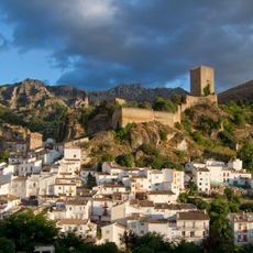
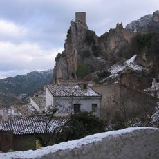
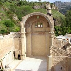
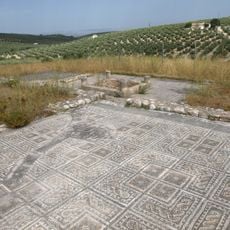
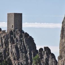
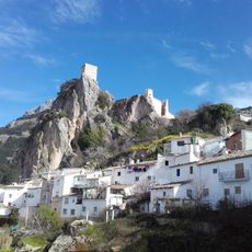
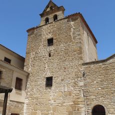
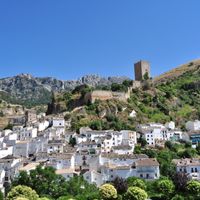
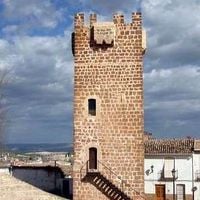
Sierra de Cazorla, Protected natural area in Jaén Province, Spain.
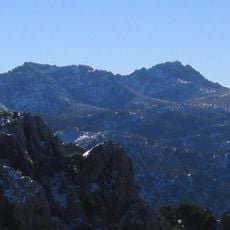
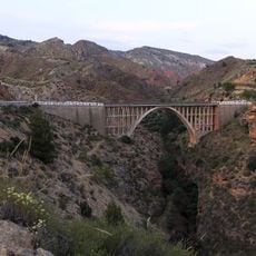
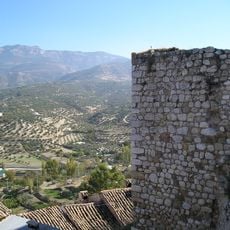
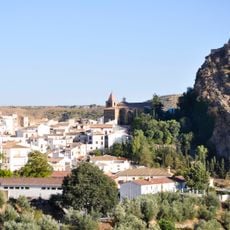
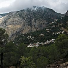
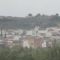
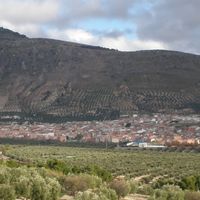
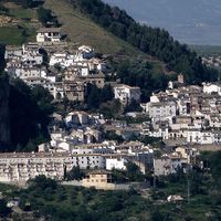
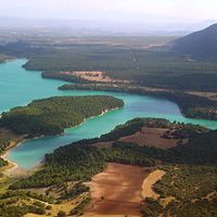
Sierra de Cazorla is a sprawling mountain region in Jaén Province spanning several municipalities, featuring dramatic limestone formations, deep valleys, and peaks exceeding 2,000 meters. The terrain is shaped by forests, rivers, and varying natural zones that together create a complex patchwork of landscapes.
The region became a UNESCO Biosphere Reserve in 1983, establishing itself as Spain's largest protected natural space. This designation reflected its importance for conservation across Europe.
Local communities maintain a strong food tradition centered on wild game, fresh local produce, and olive oil with a regional designation. These products shape daily meals and celebrations throughout the mountain villages.
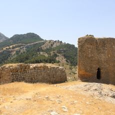
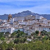
The area has numerous marked hiking trails connecting eight municipalities with varying difficulty levels. The town of Cazorla serves as the main entry point and offers lodging and information for planning visits.
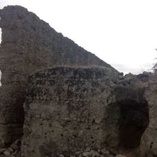
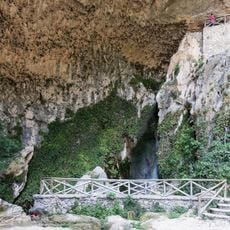
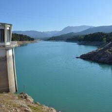
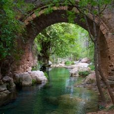
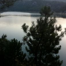
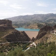
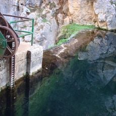
The area contains specific karst formations and natural water sources that create an intricate network of underground systems. These geological features support remarkable biodiversity across different elevations.
Location: Jaén Province
Capital city: Cazorla
Shares border with: La Loma
GPS coordinates: 37.86703,-3.03676
Latest update: December 7, 2025 20:47
Castillo de la Yedra
5.5 km
Colonia Salaria
26.1 km
Castillo La Iruela
7.3 km
Cueva del Agua en Tíscar
11 km
Iglesia de Santa Maria, Cazorla
5.7 km
Embalse de La Bolera
15.8 km
Villa romana del Bruñel
4.2 km
Puente de las Herrerías
9.4 km
Castillo de Tiscar
10.9 km
Pico Cabañas
9.4 km
Embalse del Aguascebas
21.1 km
Castillo de las Cinco Esquinas
4.6 km
Aparcamieto en Castillo de la Yedra
5.4 km
El Portillo Reservoir
22.8 km
Torre Castellón de Fique
8.7 km
Ruinas de la Iglesia de Santo Domingo
7.2 km
Torre del Campanario de la Iglesia
18.9 km
Puente Hinojares
16.8 km
Castillo de Nubla
9.9 km
Muralla urbana
3.5 km
Iglesia de San Pedro y San Pablo
3.5 km
Palacio de las Cadenas
6 km
Centro Histórico de Castril
24 km
Central Hidroeléctrica Cerrada del Utrero
11.9 km
Ermita de San Isicio
5.2 km
Acueducto de Catalina
23.8 km
Paisaje del nacimiento del Guadalquivir
6.4 km
Puente de Arroyo Salado
19.5 kmVisited this place? Tap the stars to rate it and share your experience / photos with the community! Try now! You can cancel it anytime.
Discover hidden gems everywhere you go!
From secret cafés to breathtaking viewpoints, skip the crowded tourist spots and find places that match your style. Our app makes it easy with voice search, smart filtering, route optimization, and insider tips from travelers worldwide. Download now for the complete mobile experience.
A unique approach to discovering new places❞
— Le Figaro
All the places worth exploring❞
— France Info
A tailor-made excursion in just a few clicks❞
— 20 Minutes