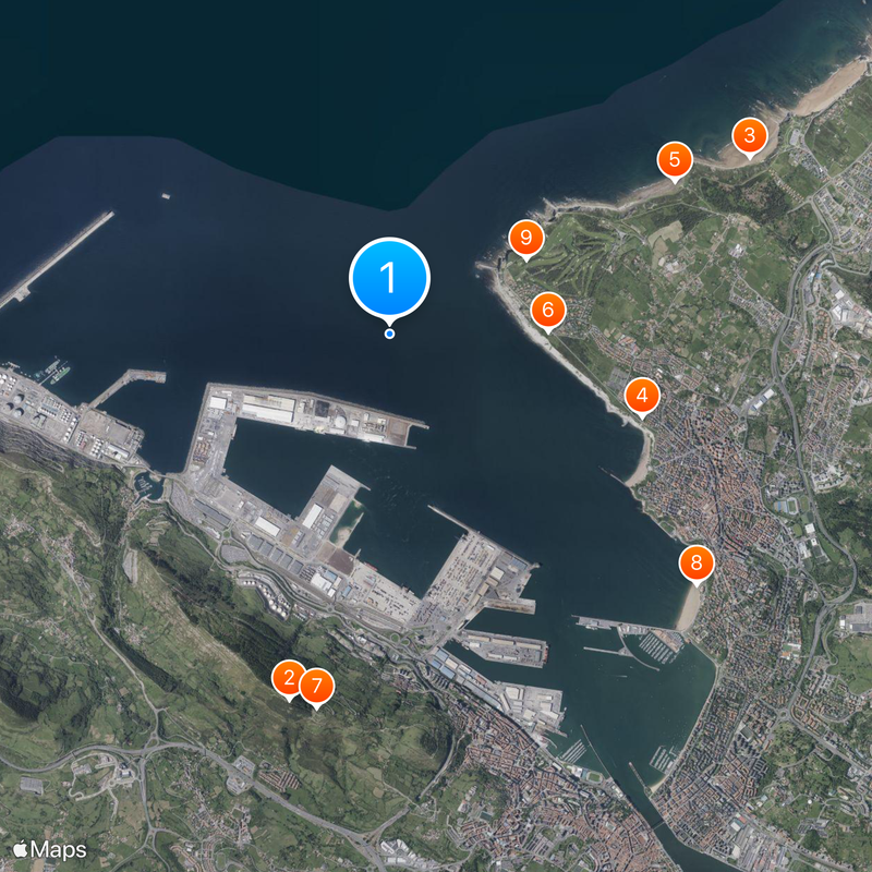
Estuary of Bilbao, Navigable estuary between Bilbao and Cantabrian Sea, Spain
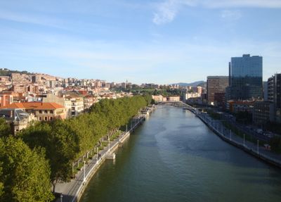
The Estuary of Bilbao is a navigable waterway roughly 16 km long that connects the Nervión, Ibaizabal, and Cadagua rivers to the Bay of Biscay. It runs through the metropolitan region, linking neighborhoods and communities to the sea.
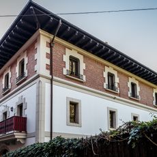
Bilbao was founded roughly 700 years ago as a trading settlement along the Nervión riverbanks. The city later grew along the waterway toward the sea, using this location for commerce and fishing.
The waterway separates the metropolitan area into two distinct sides, each with its own neighborhoods and communities. People use the riverbanks as gathering spaces, and the estuary shapes how residents think about their region.
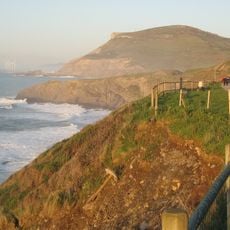
The best times to visit are on days with mild weather when the banks are most pleasant to walk. Most viewpoints and walking paths are easy to reach and require no special equipment or preparation.
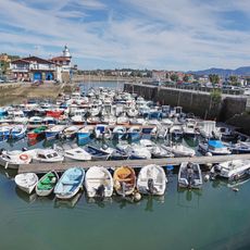
The former port operations were deliberately moved to coastal locations, allowing large industrial areas along the water to be transformed. This shift enabled the city to reclaim the banks for living and recreation while keeping the waterway open for boats.
The community of curious travelers
AroundUs brings together thousands of curated places, local tips, and hidden gems, enriched daily by 60,000 contributors worldwide.