Enable Location

We need your location to show you interesting places around you

Discover nearby places

Find interesting locations and hidden gems around you

Precise directions

Get accurate directions and distances to places

Your location is never shared with other users. It's only used when you tap the location button.

Serra dos Ancares

Log in to your account

Start exploring — it's free

Trusted by 62,172 travelers worldwide

Continue with Google
Continue with Apple
or

We will send you a code to connect

By continuing, you accept our Terms and Conditions and our Privacy Policy

Check your inbox

We've sent a pincode in your inbox. Please enter the code below.

Serra dos Ancares

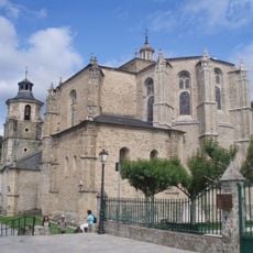
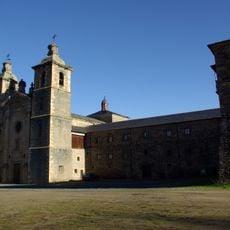
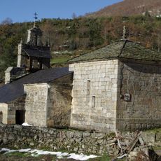
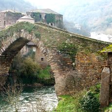
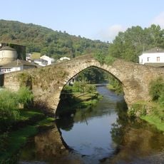
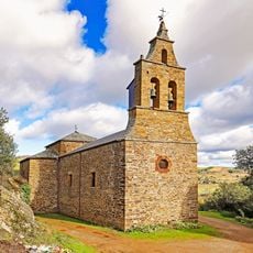
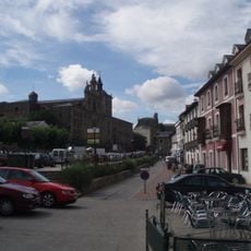
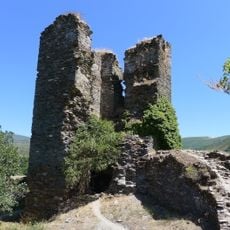
Serra dos Ancares, Mountain range in León and Lugo Provinces, Spain.

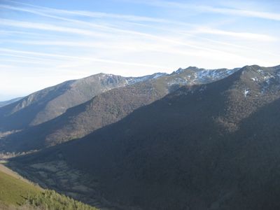
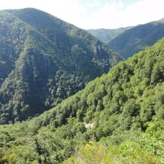
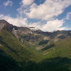
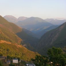
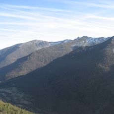
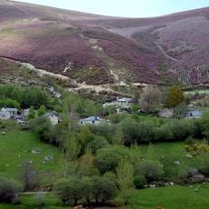
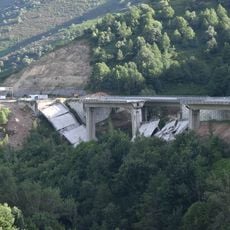
Serra dos Ancares is a mountain range spanning across León and Lugo Provinces with peaks reaching approximately 1987 meters in elevation. The terrain features valleys shaped by glacial and river processes that carved the landscape over time.

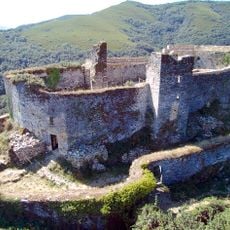
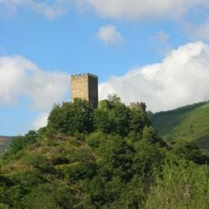
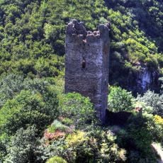
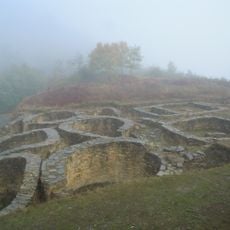
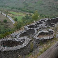
The region contains evidence of Iron Age settlements scattered throughout the mountain terrain and valleys. These archaeological sites indicate a long history of human habitation in this highland area.

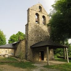
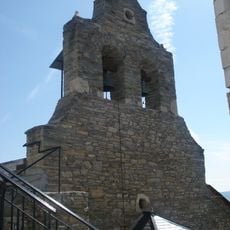
The traditional stone houses known as pallozas feature round layouts and thatched roofs, reflecting building techniques that local people have practiced for centuries. These structures remain central to the region's visual identity and daily settlement patterns.

The area features multiple marked trails suitable for hiking and cycling across various difficulty levels. Spring through autumn offers the most stable weather conditions for outdoor activities in the mountains.

The area encompasses two separate UNESCO Biosphere Reserves that reflect the ecological diversity and protected status of this mountain region. This recognition highlights the importance of the natural processes and ecosystems present here.

The community of curious travelers

AroundUs brings together thousands of curated places, local tips, and hidden gems, enriched daily by 60,000 contributors worldwide.

Start exploring
Location
Location
Elevation above the sea
1,987 m
GPS coordinates
42.84306,-6.83167
Latest update
December 10, 2025 15:55
Highlights of Galicia: history, nature, and the Atlantic coast

Galicia lies in the northwest of Spain, between the Atlantic Ocean and the mountains that separate it from the Iberian Peninsula. For centuries, pilgrims have walked here to reach Santiago de Compostela, but there is more than just the famous path. Its towns hold memories of sea and faith:...

« Serra dos Ancares - Mountain range in León and Lugo Provinces, Spain » is provided by Around Us (aroundus.com). Images and texts are derived from Wikimedia project under a Creative Commons license. You are allowed to copy, distribute, and modify copies of this page, under the conditions set by the license, as long as this note is clearly visible.

Discover hidden gems everywhere you go!

From secret cafés to breathtaking viewpoints, skip the crowded tourist spots and find places that match your style. Our app makes it easy with voice search, smart filtering, route optimization, and insider tips from travelers worldwide. Download now for the complete mobile experience.

Around Us App Screenshot

A unique approach to discovering new places

Le Figaro

All the places worth exploring

France Info

A tailor-made excursion in just a few clicks

20 Minutes

Around Us
Travel Guide & Maps
Download

Send to your phone

QR Code
1

Open the camera app on your mobile.

2

Point at the QR code with your camera. A notification will appear.

3

Tap the notification to open the link.