Enable Location

We need your location to show you interesting places around you

Discover nearby places

Find interesting locations and hidden gems around you

Precise directions

Get accurate directions and distances to places

Your location is never shared with other users. It's only used when you tap the location button.

Cañón de los Almadenes

Log in to your account

Start exploring — it's free

Trusted by 62,061 travelers worldwide

Continue with Google
Continue with Apple
or

We will send you a code to connect

By continuing, you accept our Terms and Conditions and our Privacy Policy

Check your inbox

We've sent a pincode in your inbox. Please enter the code below.

Cañón de los Almadenes

Cañón de los Almadenes, Natural canyon and water formation in Region of Murcia, Spain.

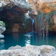
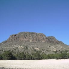
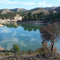
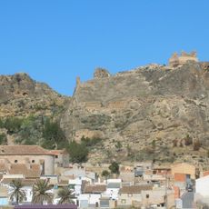
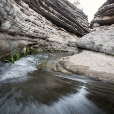
Cañón de los Almadenes is a canyon carved by the Segura River, featuring towering rock walls that exceed 100 meters in height at certain points. The formation creates a natural corridor spanning several kilometers with accessible trails and deep water pools.

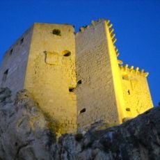
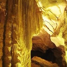
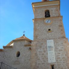
Human settlement in the canyon dates back to Paleolithic times, as evidenced by discoveries in La Serreta Cave which show continuous occupation. Cave paintings from multiple periods reveal the long history of human presence within these rock formations.

The canyon forms part of a Special Protection Area for Birds within the Natura 2000 network, supporting the preservation of regional wildlife species.

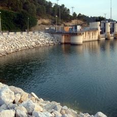
Starting from Cieza offers multiple entry points with established hiking trails leading into the canyon system. Water levels vary by season, so checking conditions before visiting helps ensure a better experience.

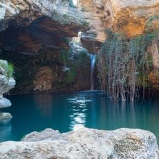
Within the canyon lies the Gorgotón Spring, which releases warm water year-round at a consistent temperature. It stands as the only thermal spring of its kind in the entire Murcia region.

The community of curious travelers

AroundUs brings together thousands of curated places, local tips, and hidden gems, enriched daily by 60,000 contributors worldwide.

Start exploring
Location
Location
GPS coordinates
38.23873,-1.58774
Latest update
December 6, 2025 17:42
Natural and historical sites in Murcia

The Murcia region combines natural landscapes with historical sites from different periods. The Salto del Usero natural pool in Bullas, the beaches of Calblanque Natural Area, and the Almadenes gorge near Cieza demonstrate the geological variety of the region. The coast offers sheltered coves like...

« Cañón de los Almadenes - Natural canyon and water formation in Region of Murcia, Spain » is provided by Around Us (aroundus.com). Images and texts are derived from Wikimedia project under a Creative Commons license. You are allowed to copy, distribute, and modify copies of this page, under the conditions set by the license, as long as this note is clearly visible.

Discover hidden gems everywhere you go!

From secret cafés to breathtaking viewpoints, skip the crowded tourist spots and find places that match your style. Our app makes it easy with voice search, smart filtering, route optimization, and insider tips from travelers worldwide. Download now for the complete mobile experience.

Around Us App Screenshot

A unique approach to discovering new places

Le Figaro

All the places worth exploring

France Info

A tailor-made excursion in just a few clicks

20 Minutes

Around Us
Travel Guide & Maps
Download

Send to your phone

QR Code
1

Open the camera app on your mobile.

2

Point at the QR code with your camera. A notification will appear.

3

Tap the notification to open the link.