Enable Location

We need your location to show you interesting places around you

Discover nearby places

Find interesting locations and hidden gems around you

Precise directions

Get accurate directions and distances to places

Your location is never shared with other users. It's only used when you tap the location button.

Sierra del Eje

Log in to your account

Start exploring — it's free

Trusted by 63,089 travelers worldwide

Continue with Google
Continue with Apple
or

We will send you a code to connect

By continuing, you accept our Terms and Conditions and our Privacy Policy

Check your inbox

We've sent a pincode in your inbox. Please enter the code below.

Sierra del Eje
Discussion Reviews 1 Photos
1.4k Popularity

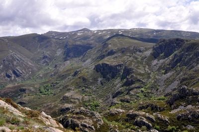
Sierra del Eje, Mountain and protected site in Ourense province, Spain.

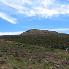
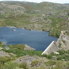
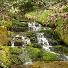
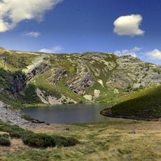
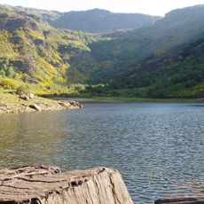
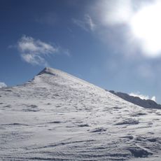
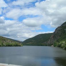
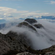
Sierra del Eje is a mountain within the Macizo de Peña Trevinca range in eastern Galicia, rising to about 2100 meters and providing a large natural space with varied habitats. The terrain features meadows, rock faces, and slopes that spread between neighboring valleys.

The mountain area has been managed by communities for generations, with pastoral economy as the main activity and animals grazing across the slopes. This long pastoral use shaped the landscape over centuries and created the meadow and settlement patterns visible today.

The mountain villages around this range keep alive traditions rooted in shepherd culture, visible today in local festivals and how people interact with the meadows. This way of life continues to shape the landscape and the seasons in the region.

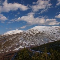
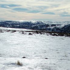
The area is accessible from two nearby municipalities and offers hiking paths suited to different skill levels and physical ability. The best season for walking is from spring through autumn, as winter and early spring can bring snow that affects accessibility.

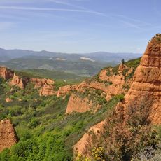
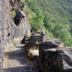
Slate quarries cut into the slopes have provided work for local people over the years and left visible marks on parts of the mountain. This extractive activity is woven into the economic life of the surrounding communities.

The community of curious travelers

AroundUs brings together thousands of curated places, local tips, and hidden gems, enriched daily by 60,000 contributors worldwide.

Start exploring
Location
Elevation above the sea
2,127 m
Part of
Macizo de Peña Trevinca
GPS coordinates
42.24521,-6.79682
Latest update
December 14, 2025 16:41
Reviews
Share your experience

No review yet

Discussions
Start a discussion...

No discussion yet

« Sierra del Eje - Mountain and protected site in Ourense province, Spain » is provided by Around Us (aroundus.com). Images and texts are derived from Wikimedia project under a Creative Commons license. You are allowed to copy, distribute, and modify copies of this page, under the conditions set by the license, as long as this note is clearly visible.

Discover hidden gems everywhere you go!

From secret cafés to breathtaking viewpoints, skip the crowded tourist spots and find places that match your style. Our app makes it easy with voice search, smart filtering, route optimization, and insider tips from travelers worldwide. Download now for the complete mobile experience.

Around Us App Screenshot

A unique approach to discovering new places

Le Figaro

All the places worth exploring

France Info

A tailor-made excursion in just a few clicks

20 Minutes

Around Us
Travel Guide & Maps
Download

Send to your phone

QR Code
1

Open the camera app on your mobile.

2

Point at the QR code with your camera. A notification will appear.

3

Tap the notification to open the link.