Enable Location

We need your location to show you interesting places around you

Discover nearby places

Find interesting locations and hidden gems around you

Precise directions

Get accurate directions and distances to places

Your location is never shared with other users. It's only used when you tap the location button.

Moncalvo

Log in to your account

Start exploring — it's free

Trusted by 62,131 travelers worldwide

Continue with Google
Continue with Apple
or

We will send you a code to connect

By continuing, you accept our Terms and Conditions and our Privacy Policy

Check your inbox

We've sent a pincode in your inbox. Please enter the code below.

Moncalvo

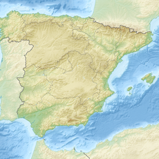
Moncalvo, Mountain summit in Sierra Segundera, Spain

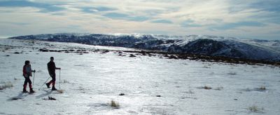
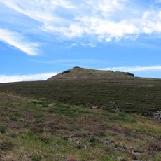
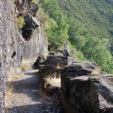
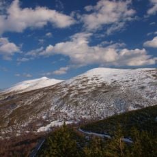
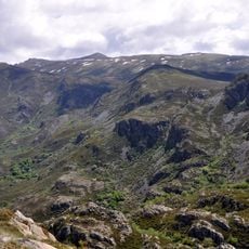
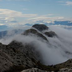
Moncalvo is a mountain summit in the Sierra Segundera that reaches about 2,043 meters and forms part of the Galaico-Leonés massif. The landscape features exposed ridges, rocky slopes, and sparse vegetation typical of this high-altitude zone.

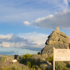
The summit served as an important surveying point for Spain's mapping efforts and supported accurate cartography of the region across generations. This geodetic role established the peak as a recognized reference landmark.

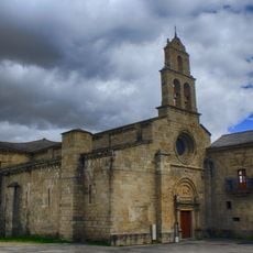
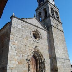
Local shepherds maintain traditional grazing practices on the mountain slopes, continuing centuries-old pastoral traditions in the Zamora province.

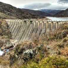
Reaching the summit requires a suitable vehicle to navigate the N-525 road from Porto and then rough dirt tracks toward the Segundera dam. The terrain is challenging and conditions can change quickly, especially during wet weather.

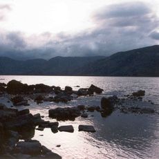
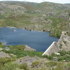
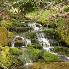
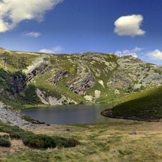
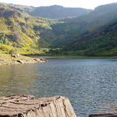
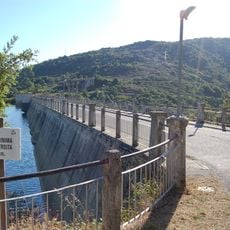
The summit sits near several mountain lakes such as Laguna de Lacillo and the Herbosas lakes, forming a network of high-altitude water features across the zone. These water bodies stand out for their elevation and show the range of aquatic landscapes in this mountain area.

The community of curious travelers

AroundUs brings together thousands of curated places, local tips, and hidden gems, enriched daily by 60,000 contributors worldwide.

Start exploring
Elevation above the sea
2,043.696 m
GPS coordinates
42.19819,-6.80889
Latest update
December 14, 2025 18:41
« Moncalvo - Mountain summit in Sierra Segundera, Spain » is provided by Around Us (aroundus.com). Images and texts are derived from Wikimedia project under a Creative Commons license. You are allowed to copy, distribute, and modify copies of this page, under the conditions set by the license, as long as this note is clearly visible.

Discover hidden gems everywhere you go!

From secret cafés to breathtaking viewpoints, skip the crowded tourist spots and find places that match your style. Our app makes it easy with voice search, smart filtering, route optimization, and insider tips from travelers worldwide. Download now for the complete mobile experience.

Around Us App Screenshot

A unique approach to discovering new places

Le Figaro

All the places worth exploring

France Info

A tailor-made excursion in just a few clicks

20 Minutes

Around Us
Travel Guide & Maps
Download

Send to your phone

QR Code
1

Open the camera app on your mobile.

2

Point at the QR code with your camera. A notification will appear.

3

Tap the notification to open the link.