Playa de San Pedro de La Ribera, Protected beach in Soto de Luiña, Spain
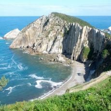
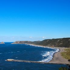
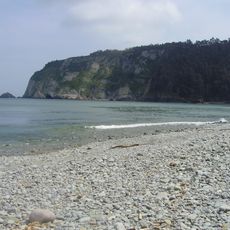
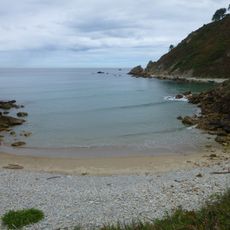
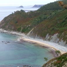
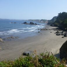
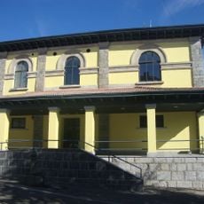
Playa de San Pedro de La Ribera is a shell-shaped beach in the council of Cudillero, belonging to Soto de Luiña, about 450–460 m long and 30 m wide on average, with fine golden sand. The Esqueiro river, fed by the Llantero and El Panizal, reaches the sea at the beach. A service building stands on the sand, and a medieval necropolis lies beneath its ground floor.
A medieval necropolis lies beneath the service building and points to ancient settlements in this coastal area of Asturias. These archaeological remains show that the region has been inhabited for centuries.
Local fishermen work at both ends of the beach during low tide using methods passed down through generations. This practice remains visible in daily life and connects the place to regional fishing traditions.
A road from the centre of Soto de Luiña runs about two kilometres to the beach, descending to sea level on a flat, straightforward route; access is on foot or by car. The beach has a service building, camping, showers, green areas, parking and lifeguard cover, with restaurants a little further away. At low tide the ends of the beach offer good fishing spots.
At the eastern end of the beach stands the Punta de La Garita, topped by the remains of a castro hillfort settlement. Bathers rarely climb to it, yet the site shows the coast was fortified long before tourism arrived. The beach itself is rated Category 1 for surfing.
The community of curious travelers
AroundUs brings together thousands of curated places, local tips, and hidden gems, enriched daily by 94,476 contributors worldwide.