Famara, mountains
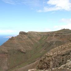
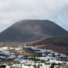
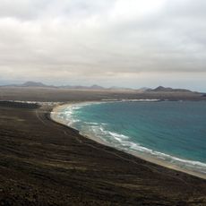
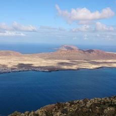
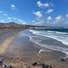
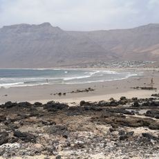
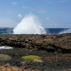
Famara is a mountain system on the north coast of Lanzarote with cliffs that plunge over 600 meters into the Atlantic Ocean. The range stretches roughly 30 kilometers along the shoreline, displaying a wild volcanic landscape with bare slopes facing the sea and green fields toward the interior.
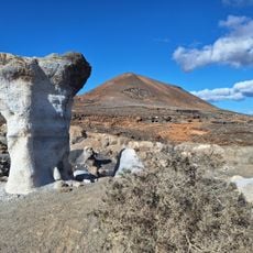
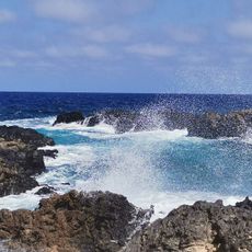
Famara was shaped millions of years ago during the Miocene period by volcanic eruptions that created the basalt cliffs visible today. These ancient lava formations stand as testimony to Lanzarote's powerful volcanic past and continue to define the landscape.
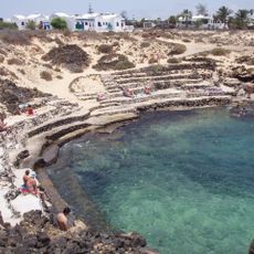
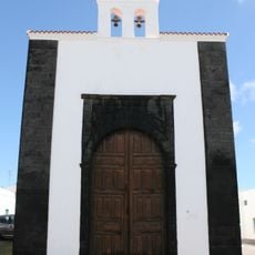
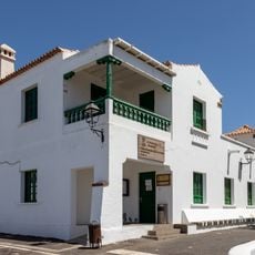
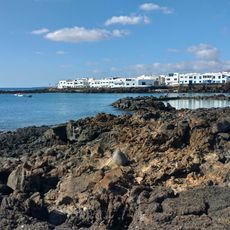
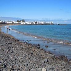
The name Famara comes from the Guanche language, spoken by the first inhabitants of the Canary Islands. The area is seen by local people as a place where land and sea meet, where fishing traditions and simple village life continue much as they have for generations.
Driving from Haría via the LZ-10 road is the easiest way to reach the viewpoints, with parking available at several stops along the route. Wear comfortable shoes, bring plenty of water, and pack a windbreaker, as conditions can be breezy and paths are mostly unpaved.
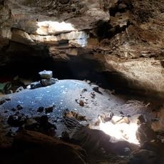
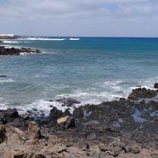
The old Camino de los Gracioseros was once the path people walked from La Graciosa to Haría, and hikers can still follow sections of this cobbled trail today. Ancient shepherd shelters and lime kilns scattered across the area recall the region's former economy and way of life.
The community of curious travelers
AroundUs brings together thousands of curated places, local tips, and hidden gems, enriched daily by 60,000 contributors worldwide.