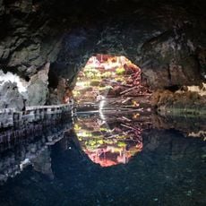
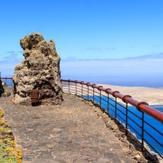
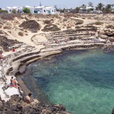
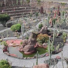
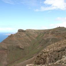
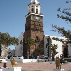
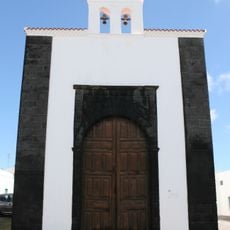
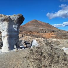
Haría, Municipality in Spain
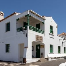
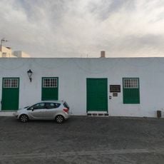
Haría is a small town in the northern part of Lanzarote island in Spain. It sits in a valley and features white houses with simple roofs, green hills, scattered farms, and narrow streets with local shops and cozy cafes throughout.
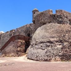
After the Spanish conquest in 1402, people settled in the valley because the land was fertile and good for farming. The town grew despite several pirate attacks, including a 1586 raid by an Algerian pirate captain who burned crops and took animals.
The town's name possibly comes from 'Faria', the ancient name for the valley, or from an Arab word meaning spring or water source. Local people have kept traditional crafts alive, including making small decorative rosettes from fabric and lace, as well as weaving baskets and hats from nearby palm leaves.
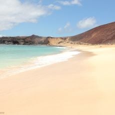
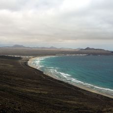
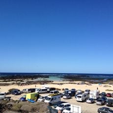
You can reach Haría easily by car or bus from the main towns on Lanzarote, as the roads are well-maintained. The town works well as a base for exploring the surrounding area and resting after busy days of sightseeing.
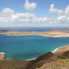
The town is known as the 'Town of a Hundred Curves' because of the winding roads that lead in and out of the valley, offering scenic views. Traditional wrestling called Lucha Canaria has been popular here since the 1960s and takes place in a small local arena.
The community of curious travelers
AroundUs brings together thousands of curated places, local tips, and hidden gems, enriched daily by 60,000 contributors worldwide.