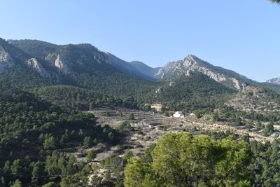
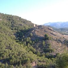
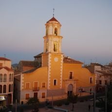
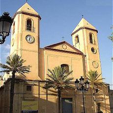
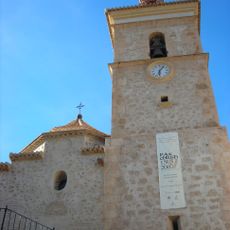
Sierra de Ricote, Mountain range in Region of Murcia, Spain.
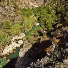
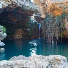
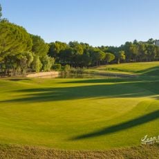
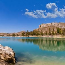
Sierra de Ricote is a mountain range in the Region of Murcia with limestone formations and several marked hiking routes across its slopes. The terrain varies from gentle valleys to rocky ridges, offering different ways to explore the landscape.
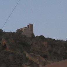
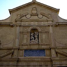
This mountain range was the final refuge of the Moorish population in the Spanish Levante before their expulsion in the early 1600s. The event ended centuries of Islamic presence in the region.
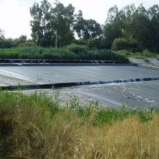
The valley surrounding this mountain range still practices traditional Islamic irrigation methods, with old water wheels and canals that feed fruit orchards and citrus groves that locals maintain today.
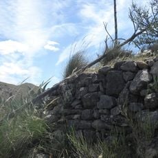
Access is available through multiple marked trails with varying difficulty levels, from easy to demanding routes. Start early and bring sturdy footwear, as the paths have rocky sections and can be steep in places.
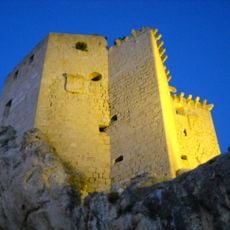
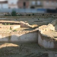
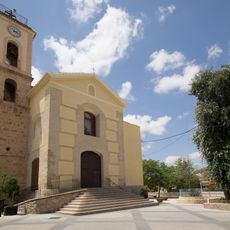
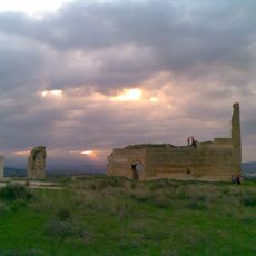
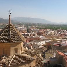
This mountain range contains the archaeological site of Medina Siyasa, which preserves intact street layouts and homes from medieval Islamic Spain. The remains reveal how people lived in a Moorish settlement during that era.
The community of curious travelers
AroundUs brings together thousands of curated places, local tips, and hidden gems, enriched daily by 60,000 contributors worldwide.