Enable Location

We need your location to show you interesting places around you

Discover nearby places

Find interesting locations and hidden gems around you

Precise directions

Get accurate directions and distances to places

Your location is never shared with other users. It's only used when you tap the location button.

Log in to your account

Start exploring — it's free

Trusted by 62,407 travelers worldwide

Continue with Google
Continue with Apple
or

We will send you a code to connect

By continuing, you accept our Terms and Conditions and our Privacy Policy

Check your inbox

We've sent a pincode in your inbox. Please enter the code below.

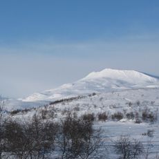
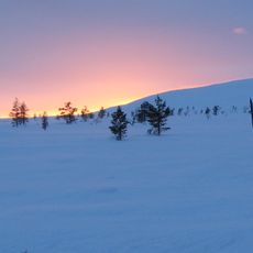
Stuorrahanoaivi, tunturi ja Struven ketjun mittauspiste Enontekiöllä Lapissa

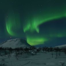
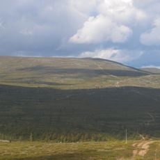
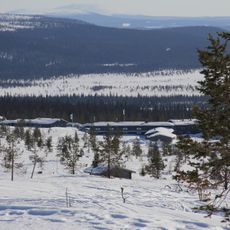
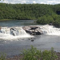
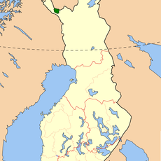
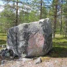
Stuorrahanoaivi is a flat-topped hill in the Lapland wilderness of Enontekiö, Finland, rising to about 600 meters above sea level. On its summit stands a survey marker from 1852, a simple metal pole that is part of the Struve Geodetic Arc, a line of measurement points stretching across Europe and recognized as a UNESCO World Heritage Site.

The survey marker was established in 1852 as part of scientific efforts to measure the Earth's shape, with a symbol engraved in the rock marking the measurement location. The original point was lost in 1895, but a central peg was later placed, and the site remains a testament to 19th-century geodetic work in this remote region.

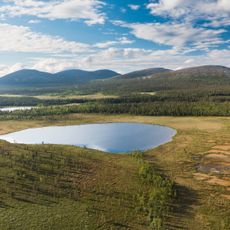
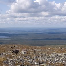
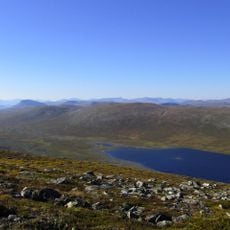
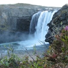
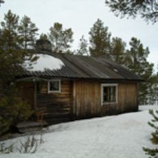
The site is extremely remote and requires wilderness hiking experience, with unmarked trails and challenging terrain that demands trekking skills and good navigation abilities. Small huts are available nearby for overnight stays, and visitors should carry supplies for multiple days and prepare for changeable weather conditions.

Old remains of a triangulation tower and a stone cairn nearby suggest that earlier surveyors used these features as landmarks during their 19th-century work. These stone witnesses form a fascinating ensemble of tools from the history of scientific cartography.

The community of curious travelers

AroundUs brings together thousands of curated places, local tips, and hidden gems, enriched daily by 60,000 contributors worldwide.

Start exploring
Location
Part of
Struve Geodetic Arc
GPS coordinates
68.68244,22.74593
Latest update
February 9, 2026 11:07
« Stuorrahanoaivi - tunturi ja Struven ketjun mittauspiste Enontekiöllä Lapissa » is provided by Around Us (aroundus.com). Images and texts are derived from Wikimedia project under a Creative Commons license. You are allowed to copy, distribute, and modify copies of this page, under the conditions set by the license, as long as this note is clearly visible.

Discover hidden gems everywhere you go!

From secret cafés to breathtaking viewpoints, skip the crowded tourist spots and find places that match your style. Our app makes it easy with voice search, smart filtering, route optimization, and insider tips from travelers worldwide. Download now for the complete mobile experience.

Around Us App Screenshot

A unique approach to discovering new places

Le Figaro

All the places worth exploring

France Info

A tailor-made excursion in just a few clicks

20 Minutes

Around Us
Travel Guide & Maps
Download

Send to your phone

QR Code
1

Open the camera app on your mobile.

2

Point at the QR code with your camera. A notification will appear.

3

Tap the notification to open the link.