
Pyhäkoski, watercourse in Finland
Location: Muhos
Elevation above the sea: 81 m
Part of: Oulujoen ja Sotkamon reitin voimalaitokset
GPS coordinates: 64.84413,26.04181
Latest update: March 20, 2025 13:00

Koitelinkoski
30.1 km
Turkansaari Open Air Museum
19.6 km
Päivärinne Sanatorium
9.4 km
Oulujoki Church
28.9 km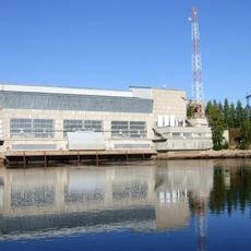
Montta power plant
2.9 km
Muhos Church
4.1 km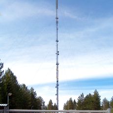
Oulu TV Mast
23.2 km
Kastelli community centre
30.1 km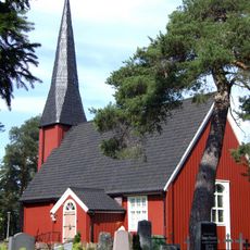
Kempele Old Church
27.5 km
Maikkulan kartano
26 km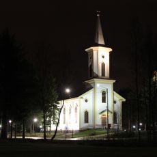
Oulunsalo Church
31.1 km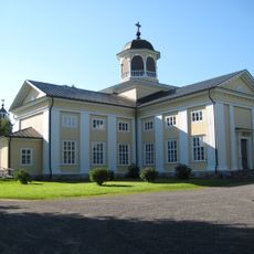
Liminka Church
30.4 km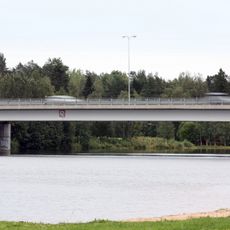
Erkkola Bridge
30.9 km
Nuijamiesten lava
21.7 km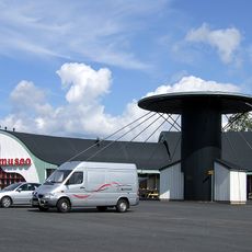
Oulu Automobile Museum
28.7 km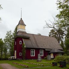
Temmes Church
28.3 km
Oulunsuu (area)
30.4 km
Turkansaari Church
19.6 km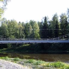
Ponkila Bridge
4.3 km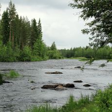
Juopulinkoski
21.8 km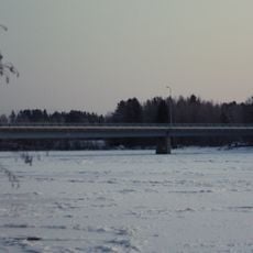
Sanki Bridge
21.5 km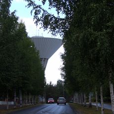
Maikkula water tower
28.6 km
Kempelehalli
27.8 km
Jemma-patsas
4.7 km
Tyrnävä Museum
20.9 km
Zemppi Areena
24.5 km
Pyhän Matteuksen kappeli
24.7 km
Laukka Bridge
6.3 kmReviews
Visited this place? Tap the stars to rate it and share your experience / photos with the community! Try now! You can cancel it anytime.
Discover hidden gems everywhere you go!
From secret cafés to breathtaking viewpoints, skip the crowded tourist spots and find places that match your style. Our app makes it easy with voice search, smart filtering, route optimization, and insider tips from travelers worldwide. Download now for the complete mobile experience.

A unique approach to discovering new places❞
— Le Figaro
All the places worth exploring❞
— France Info
A tailor-made excursion in just a few clicks❞
— 20 Minutes