
Mellangård, historiallinen ja pronssikautinen hautaröykkiö ja rajamerkki Kemiönsaaressa
Location: Kimitoön
Part of: political border
GPS coordinates: 60.11082,22.63361
Latest update: June 2, 2025 23:25
Mathildedal
19.3 km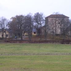
Qvidja
24.4 km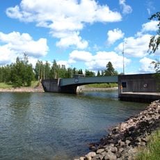
Strömma Canal
15.6 km
Teijo National Park
22 km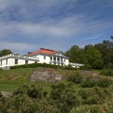
Söderlångvik manor
14.1 km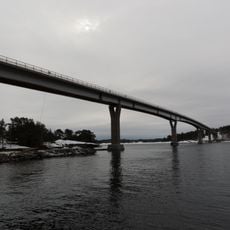
Lövö Bridge
17.2 km
Karuna Church
18.3 km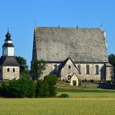
Sauvo Church
26 km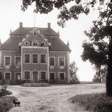
Karuna manor
18.7 km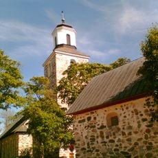
Saint Andreas Church in Kimito
9 km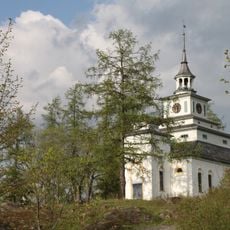
Teijo Church
24 km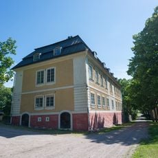
Teijo manor
24.2 km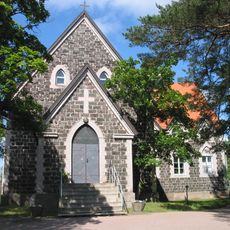
Dalsbruk Church
12.2 km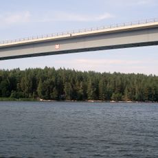
Rungonsalmi Bridge
13.3 km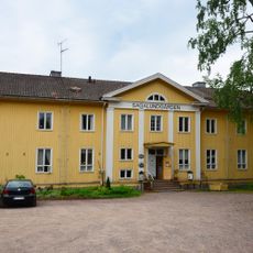
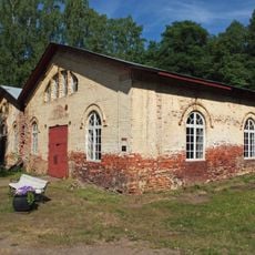
Sagalund
7.2 km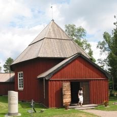
Västanfjärd Old Church
7.2 km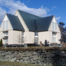
Bromarv Church
26 km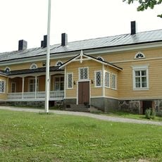
Hirvilahti Manor
21.9 km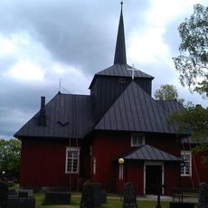
Hiittinen Church
25.2 km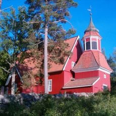
Angelniemi church
25.7 km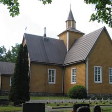
Dragsfjärd Church
10 km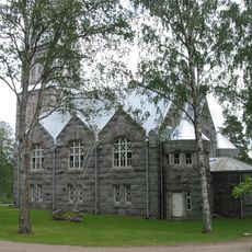
Västanfjärd new church
7.1 km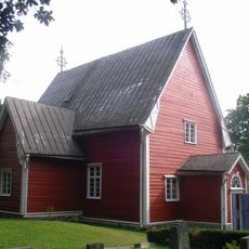
Särkisalo Church
17.7 km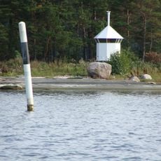
Kuggör lighthouse
21 km
Galtarna
21.6 km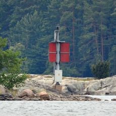
Kalholm light
25.2 km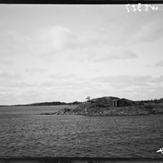
Idskär lighthouse
22.5 km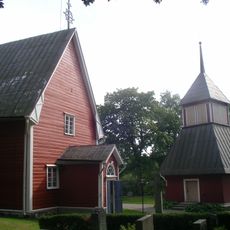
Belfry of Särkisalo Church
17.7 kmReviews
Visited this place? Tap the stars to rate it and share your experience / photos with the community! Try now! You can cancel it anytime.
Discover hidden gems everywhere you go!
From secret cafés to breathtaking viewpoints, skip the crowded tourist spots and find places that match your style. Our app makes it easy with voice search, smart filtering, route optimization, and insider tips from travelers worldwide. Download now for the complete mobile experience.

A unique approach to discovering new places❞
— Le Figaro
All the places worth exploring❞
— France Info
A tailor-made excursion in just a few clicks❞
— 20 Minutes