
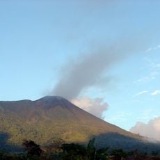
South Ibu, district in West Halmahera Regency, North Maluku Province, Indonesia
Location: West Halmahera
Elevation above the sea: 738 m
GPS coordinates: 1.36046,127.53136
Latest update: March 30, 2025 09:42
Gamalama
65.2 km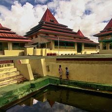
Sultan of Ternate Mosque
64.6 km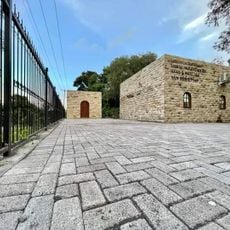
Sha'ar Hashamayim Synagogue (Tondano)
292.1 km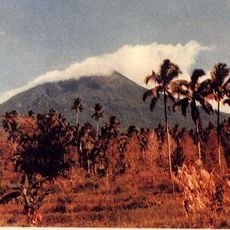
Mount Klabat
278.5 km
Tangkoko Batuangus Nature Reserve
261.6 km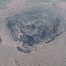
Gunung Dukono
54 km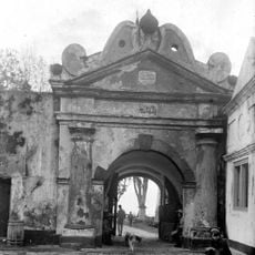
Fort Oranje
65.2 km
Mount Mahawu
297.5 km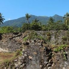
Fort Kastella
71 km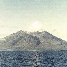
Makian
115.8 km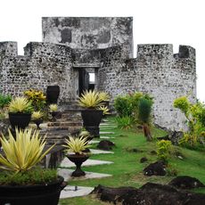
Fort Tolukko
62.9 km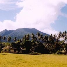
Mount Ibu
18.2 km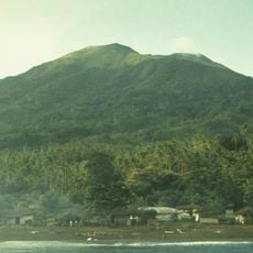
Mount Gamkonora
2.2 km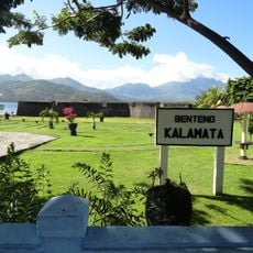
Fort Kalamata
68.9 km
Mount Tondano
301 km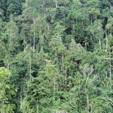
Aketajawe-Lolobata National Park
85.1 km
Jailolo
32.9 km
Ruang
262.2 km
Ban Hin Kiong Temple
299.3 km
Mount Tongkoko
260.5 km
Amasing Hill
210.7 km
Pantai Sulamadaha
59.5 km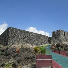
Fort Tidore
79.2 km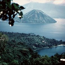
Maitara
74 km
Tompaluan
304 km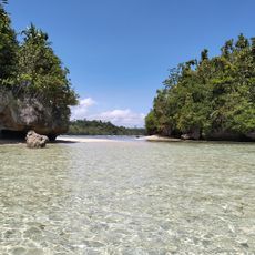
Pantai Nunuhu
162 km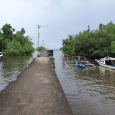
Dermaga Pantai Bahowo
302.8 km
Fort Mariecque
79.1 kmReviews
Visited this place? Tap the stars to rate it and share your experience / photos with the community! Try now! You can cancel it anytime.
Discover hidden gems everywhere you go!
From secret cafés to breathtaking viewpoints, skip the crowded tourist spots and find places that match your style. Our app makes it easy with voice search, smart filtering, route optimization, and insider tips from travelers worldwide. Download now for the complete mobile experience.

A unique approach to discovering new places❞
— Le Figaro
All the places worth exploring❞
— France Info
A tailor-made excursion in just a few clicks❞
— 20 Minutes