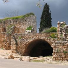
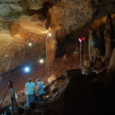
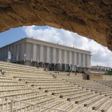
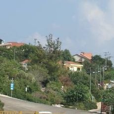
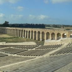
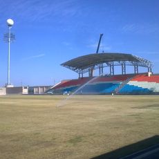
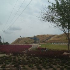
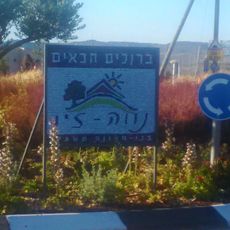
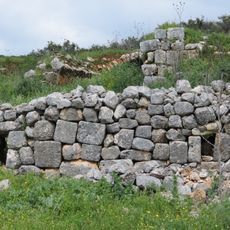
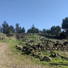
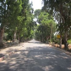
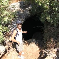
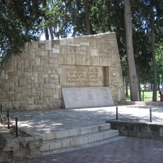
Julis, human settlement in Israel
Location: Acre Subdistrict
Elevation above the sea: 122 m
GPS coordinates: 32.94389,35.18667
Latest update: March 7, 2025 20:36
Klil
4.4 km
HaYonim Cave
4 km
Tel Kabri
8.4 km
Yehi'am Fortress National Park
6.5 km
Hospitaller commandery of Saint-Jean-d'Acre
11.4 km
Migdal Tefen
9 km
Mansion of Bahjí
8.8 km
Manot Cave
10.2 km
Ghetto Fighters' House
8.7 km
Gilon
6.5 km
Acre aqueduct
8.7 km
Acre Municipal Stadium
10.2 km
Tel Akko
9.5 km
Neve Ziv
9.3 km
Tell Keisan
8.6 km
El Mona Garden
624 m
Open Museum Tefen
9.1 km
Yechiam Convoy Memorial
7.3 km
Khirbet Mehoz
7.8 km
Beit Liberman
10.1 km
German-Speaking Jewry Heritage Museum Tefen
9 km
חורבת ראש זית
8.2 km
שדרת האקליפטוסים בבוסתן הגליל
9.9 km
Tefen cave
6.5 km
Atelier Shemi
9 km
War of Independence Memorial in Acre
10.4 km
Kabri gallery
9.4 km
The Kupferman Collection House
8.6 kmReviews
Visited this place? Tap the stars to rate it and share your experience / photos with the community! Try now! You can cancel it anytime.
Discover hidden gems everywhere you go!
From secret cafés to breathtaking viewpoints, skip the crowded tourist spots and find places that match your style. Our app makes it easy with voice search, smart filtering, route optimization, and insider tips from travelers worldwide. Download now for the complete mobile experience.
A unique approach to discovering new places❞
— Le Figaro
All the places worth exploring❞
— France Info
A tailor-made excursion in just a few clicks❞
— 20 Minutes