Hurfeish, human settlement in Israel
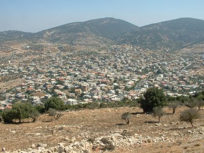
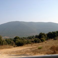
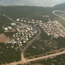
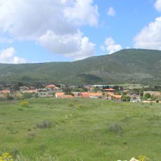
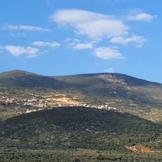
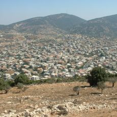
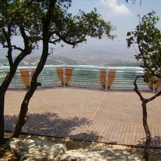
Hurfeish is a town in the Acre region built on a hillside with stone construction throughout its layout. The settlement has multiple wells and springs that serve as water sources, while surrounding lands are used primarily for cultivation of figs, olives, and grains.
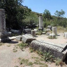
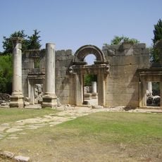
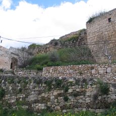
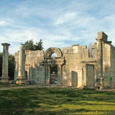
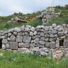
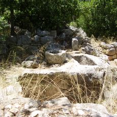
The settlement has a long history stretching back to antiquity, evidenced by archaeological finds of mosaics and Greek inscriptions. During medieval times it was known to Crusaders and later held by the Teutonic Knights, before appearing in Ottoman tax records of the late 1500s.
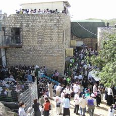
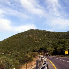
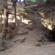
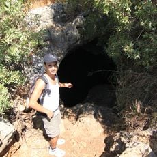
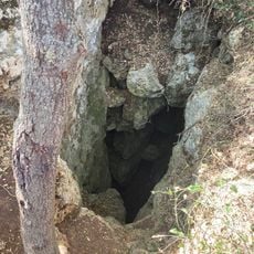
Hurfeish is today predominantly home to Druze people, who make up over 95 percent of the population and shape daily life in the community. The town holds religious importance through the cave of the prophet Sabalan on Mount Zvul, a sacred site that remains central to local faith and identity.
When visiting, be prepared for quiet narrow streets that require a leisurely pace to explore the settlement properly. Wear comfortable shoes and bring water, as the terrain is hilly and shaded rest areas are limited throughout the town.
A notable feature is the cave of the prophet Sabalan atop Mount Zvul, where legend tells of a Druze prophet who sought refuge and built a teaching room for his faith. Few visitors are aware of this site, yet it holds deep significance for local religious history and the community.
The community of curious travelers
AroundUs brings together thousands of curated places, local tips, and hidden gems, enriched daily by 60,000 contributors worldwide.