Enable Location

We need your location to show you interesting places around you

Discover nearby places

Find interesting locations and hidden gems around you

Precise directions

Get accurate directions and distances to places

Your location is never shared with other users. It's only used when you tap the location button.

Log in to your account

Start exploring — it's free

Trusted by 61,526 travelers worldwide

Continue with Google
Continue with Apple
or

We will send you a code to connect

By continuing, you accept our Terms and Conditions and our Privacy Policy

Check your inbox

We've sent a pincode in your inbox. Please enter the code below.

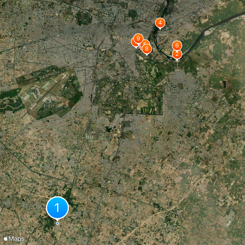
Agra district, Administrative district in northern Uttar Pradesh, India.

Description

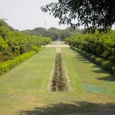
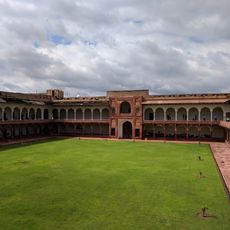
Agra district lies in northern Uttar Pradesh along the Yamuna River and comprises six administrative divisions with numerous significant monuments throughout the area. The region spans flat to gently rolling terrain and is crisscrossed by major transportation routes.

History

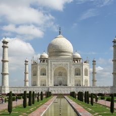
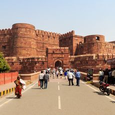
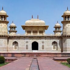
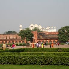
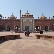
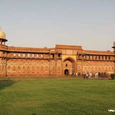
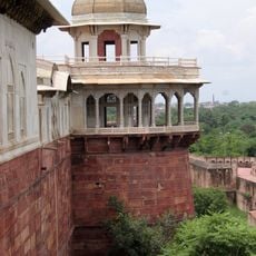
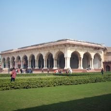
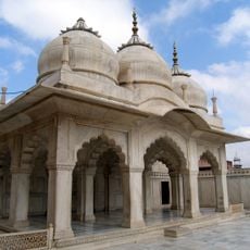
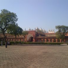
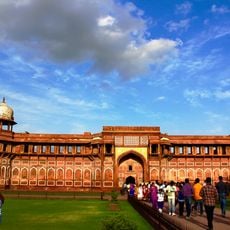
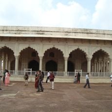
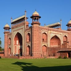
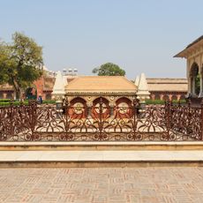
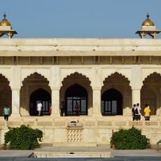
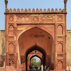
The district became a center of Mughal power in the 16th century when emperors like Babur, Akbar, and Shah Jahan shaped the region. Most of the structures that define the area today date from this transformative period.

Culture

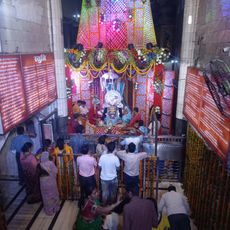
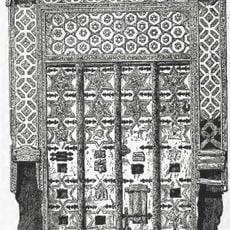
The district is known for marble craftsmanship passed down through generations, with artisans using traditional techniques to create stonework that reflects the region's Persian heritage. Local festivals and markets celebrate these skills and keep the architectural traditions alive in everyday life.

Practical

The district connects to major cities via National Highway 19 and has railway stations and airport access. Visitors should plan adequate time to explore the scattered attractions across the region.

Did you know?

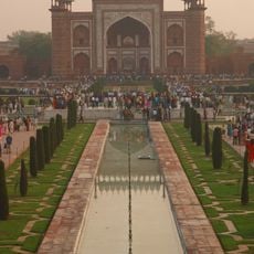
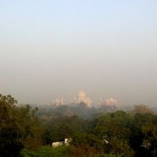
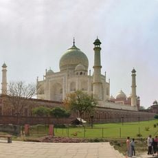
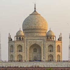
The district houses three UNESCO World Heritage sites that together form a triangle of Mughal architecture. This concentration makes the region an unusual cluster of world-class heritage sites within close proximity.

Location
Capital city
Agra
Elevation above the sea
169 m
Shares border with
Hathras district
GPS coordinates
27.08333,77.96667
Latest update
December 19, 2025 22:07

AroundUs brings together thousands of curated places, local tips, and hidden gems, enriched daily by 60,000 contributors worldwide. Discover all places nearby (Agra division).

« Agra district - Administrative district in northern Uttar Pradesh, India » is provided by Around Us (aroundus.com). Images and texts are derived from Wikimedia project under a Creative Commons license. You are allowed to copy, distribute, and modify copies of this page, under the conditions set by the license, as long as this note is clearly visible.

Discover hidden gems everywhere you go!

From secret cafés to breathtaking viewpoints, skip the crowded tourist spots and find places that match your style. Our app makes it easy with voice search, smart filtering, route optimization, and insider tips from travelers worldwide. Download now for the complete mobile experience.

Around Us App Screenshot

A unique approach to discovering new places

Le Figaro

All the places worth exploring

France Info

A tailor-made excursion in just a few clicks

20 Minutes

Around Us
Travel Guide & Maps
Download

Send to your phone

QR Code
1

Open the camera app on your mobile.

2

Point at the QR code with your camera. A notification will appear.

3

Tap the notification to open the link.