Enable Location

We need your location to show you interesting places around you

Discover nearby places

Find interesting locations and hidden gems around you

Precise directions

Get accurate directions and distances to places

Your location is never shared with other users. It's only used when you tap the location button.

Shimoga

Log in to your account

Start exploring — it's free

Trusted by 61,908 travelers worldwide

Continue with Google
Continue with Apple
or

We will send you a code to connect

By continuing, you accept our Terms and Conditions and our Privacy Policy

Check your inbox

We've sent a pincode in your inbox. Please enter the code below.

Shimoga, Administrative division in Karnataka, India

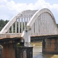
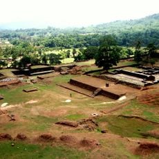
Shimoga is an administrative district in Karnataka state that covers the Malnad region and includes seven taluks. The district sits between dense forests and farming plains, with rivers like the Tunga flowing through the area.

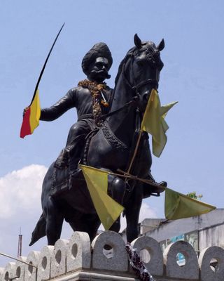
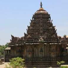
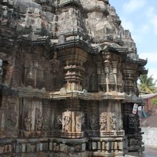
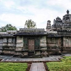
The region once formed the southern edge of the Mauryan Empire under Emperor Ashoka. Later, the Kadambas, Chalukyas, and Vijayanagara rulers governed the area in succession, each leaving architectural and cultural marks.

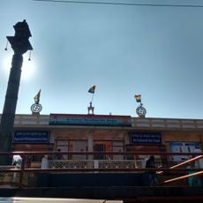
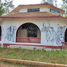
The name comes either from Shiva-Mukha, linking the deity to the Tunga River, or from Sihi-Mogge, meaning sweet pot. Both origins reflect the religious importance of the region and its agricultural richness, which remain part of local identity today.

Regular bus services and train routes connect the district's taluks to Shimoga city and neighboring regions. An airport roughly 13 kilometers (8 miles) south of the city helps visitors coming from farther away.

The seven taluks carry individual names like Soraba, Sagara, and Hosanagar, each managing a defined area within the larger district. This division simplifies local administration and gives each zone a clear administrative identity.

The community of curious travelers

AroundUs brings together thousands of curated places, local tips, and hidden gems, enriched daily by 60,000 contributors worldwide.

Start exploring
Location
Elevation above the sea
569 m
GPS coordinates
13.91670,75.56670
Latest update
December 14, 2025 21:49
« Shimoga - Administrative division in Karnataka, India » is provided by Around Us (aroundus.com). Images and texts are derived from Wikimedia project under a Creative Commons license. You are allowed to copy, distribute, and modify copies of this page, under the conditions set by the license, as long as this note is clearly visible.

Discover hidden gems everywhere you go!

From secret cafés to breathtaking viewpoints, skip the crowded tourist spots and find places that match your style. Our app makes it easy with voice search, smart filtering, route optimization, and insider tips from travelers worldwide. Download now for the complete mobile experience.

Around Us App Screenshot

A unique approach to discovering new places

Le Figaro

All the places worth exploring

France Info

A tailor-made excursion in just a few clicks

20 Minutes

Around Us
Travel Guide & Maps
Download

Send to your phone

QR Code
1

Open the camera app on your mobile.

2

Point at the QR code with your camera. A notification will appear.

3

Tap the notification to open the link.