Chest opened
+${chestReward.xp} XP
Explorer
NOUVEAU ×${chestReward.collectible.quantity}
tapez pour fermer
Chest locked

Open chests in the app

Around Us is built for your phone — chests unlock when you walk, explore and capture nearby places.

Enable Location

We need your location to show you interesting places around you

Discover nearby places

Find interesting locations and hidden gems around you

Precise directions

Get accurate directions and distances to places

Your location is never shared with other users. It's only used when you tap the location button.

Log in to your account

Start exploring — it's free

Trusted by 72,953 travelers worldwide

Continue with Google
Continue with Apple
or

We will send you a code to connect

By continuing, you accept our Terms and Conditions and our Privacy Policy

Check your inbox

We've sent a pincode in your inbox. Please enter the code below.

Nabarangpur district
Discussion Reviews Photo
15.2k Popularity

Nabarangpur district, Administrative district in Odisha, India

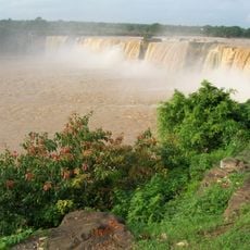
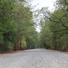
Nabarangpur district is an administrative division in Odisha with a terrain shaped by hills, forests, and river systems running through its landscape. Dense woodland covers much of the north and east, while agricultural land and settlements occupy the southern portions.

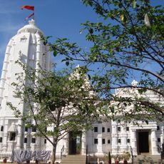
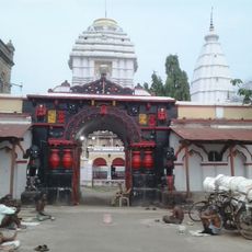
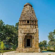
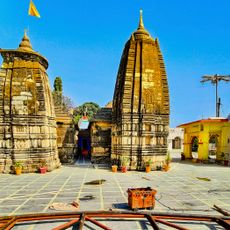
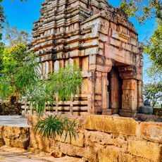
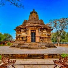
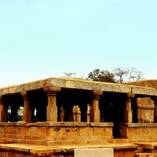
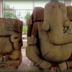
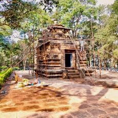
The region experienced rule under various dynasties including the Mauryas, with the Nala dynasty establishing a significant center near Umerkote in the medieval period. These early powers shaped the administrative structure that still influences the area today.

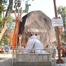
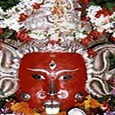
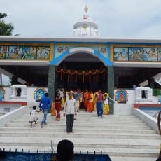
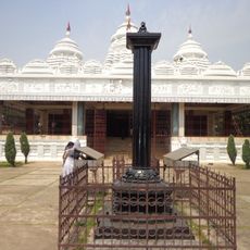
The Gond and Kondh communities maintain strong traditional practices visible in local festivals, music, dance, and handmade crafts sold in markets and villages. These customs shape daily life and social gatherings throughout the region.

The district maintains a network of government hospitals and health centers that provide basic medical services, particularly in rural areas. Roads and pathways can be challenging during the monsoon season, so visitors should plan travel timing accordingly.

A substantial portion of the district is forested land that supports diverse plant and animal life while providing regular rainfall that sustains farming activities. This woodland network sustains both local livelihoods and wildlife populations across seasons.

The community of curious travelers

AroundUs brings together thousands of curated places, local tips, and hidden gems, enriched daily by 60,000 contributors worldwide.

Start exploring
GPS coordinates
19.60962,82.29877
Latest update
December 7, 2025 19:31
Reviews
Share your experience

No review yet

Discussions
Start a discussion...

No discussion yet

« Nabarangpur district - Administrative district in Odisha, India » is provided by Around Us (aroundus.com). Images and texts are derived from Wikimedia project under a Creative Commons license. You are allowed to copy, distribute, and modify copies of this page, under the conditions set by the license, as long as this note is clearly visible.

Discover hidden gems everywhere you go!

From secret cafés to breathtaking viewpoints, skip the crowded tourist spots and find places that match your style. Our app makes it easy with voice search, smart filtering, route optimization, and insider tips from travelers worldwide. Download now for the complete mobile experience.

Around Us App Screenshot

A unique approach to discovering new places

Le Figaro

All the places worth exploring

France Info

A tailor-made excursion in just a few clicks

20 Minutes

Around Us
Travel Guide & Maps
Download

Send to your phone

QR Code
1

Open the camera app on your mobile.

2

Point at the QR code with your camera. A notification will appear.

3

Tap the notification to open the link.