Enable Location

We need your location to show you interesting places around you

Discover nearby places

Find interesting locations and hidden gems around you

Precise directions

Get accurate directions and distances to places

Your location is never shared with other users. It's only used when you tap the location button.

Udhampur district

Log in to your account

Start exploring — it's free

Trusted by 62,492 travelers worldwide

Continue with Google
Continue with Apple
or

We will send you a code to connect

By continuing, you accept our Terms and Conditions and our Privacy Policy

Check your inbox

We've sent a pincode in your inbox. Please enter the code below.

Udhampur district

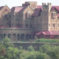
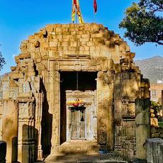
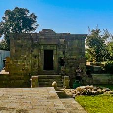
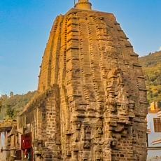
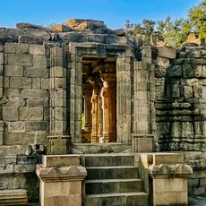
Udhampur district, Administrative district in Jammu division, India.

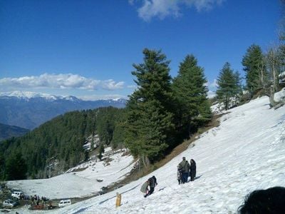
Udhampur district is an administrative region in Jammu division that covers mountainous terrain with elevations ranging from 600 to 3,000 meters. The area is crossed by National Highway 44 and served by a railway station that connects it to surrounding regions.

After India's partition in 1947, the Northern Command headquarters moved from Rawalpindi to Udhampur, giving the region significant military importance. This relocation shaped the district's infrastructure and long-term development.

The district maintains a population of 554,985 residents, with Hinduism practiced by 88 percent and Islam by 11 percent of inhabitants.

The region is divided into eight administrative subdivisions that are well connected by road and rail. Visitors should expect mountainous terrain and plan accordingly with suitable vehicles or extra travel time.

The region is home to a 9.28-kilometer tunnel that provides year-round access between Jammu and Srinagar. This engineering feature remains crucial for connecting the two cities during harsh winter conditions.

The community of curious travelers

AroundUs brings together thousands of curated places, local tips, and hidden gems, enriched daily by 60,000 contributors worldwide.

Start exploring
Location
Capital city
Udhampur
Shares border with
Reasi district
GPS coordinates
33.00000,75.16667
Latest update
December 20, 2025 12:22
« Udhampur district - Administrative district in Jammu division, India » is provided by Around Us (aroundus.com). Images and texts are derived from Wikimedia project under a Creative Commons license. You are allowed to copy, distribute, and modify copies of this page, under the conditions set by the license, as long as this note is clearly visible.

Discover hidden gems everywhere you go!

From secret cafés to breathtaking viewpoints, skip the crowded tourist spots and find places that match your style. Our app makes it easy with voice search, smart filtering, route optimization, and insider tips from travelers worldwide. Download now for the complete mobile experience.

Around Us App Screenshot

A unique approach to discovering new places

Le Figaro

All the places worth exploring

France Info

A tailor-made excursion in just a few clicks

20 Minutes

Around Us
Travel Guide & Maps
Download

Send to your phone

QR Code
1

Open the camera app on your mobile.

2

Point at the QR code with your camera. A notification will appear.

3

Tap the notification to open the link.