Enable Location

We need your location to show you interesting places around you

Discover nearby places

Find interesting locations and hidden gems around you

Precise directions

Get accurate directions and distances to places

Your location is never shared with other users. It's only used when you tap the location button.

Log in to your account

Start exploring — it's free

Trusted by 63,118 travelers worldwide

Continue with Google
Continue with Apple
or

We will send you a code to connect

By continuing, you accept our Terms and Conditions and our Privacy Policy

Check your inbox

We've sent a pincode in your inbox. Please enter the code below.

Kandi community development block
Discussion Reviews Photo
3.3k Popularity

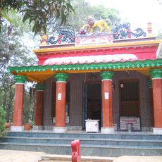
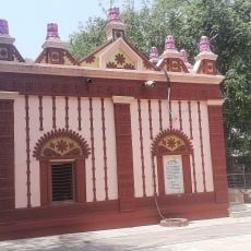
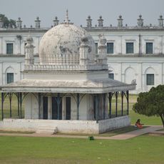
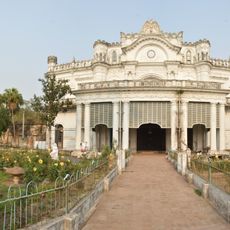
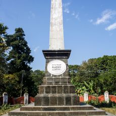
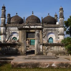
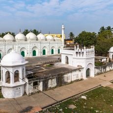
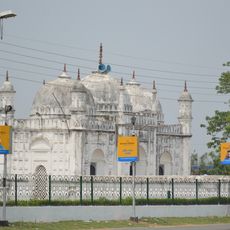
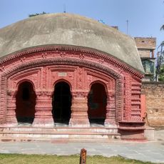
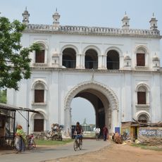
Kandi community development block, Administrative region in West Bengal, India

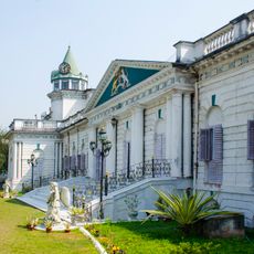
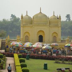
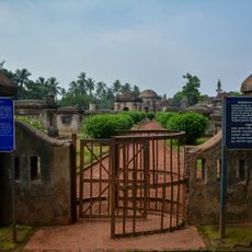
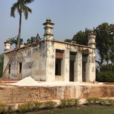
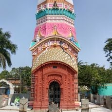
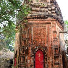
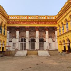
Kandi is a community development block in the Kandi subdivision of West Bengal that covers a substantial rural area. The block comprises around 80 inhabited villages equipped with schools, healthcare facilities, and reliable electricity access.

This administrative area was established as part of India's national rural development initiative that expanded to cover the entire country by 1964. The creation of this block structure proved important for organized management and development of rural communities.

The population of 220,145 residents communicates predominantly in Bengali at 98.65 percent, while Santali speakers constitute 1.23 percent of the linguistic distribution.

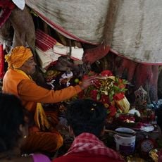
The region is best explored using local transportation as roads connect the villages throughout the area. Visitors should allow time to experience agricultural fields and the rhythm of village life.

The area is known for growing Aman and Boro rice varieties alongside jute, crops that thrive on seasonal water patterns. These farming practices shape daily life and define the visual landscape throughout the region.

The community of curious travelers

AroundUs brings together thousands of curated places, local tips, and hidden gems, enriched daily by 60,000 contributors worldwide.

Start exploring
Elevation above the sea
19 m
Shares border with
Nabagram community development block, Berhampore community development block, Bharatpur I community development block, Burwan community development block, Khargram community development block
GPS coordinates
23.95000,88.03000
Latest update
December 12, 2025 09:03
Reviews
Share your experience

No review yet

Discussions
Start a discussion...

No discussion yet

« Kandi community development block - Administrative region in West Bengal, India » is provided by Around Us (aroundus.com). Images and texts are derived from Wikimedia project under a Creative Commons license. You are allowed to copy, distribute, and modify copies of this page, under the conditions set by the license, as long as this note is clearly visible.

Discover hidden gems everywhere you go!

From secret cafés to breathtaking viewpoints, skip the crowded tourist spots and find places that match your style. Our app makes it easy with voice search, smart filtering, route optimization, and insider tips from travelers worldwide. Download now for the complete mobile experience.

Around Us App Screenshot

A unique approach to discovering new places

Le Figaro

All the places worth exploring

France Info

A tailor-made excursion in just a few clicks

20 Minutes

Around Us
Travel Guide & Maps
Download

Send to your phone

QR Code
1

Open the camera app on your mobile.

2

Point at the QR code with your camera. A notification will appear.

3

Tap the notification to open the link.