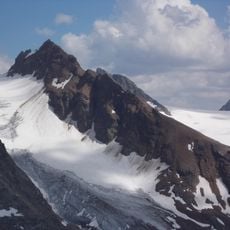
Ochsenkopf, Mountain summit in Samnaun Alps, Austria.
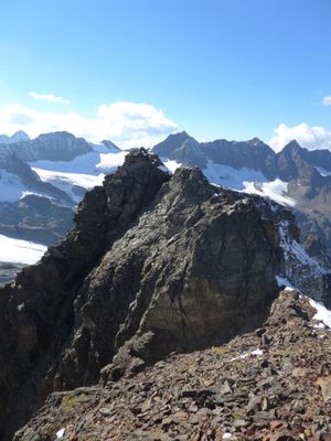
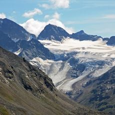
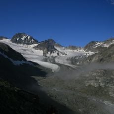
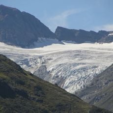
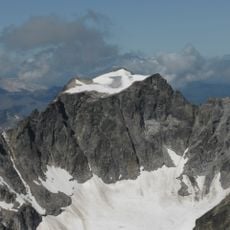
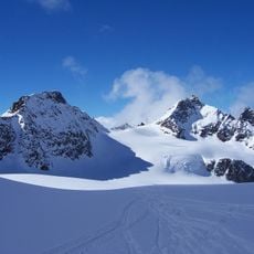
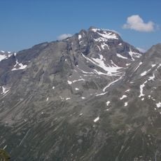
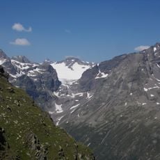
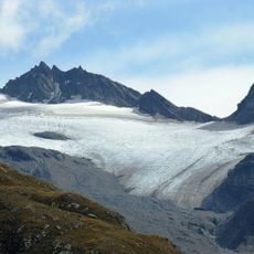
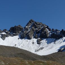
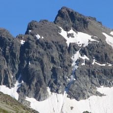
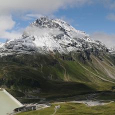
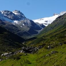
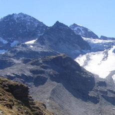
Ochsenkopf is a mountain summit in the Samnaun Alps near the Austrian-Swiss border in the Tyrol region, standing at 2912 meters. The peak connects several ridge walks that are particularly exposed and rocky in this part of the range.
The peak served as an observation post during border disputes between Austria and Switzerland in the early 20th century. This strategic role shaped how the location was perceived in local border history.
Local shepherds gather annually at the Ochsenkopf base for traditional Alpine cattle drives, marking seasonal transitions in mountain agriculture.
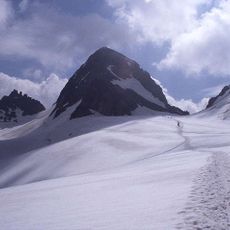
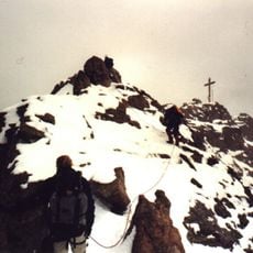
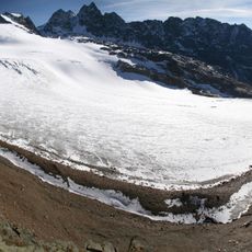
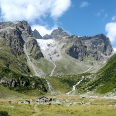
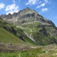
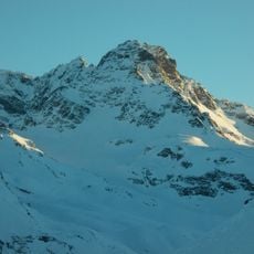
Marked trails reach the summit from both the Austrian and Swiss sides, with the climb taking roughly four hours and requiring solid footing skills. The route is often not passable during winter months, so planning according to weather conditions is important.
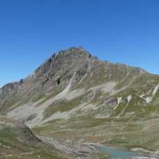
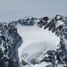
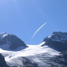
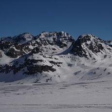
On clear winter days, visitors can see four countries from here: Austria, Switzerland, Italy, and Liechtenstein. This uncommon view makes this mountain ridge a special vantage point in the region.
The community of curious travelers
AroundUs brings together thousands of curated places, local tips, and hidden gems, enriched daily by 60,000 contributors worldwide.