Piz Buin Pitschen, Alpine summit in Silvretta range, Switzerland and Austria
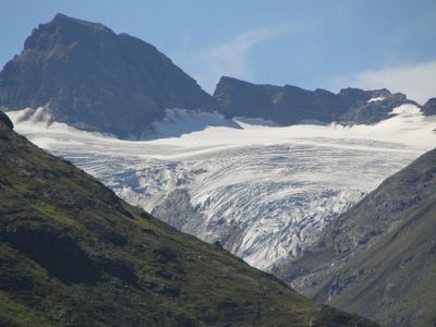
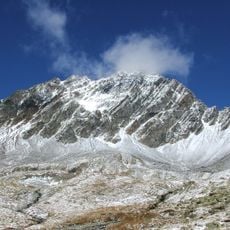
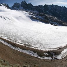
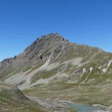
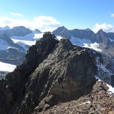
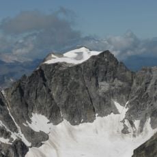
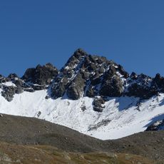
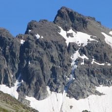
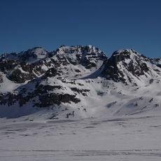
Piz Buin Pitschen is an Alpine peak in the Silvretta range that rises to 3,256 meters and forms the border between Switzerland's Graubünden canton and Austria's Vorarlberg state. The mountain is shaped by glaciers that cover its slopes and define its white appearance within the alpine landscape.
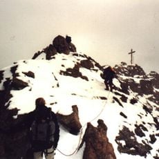
The first documented ascent took place on August 24, 1868, when O.W. Stein and mountain guide Christian Jann reached the summit and established the initial climbing route. This early exploration integrated the peak into Alpine mountaineering history during the 19th century.
The mountain's name comes from Romansh language roots, where 'Piz' means peak and 'Buin' refers to cattle, reflecting the pastoral farming that shaped this region. This linguistic connection reveals how herding traditions were woven into the geography of the Alps.
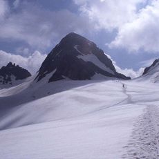
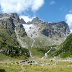
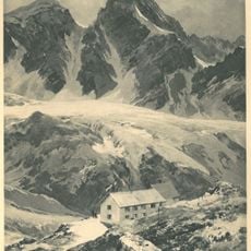
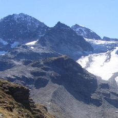
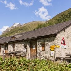
The climb starts from the Wiesbadener Hut at 2,443 meters, where climbers cross the Vermunt Glacier and follow the western ridge to the summit. This route requires glacier equipment and experience with steep terrain, so climbers should be trained and familiar with alpine conditions.
The northern face of the summit holds the Ochsenthaler Glacier, which forms the source of the River Ill that flows toward the Rhine basin. This water source connects the mountain to one of Europe's most important river systems.
The community of curious travelers
AroundUs brings together thousands of curated places, local tips, and hidden gems, enriched daily by 60,000 contributors worldwide.