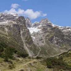
Piz Linard, Mountain summit in Graubünden, Switzerland.
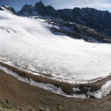
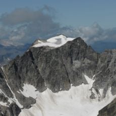
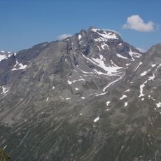
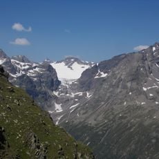
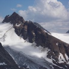
Piz Linard is a pyramid-shaped peak in the Silvretta range that rises to 3,410 meters and sits surrounded by other Alpine summits. The mountain features steep flanks on multiple sides and offers expansive views across the surrounding peaks from its top.
The first documented ascent was made on 1 August 1835 by the naturalist Oswald Heer with the guide Johann Madutz. Local hunters may have reached the summit earlier, but this was never proven. Around 1570 the historian Campell of Susch recorded the name Piz Chünard and a tale of a man of that name who carried a golden cross to the top; the cross was never found.
The name comes from the Romansh word piz, meaning peak; the historian Campell of Susch recorded around 1570 the form Piz Chünard and the tale of a man named Chounard who carried a golden cross to the summit, which was never found. The Atlas Suisse of 1802 still labelled the mountain Selvreta M. The summit cross and the view to the 273 km distant point near Mulhouse are details visitors seek.
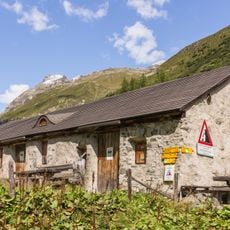
The Linard Hut at 2,327 meters serves as the main base for climbers attempting this summit. The marked routes from there demand solid climbing skills and proper gear, so experience with Alpine climbing is necessary.
The summit's farthest visible point lies 273 km to the northwest, near Mulhouse in the Grand Est region of France. The mountain's name appears as "Selvreta M" on the Atlas Suisse of 1802, and around 1570 the chronicler Campell of Susch recorded the form Piz Chünard, claiming a man of that name carried a golden cross to the top; the cross was never found.
The community of curious travelers
AroundUs brings together thousands of curated places, local tips, and hidden gems, enriched daily by 92,729 contributors worldwide.