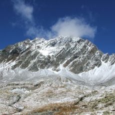
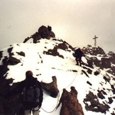
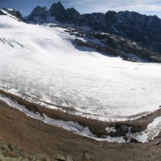
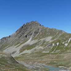
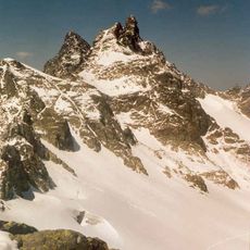
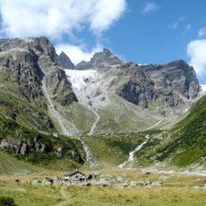
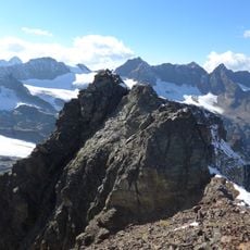
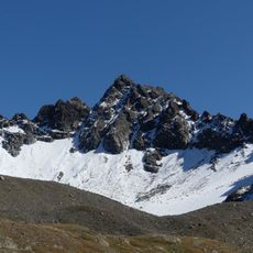
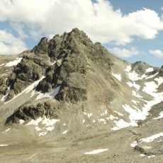
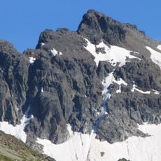
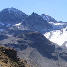
Signalhorn, Mountain summit in Zernez and Klosters, Switzerland.
The Signalhorn is a 3,210-metre summit of the Silvretta Alps on the border between Switzerland and Austria. It lies just east of the Silvretta Pass and forms the tripoint of Prättigau and Engadin in the Swiss canton of Graubünden and Montafon in the Austrian state of Vorarlberg. The surrounding terrain consists mainly of bare rock peaks and ice formations; Piz Buin rises 3,312 metres about 1.7 km to the east.
The Signalhorn lies on the border between Switzerland and Austria, just east of the Silvretta Pass. At 3,210 metres, it forms the tripoint where the Swiss regions of Prättigau and Engadin (canton of Graubünden) meet Montafon in the Austrian state of Vorarlberg. The nearest village on the Austrian side is Partenen, to the north; the higher Piz Buin stands 1.7 km to the east.
The summit is the tripoint where three regions meet: Prättigau and Engadin in the Swiss canton of Graubünden, and Montafon in the Austrian state of Vorarlberg. The nearest village on the Austrian side is Partenen, north of the peak, while the highest neighbour is Piz Buin, 3,312 m, about 1.7 km to the east.
Access to the peak is possible through multiple routes from the surrounding valleys and villages, with summer offering the most stable weather conditions. Visitors should expect demanding footwear and equipment requirements for high alpine climbing and need good experience with elevation and rock scrambling.
Signalhorn is the tripoint where three regions meet: Prättigau and Engadin in the Swiss canton of Graubünden, and Montafon in the Austrian state of Vorarlberg. The summit, at 3,210 metres, lies just east of the Silvretta Pass, 1.7 km west of Piz Buin (3,312 m).
The community of curious travelers
AroundUs brings together thousands of curated places, local tips, and hidden gems, enriched daily by 93,701 contributors worldwide.