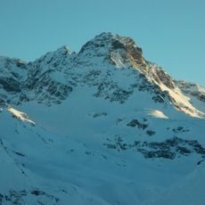
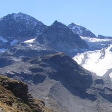
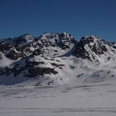
Silvretta Glacier, Mountain glacier in Grisons, Switzerland
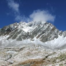
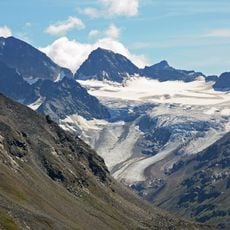
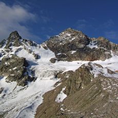
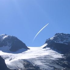
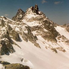
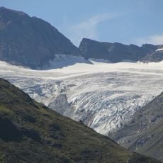
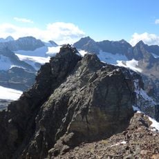
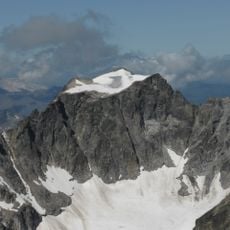
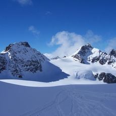
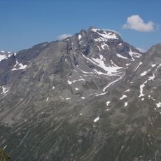
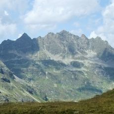
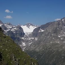
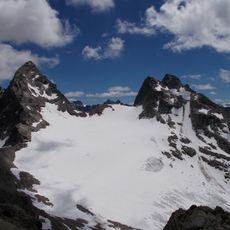
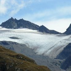
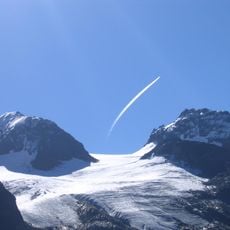
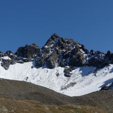
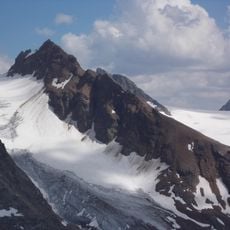
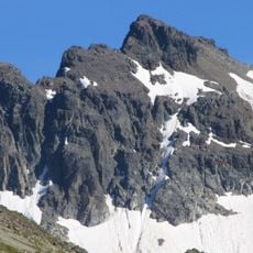
Silvretta Glacier is a mountain glacier in Grisons that stretches across a broad expanse between rocky peaks and valleys. The ice forms a distinctive blue-white landscape that shifts with the seasons and changing light.
Since 1956 ETH Zurich has recorded annual data on the glacier; by 2011 it had retreated 328 metres since measurements began. Mass balance has been determined yearly since 1960, the longest unbroken series still kept for a Swiss glacier. Around 1860, at its Little Ice Age maximum, it stood over 1 km further down the valley.
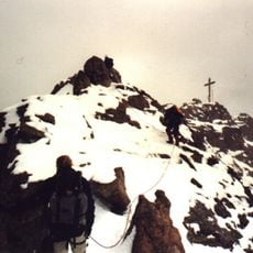
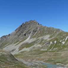
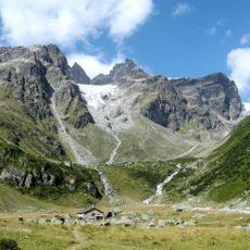
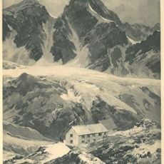
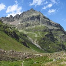
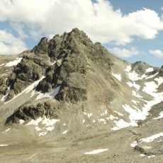
The glacier feeds the Verstanclabach, a headstream of the Landquart. Its name is recalled in the Silvrettahütte, the Swiss Alpine Club hut at 2,341 m below the glacier tongue, which serves as a base for high-alpine glacier and mountain tours. The surrounding moraine landscape, left by the retreating ice, now holds several small lakes.
The Silvrettahütte of the Swiss Alpine Club stands at 2341 m below the glacier tongue and serves as the starting point for high-alpine glacier and mountain tours. The Silvrettapass, now at 2987 m after melting, links the ice to the La Cudera glacier and marks the Rhine-Danube watershed.
Research institutions from Switzerland regularly study this glacier, making it an important site for alpine glacier research. Its data contributes to international long-term studies tracking how ice responds to changing conditions.
The community of curious travelers
AroundUs brings together thousands of curated places, local tips, and hidden gems, enriched daily by 92,875 contributors worldwide.