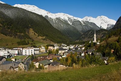
Zernez, municipality in Switzerland
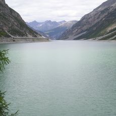
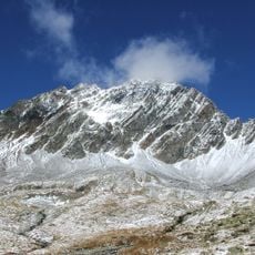
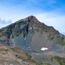
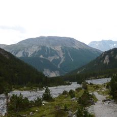
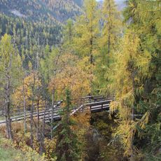
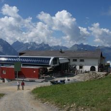
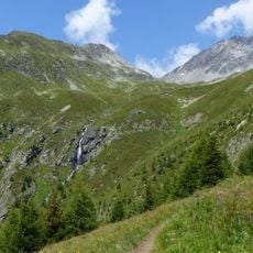
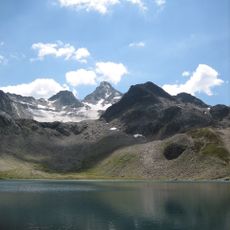
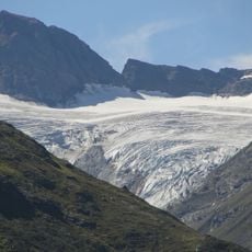
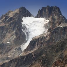
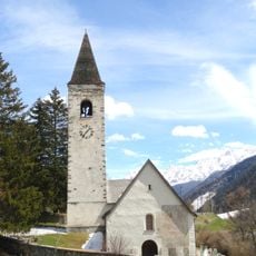
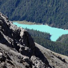
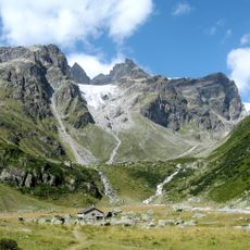
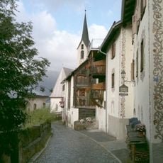
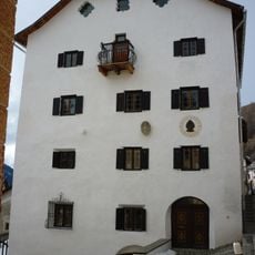
Zernez is a small municipality in the Engiadina Bassa region, situated at the entrance to a large national park and featuring traditional Engadin-style buildings with clean lines. It sits on a historic mountain pass and serves today as a starting point for hiking, cycling, and exploring the surrounding valleys and mountain landscapes.
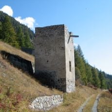
Zernez developed on a mountain pass that has connected different valleys for centuries, attracting merchants and travelers through the area. Its position on this trade route shaped the town's growth and made it an important hub in the region.
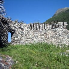
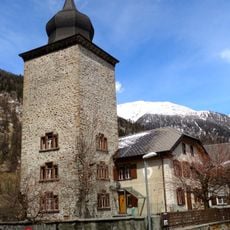
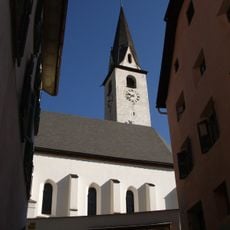
Zernez reflects its role as a historic crossing point where different regions met, a heritage visible in how locals live and maintain their homes today. The traditional Engadin architecture with simple lines and cheerful colors shows how residents express their connection to the landscape and local customs.
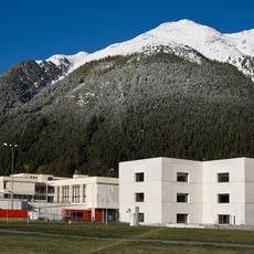
The village is easily accessible by train and bus, even from larger cities like Zurich, and has free parking for visitors. Infrastructure is well maintained with clear paths and roads, making it comfortable to explore the surroundings on foot or by bicycle.
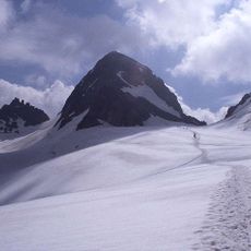
A specially organized snowshoe walk with a gamekeeper shows visitors how animals survive the winter and offers an unforgettable experience for all ages. This guided activity combines wildlife watching with local knowledge and makes the visit personal and educational.
The community of curious travelers
AroundUs brings together thousands of curated places, local tips, and hidden gems, enriched daily by 60,000 contributors worldwide.