Vareš, populated place in Bosnia and Herzegovina
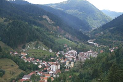
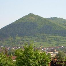
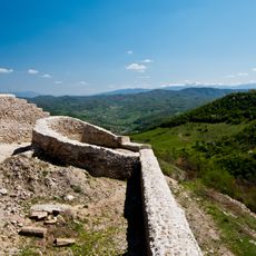
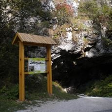
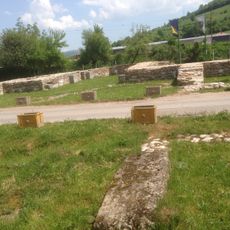
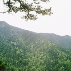
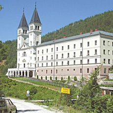
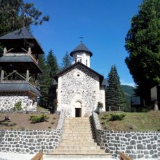
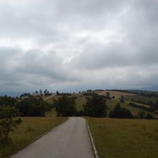
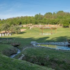
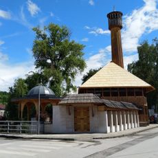
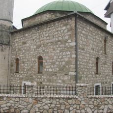
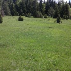
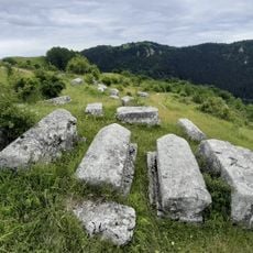
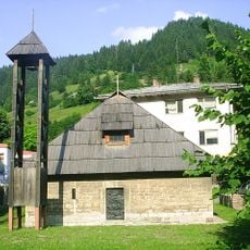
Vareš is a town in central Bosnia situated in a valley surrounded by high mountains at about 2,700 feet (830 meters). The area includes eight national monuments, nearby royal ruins at Bobovac, traditional farmhouses, and water systems that support agriculture and daily life throughout the region.
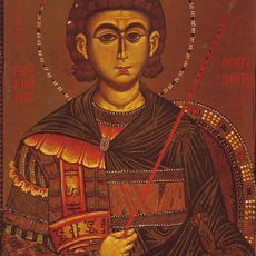
The town has roots in the Bronze Age and was known during Roman times for iron workers, while the Middle Ages connected it to the nearby royal fortress of Bobovac. Under Austrian-Hungarian rule, it became a key iron trade center, was liberated by partisan forces in 1945, and later experienced the warfare of the 1990s.
The town remains connected to metalworking traditions still practiced in the forges of nearby Oćevija, where artisans use water-powered techniques passed down through generations. Local farms and villages maintain rural customs and seasonal rhythms that shape daily life and community gatherings.
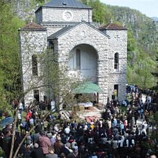
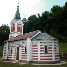
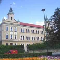
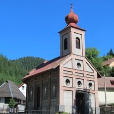
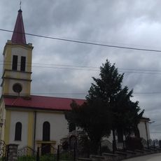
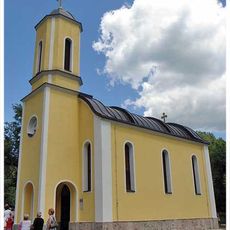
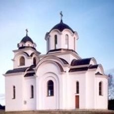
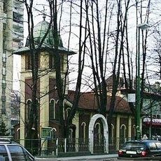
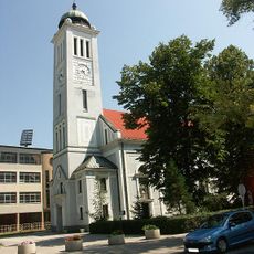
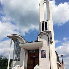
The town is easiest to reach by bus from Sarajevo, with buses running every couple of hours for about an hour and a half. Walking around reveals old buildings, churches, and monuments, and visitors should allow time to explore nearby sites like Bobovac fortress or Lake Smreka.
The medieval forges in nearby Oćevija are the last functioning water-powered smithies in Europe and showcase metalworking techniques over 800 years old. Visitors can watch artisans shape iron and purchase handcrafted souvenirs made using traditional methods that remain unchanged.
The community of curious travelers
AroundUs brings together thousands of curated places, local tips, and hidden gems, enriched daily by 60,000 contributors worldwide.