Herten, Large district town in Recklinghausen, Germany
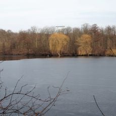
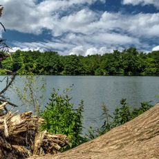
Herten is a large district town in Recklinghausen, North Rhine-Westphalia, covering 37 square kilometers (14 square miles) at the northern edge of the Ruhr area. The built-up area ranges from mining-era residential quarters to modern commercial zones scattered among parks and green corridors.
The settlement appears in records from 1050 as Herthene and remained a small farming village for centuries with only a few hundred inhabitants. Coal mining from 1872 onward transformed the place within decades into a mining town with thousands of workers arriving from across Europe.
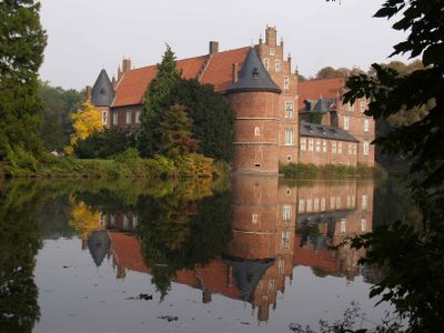
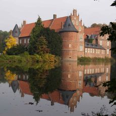
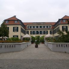
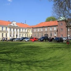
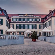
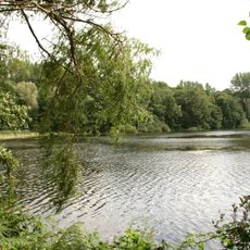
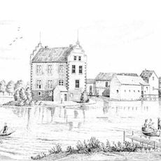
Residents use the castle grounds for weekend walks through the formal gardens and along the waterways surrounding the old moated residence. Local families gather in the park during summer months, and the orangery terrace offers a spot to rest under century-old trees.
The town sits along motorways A2 and A43, which lead toward Dortmund and Münster, and has two railway stations with regional service. Visitors reach the center on foot within minutes from either station and find level paths throughout the streets.
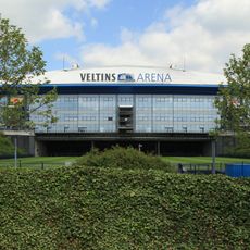
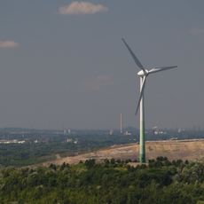
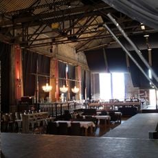
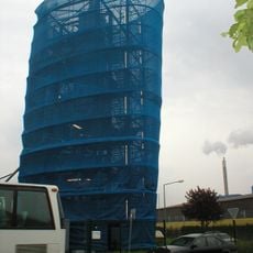
The former Ewald Colliery site now houses companies specializing in solar technology and wind power, with the old winding towers still standing as landmarks above the commercial area. The industrial architecture was not demolished but converted into offices and workshops.
The community of curious travelers
AroundUs brings together thousands of curated places, local tips, and hidden gems, enriched daily by 60,000 contributors worldwide.